Login

Forgotten password?

Cookies have to be accepted!
Your browser's cookie functionality is disabled. Please enable this functionality.

Not a member yet?

Register now
Login

Available for registred users only

Log in to use this feature.

Forgotten password?

Cookies have to be accepted!
Your browser's cookie functionality is disabled. Please enable this functionality.

Not a member yet?

Register now
Filter
Categories
Advanced filters
  • Distance (km)
  • Height
Save filters Reset filter

TrackRank

QRCode

Technical data

Distance9,0 km Height537 m Way down531 m Duration02:30 h:m Date24.09.2014
Scores Author User Landscape Fun factor Fitness Technique

Statistics

827 Views 1 Score 38 Downloads 2.00 Average
Rate
  • Track data sheet
  • Directions
  • Downloads
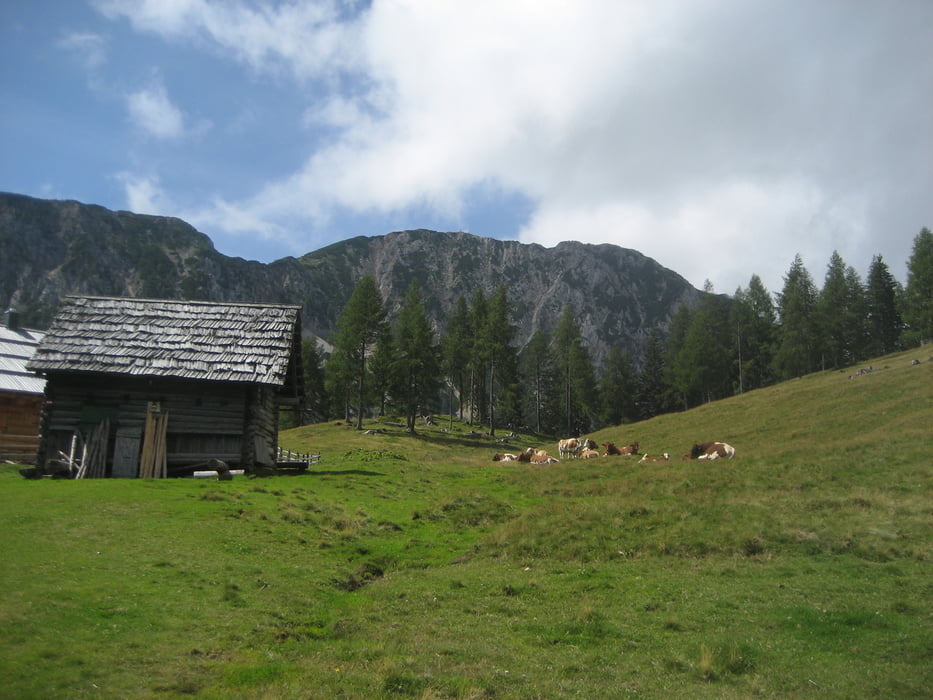
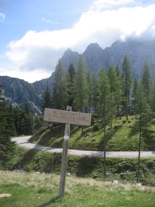
Wunderschöne Runde mit tollen Ausblicken in die Karawanken. Tour beginnt beim Bodenbauer und führt über die Märchenwiese in der Regel gut beschildert bis zur Ogrisalm. Fernglas mitnehmen, in den Schuthalden unterhalb der Vertatscha sind häufig Gämsen zu sehen.

Tour gallery

Tour map and elevation profile

  • Open Street Map
  • Google
Minimum height 1054 m Maximum height 1567 m Detailed view

More about the tour author

sstraesser
Member since 2012

Send private message

Comments

GPS tracks

Trackpoints
  • GPX / Garmin Map Source (gpx) download
  • TCX / Garmin Training Center® (tcx) download
  • CRS / Garmin Training Center® (crs) download
  • Google Earth (kml) download
  • G7ToWin (g7t) download
  • TTQV (trk) download
  • Overlay (ovl) download
  • Fugawi (txt) download
  • Kompass (DAV) Track (tk) download
  • Track data sheet (pdf) download
  • Original file of the author (gpx) download

More about the tour author

sstraesser
Member since 2012

Send private message
Share track
Add to my favorites
Remove from my favorites
Edit tags
My score
Rate
Track: Rundweg Bodental-Märchenwiese-Ogrisalm
Type: Hiking
Distance: 9,0 km
Evaluated on:
Duration:
Day(s)
Hour(s)
Minute(s)
Score: Landscape Fun factor Fitness Technique