Login

Forgotten password?

Cookies have to be accepted!
Your browser's cookie functionality is disabled. Please enable this functionality.

Not a member yet?

Register now
Login

Available for registred users only

Log in to use this feature.

Forgotten password?

Cookies have to be accepted!
Your browser's cookie functionality is disabled. Please enable this functionality.

Not a member yet?

Register now
Filter
Categories
Advanced filters
  • Distance (km)
  • Height
Save filters Reset filter

TrackRank

QRCode

Technical data

Distance4,5 km Height494 m Way down560 m Duration02:30 h:m Date28.09.2014
Scores Author Landscape Fun factor Fitness Technique

Statistics

368 Views Scores 21 Downloads Average
Rate
  • Track data sheet
  • Directions
  • Downloads

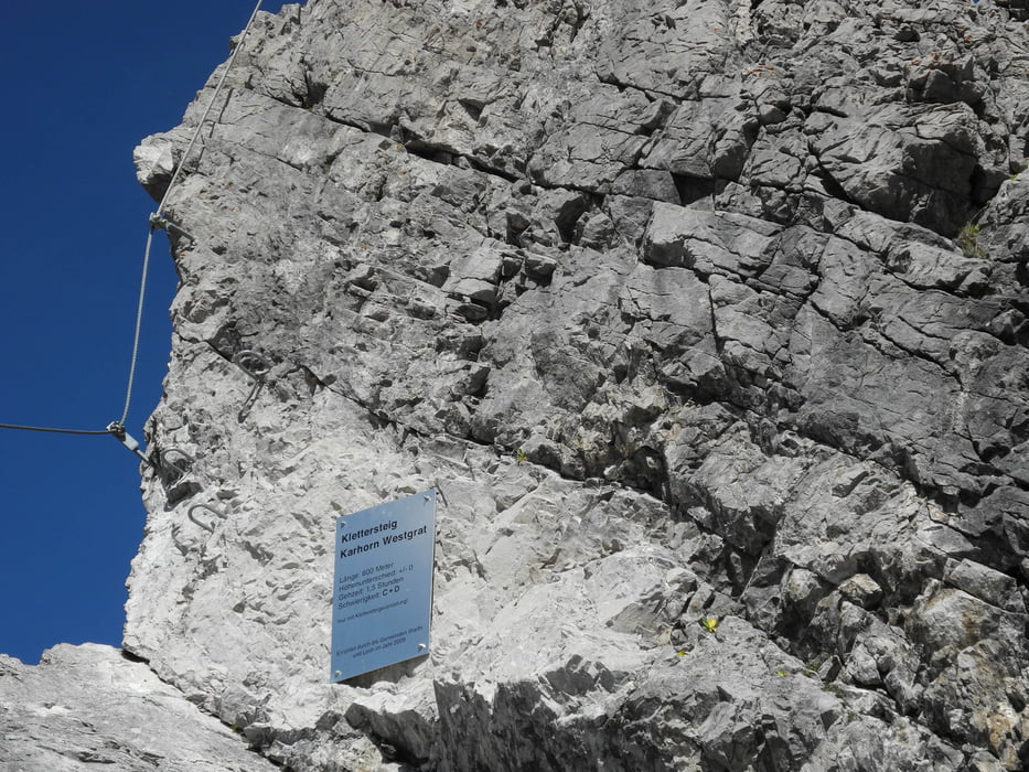
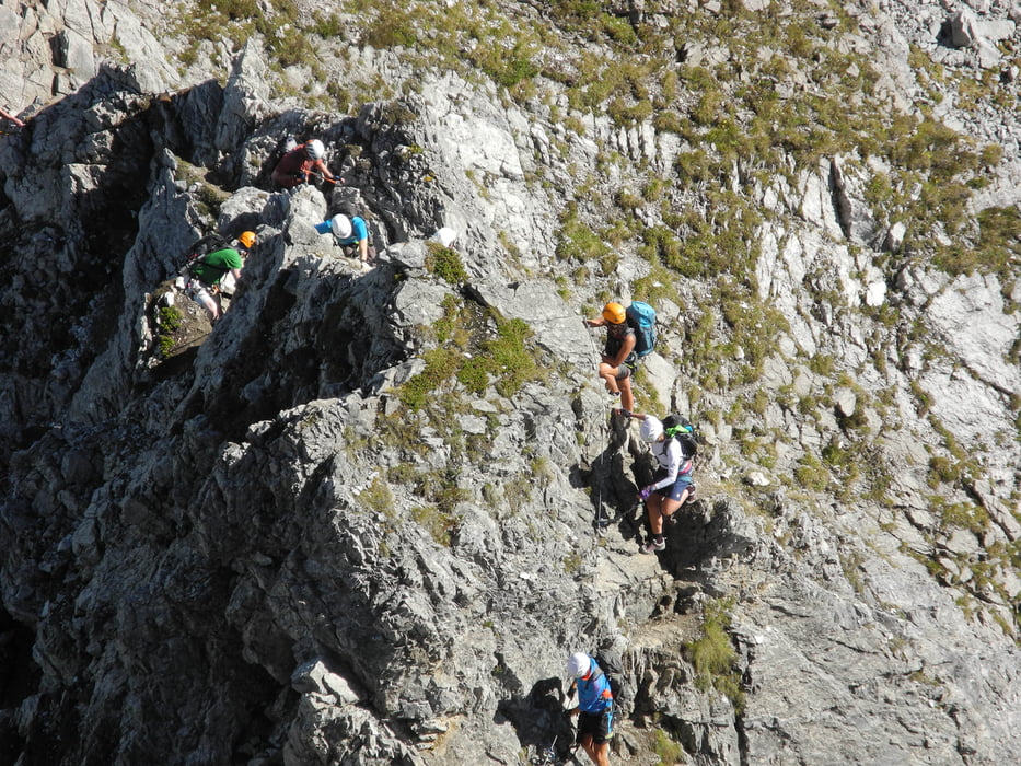
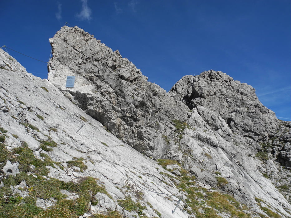
Der Anfang des Klettersteigs ist etwas feucht und rutschig.

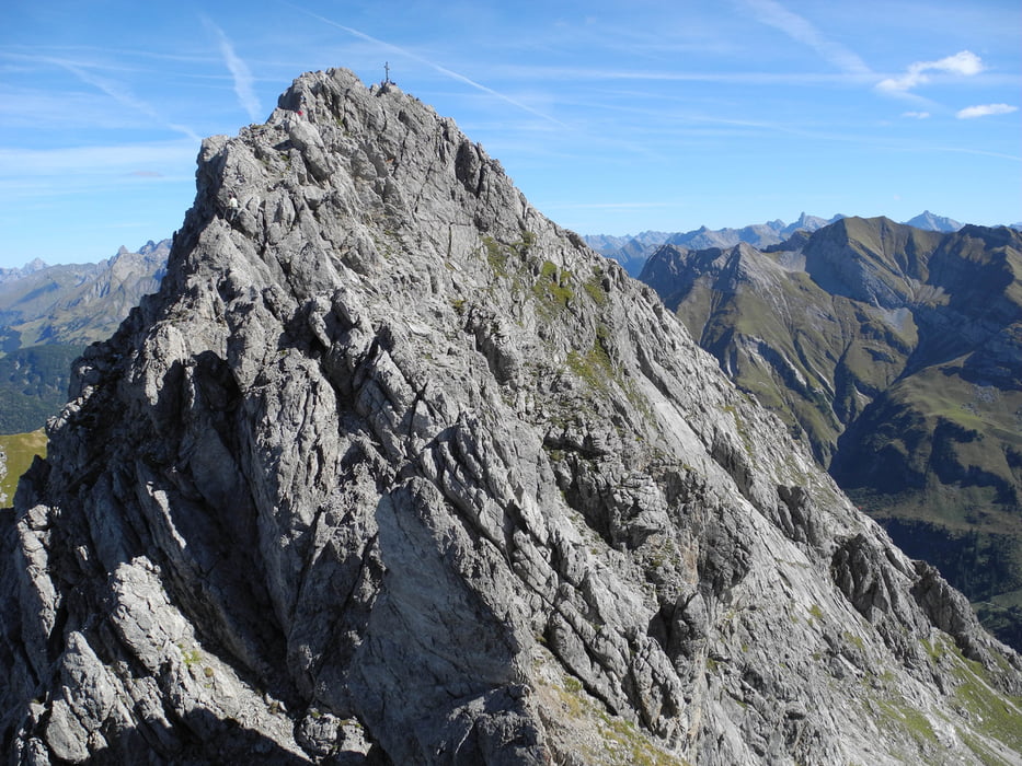
Nach dem Gipfel kommen zwei kurze Seilbrücken

Die Betriebszeiten der Seilbahn beachten!


Tour gallery

Tour map and elevation profile

  • Open Street Map
  • Google
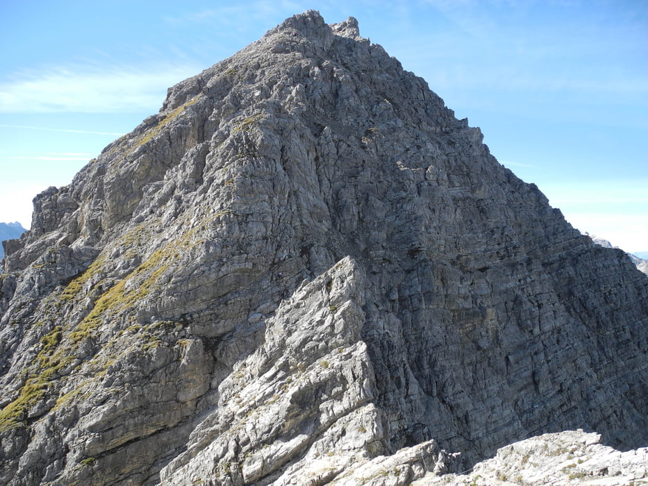
Minimum height 1868 m Maximum height 2411 m Detailed view

More about the tour author

xlink
Member since 2010

Send private message

Comments

GPS tracks

Trackpoints
  • GPX / Garmin Map Source (gpx) download
  • TCX / Garmin Training Center® (tcx) download
  • CRS / Garmin Training Center® (crs) download
  • Google Earth (kml) download
  • G7ToWin (g7t) download
  • TTQV (trk) download
  • Overlay (ovl) download
  • Fugawi (txt) download
  • Kompass (DAV) Track (tk) download
  • Track data sheet (pdf) download
  • Original file of the author (gpx) download

More about the tour author

xlink
Member since 2010

Send private message
Share track
Add to my favorites
Remove from my favorites
Edit tags
My score
Rate
Track: Karhorn
Type: Via ferrata
Distance: 4,5 km
Evaluated on:
Duration:
Day(s)
Hour(s)
Minute(s)
Score: Landscape Fun factor Fitness Technique