


Vom Parkplatz der Brauneckbahn am Hochseilgarten vorbei auf der Forststraße steil bergauf.
Die Skipisten querend bis auf den Sattel unterhalb des Brauneckgipfels. Von dort etliche Möglichkeiten die Tour zu variieren.
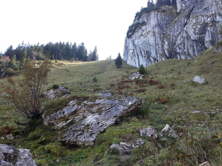
Wir entschieden uns für eine Brotzeit auf der Tölzer Hütte und den Abstieg über die Loghamalm und die Wasserböden. Anschließend den Wegweisern Richtung "Lenggries Bergbahnen" folgen.
Tour gallery
Tour map and elevation profile
Minimum height 598 m
Maximum height 1553 m
More about the tour author
|
|
ultra |
Comments

Bad Tölz - Lenggries - Gilgenhöfe - Parkplatz Bergbahn Brauneck (kostenlos)
GPS tracks
Trackpoints-
GPX / Garmin Map Source (gpx) download
-
TCX / Garmin Training Center® (tcx) download
-
CRS / Garmin Training Center® (crs) download
-
Google Earth (kml) download
-
G7ToWin (g7t) download
-
TTQV (trk) download
-
Overlay (ovl) download
-
Fugawi (txt) download
-
Kompass (DAV) Track (tk) download
-
Track data sheet (pdf) download
-
Original file of the author (gpx) download
More about the tour author
|
|
ultra |
Add to my favorites
Remove from my favorites
Edit tags
Open track
My score
Rate