


Rundwanderweg im Rosengarten mit Abstecher zur Preusshütte. Gestartet wird vom Karerpass.
Wer Hohnemeter sparen will, kann zum Start auch mit dem Paolina- Lift zur Paoilinahütte hochfahren (Hin+ Retour mit der Bahn 12,50 €uro - 2014).
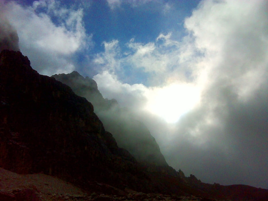
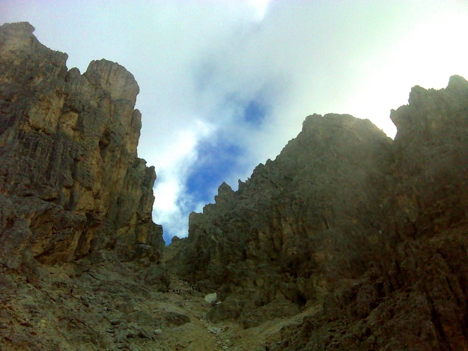
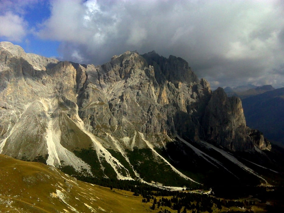
Wärend der Tour kommt man an 4 Hütten vorbei, sodass auch die Verpflegung gesichert ist. Der Weg selbst führt über weiter Passagen entlang der Dolomitenwände. Lokal ist Trittsicherheit gefragt, Zum Klettern gibt es keine Stelle.
Der Abstecher zur Preusshütte ist optional und würde die Tour um ca. 2 Stunden verkürzen (auf 5 Stunden sowie ca. 260hm weniger).
Further information at
http://www.rifugiovajolet.com/deu/links.htmTour gallery
Tour map and elevation profile
Minimum height 1756 m
Maximum height 2634 m
More about the tour author

|
erni0815 |
Comments

siehe goole maps!
GPS tracks
Trackpoints-
GPX / Garmin Map Source (gpx) download
-
TCX / Garmin Training Center® (tcx) download
-
CRS / Garmin Training Center® (crs) download
-
Google Earth (kml) download
-
G7ToWin (g7t) download
-
TTQV (trk) download
-
Overlay (ovl) download
-
Fugawi (txt) download
-
Kompass (DAV) Track (tk) download
-
Track data sheet (pdf) download
-
Original file of the author (gpx) download
More about the tour author
|
|
erni0815 |
Add to my favorites
Remove from my favorites
Edit tags
Open track
My score
Rate