
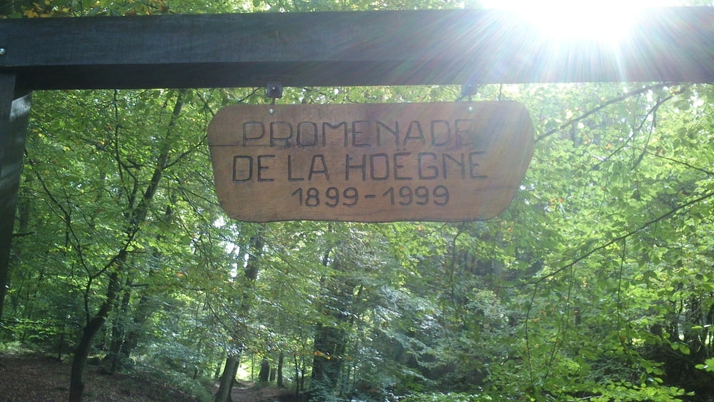

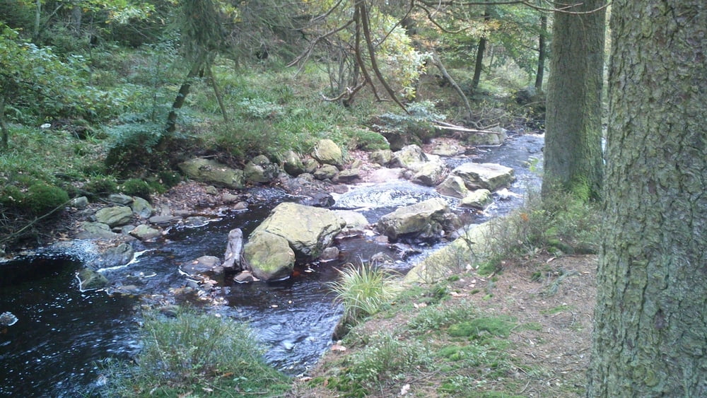
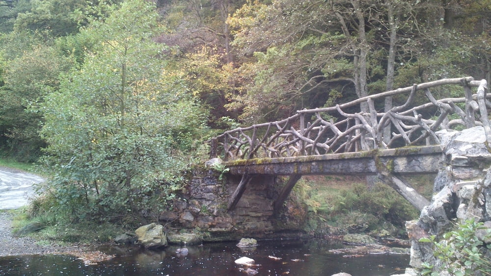
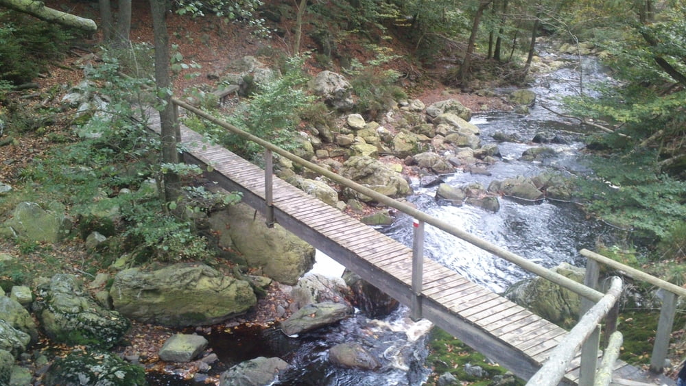
Landschaftlich sehr schöne Tour durch Wald und zurück entlang an dem Bach/Fluss La Hoegne.
Start/Ziel ist der Parkplatz am Ende der Straße "Rue Roquez" in B-4845 Sart (Jalhay).
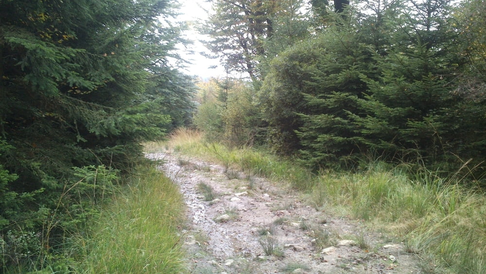
Vom Start machen wir erst einige Höhenmeter durch schöne Wald und Wiesenlandschaft, um dann anschließend im Tal dem "La Hoegne Trail" Richtung Ausgangspunkt zu folgen.
Tour gallery
Tour map and elevation profile
Minimum height 365 m
Maximum height 579 m
More about the tour author
|
|
hilli_ac |
Comments

Autobahn E42 (Verwiers Richtung Trier) Abfahrt SART.
N640 Richtung Francorchamps folgen.
Nach ca.1,5km links in die kleine Straße "Rue Roquez" abbiegen, und bis zum Ende folgen.
Am Ende der Straße ist der Parkplatz/Ausgangspunkt der Wanderung.
GPS tracks
Trackpoints-
GPX / Garmin Map Source (gpx) download
-
TCX / Garmin Training Center® (tcx) download
-
CRS / Garmin Training Center® (crs) download
-
Google Earth (kml) download
-
G7ToWin (g7t) download
-
TTQV (trk) download
-
Overlay (ovl) download
-
Fugawi (txt) download
-
Kompass (DAV) Track (tk) download
-
Track data sheet (pdf) download
-
Original file of the author (gpx) download
More about the tour author
|
|
hilli_ac |
Add to my favorites
Remove from my favorites
Edit tags
Open track
My score
Rate