Login

Forgot your login?

Cookies have to be accepted!
Your browser's cookie functionality is disabled. Please enable this functionality.

Not a member yet?

Register now
Login

Available for registred users only

Log in to use this feature.

Forgot your login?

Cookies have to be accepted!
Your browser's cookie functionality is disabled. Please enable this functionality.

Not a member yet?

Register now
Filter
Categories
Advanced filters
  • Distance (km)
  • Height
Save filters Reset filter

TrackRank

QRCode

Technical data

Distance240,6 km Height3527 m Way down3537 m Duration03:09 h:m Date18.10.2014
Scores Author Landscape Fun factor Fitness Technique

Statistics

1001 Views Scores 101 Downloads Average
Rate
  • Track data sheet
  • Directions
  • Downloads

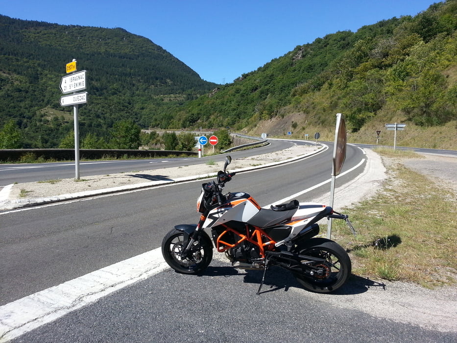
Man sollte die Strecke zweimal fahren. Einmal um sich die Landschaft anzusehen und einmal um die Kurven zu fahren. Hatte mich für die zweite Variante entschieden. Gefahren mit KTM Duke 690R


Tour map and elevation profile

  • Open Street Map
  • Google
Minimum height 114 m Maximum height 1049 m Detailed view

More about the tour author

radongreg
Member since 2009

Send private message

Comments

GPS tracks

Trackpoints
  • GPX / Garmin Map Source (gpx) download
  • TCX / Garmin Training Center® (tcx) download
  • CRS / Garmin Training Center® (crs) download
  • Google Earth (kml) download
  • G7ToWin (g7t) download
  • TTQV (trk) download
  • Overlay (ovl) download
  • Fugawi (txt) download
  • Kompass (DAV) Track (tk) download
  • Track data sheet (pdf) download
  • Original file of the author (gpx) download

More about the tour author

radongreg
Member since 2009

Send private message
Share track
Add to my favorites
Remove from my favorites
Edit tags
My score
Rate
Track: Tarnschlucht
Type: Motorcycles
Distance: 240,6 km
Evaluated on:
Duration:
Day(s)
Hour(s)
Minute(s)
Score: Landscape Fun factor Fitness Technique