


Tagestour um den Tschirgant.
Beim Startpunkt befindet sich ein kostenloser Parkplatz (für ca. 15 - 20 Autos).
Man kann die Tour in beiden Richtungen gehen. Empfohlen wird aber der Aufstieg über die Karröstenalm (im Uhrzeigersinn) und nicht über die Karresalm. Dies deshalb, da der Aufstieg von der Karresalm auf den Tschirgant jedenfalls steiler und kräfteraubender ist.
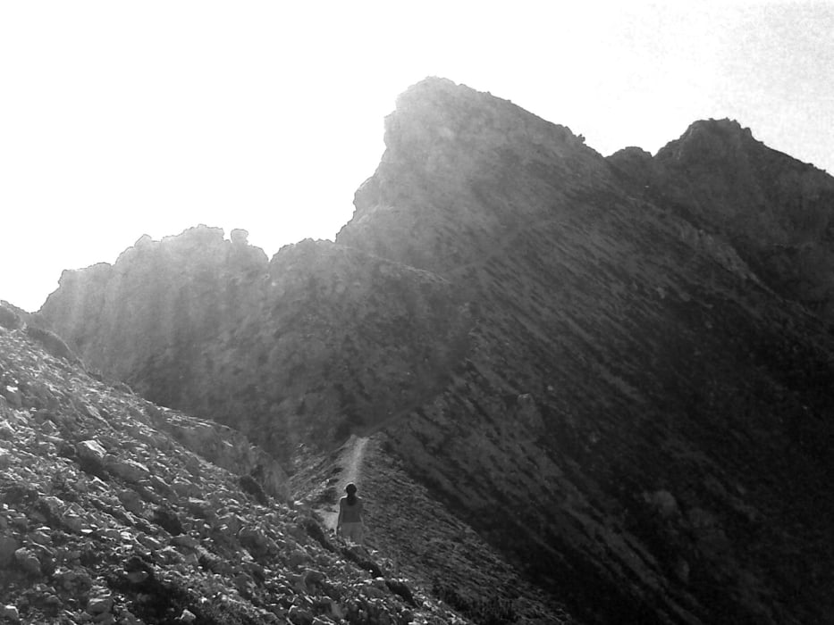
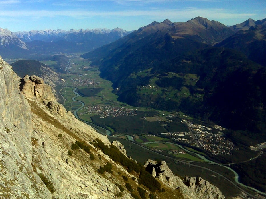
Der Weg selbst führt über weite Bereiche entlang von Pfaden, wobei man auf der Nordseite durch Wälder und auf der Südseite primär im oberen Berich durch Latschenfelder wandert. Ab dem Joch bis zum Gipfel ist es baumlos. Trittsicherheit und Schwindelfreiheit ist gefragt, es gibt aber keine besonderst ausgesetzten Passagen.
Unterwegs gibt es die Möglichkeit auf eine der beiden zuvor erwähnten Almen (Karröstenalm , Karresalm) einzukehren.
Further information at
http://de.wikipedia.org/wiki/TschirgantTour gallery


Tour map and elevation profile
Minimum height 1032 m
Maximum height 2365 m
More about the tour author

|
erni0815 |
Comments

siehe google maps :-)
GPS tracks
Trackpoints-
GPX / Garmin Map Source (gpx) download
-
TCX / Garmin Training Center® (tcx) download
-
CRS / Garmin Training Center® (crs) download
-
Google Earth (kml) download
-
G7ToWin (g7t) download
-
TTQV (trk) download
-
Overlay (ovl) download
-
Fugawi (txt) download
-
Kompass (DAV) Track (tk) download
-
Track data sheet (pdf) download
-
Original file of the author (gpx) download
More about the tour author
|
|
erni0815 |
Add to my favorites
Remove from my favorites
Edit tags
Open track
My score
Rate