

Sehr schöne Bike & Hike - Tour von Garsella auf die Kellaspitze.
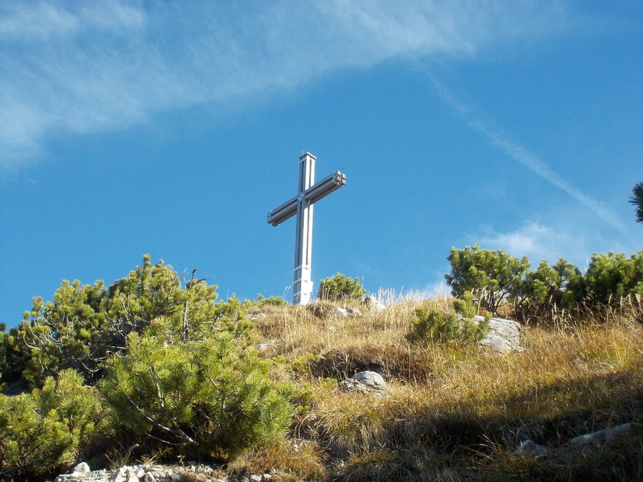
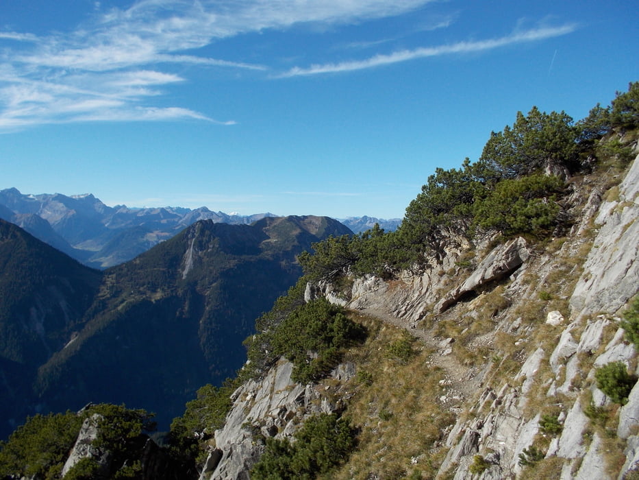
Achtung: Der Weg von der Stafelfederalpe auf die Kellaspitze ist sehr alpin; es gibt einige Drahtseile und ist eine ordentliche Kletterei. Auf jeden Fall sind hier feste Bergschuhe und Bergerfahrung notwendig! Keinesfalls mit Bikeschuhen aufsteigen!
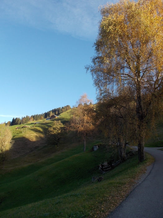
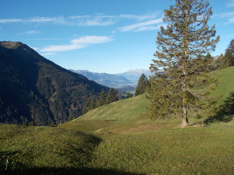
Startpunkt ist Garsella an der Abzweigung nach Marul. Hier die asphaltierte Straße hoch nach Marul fahren. Weiter auf einer ebenfalls asphaltierten Strass zur Stafelfederalpe durch eine wunderschöne Almlandschaft.
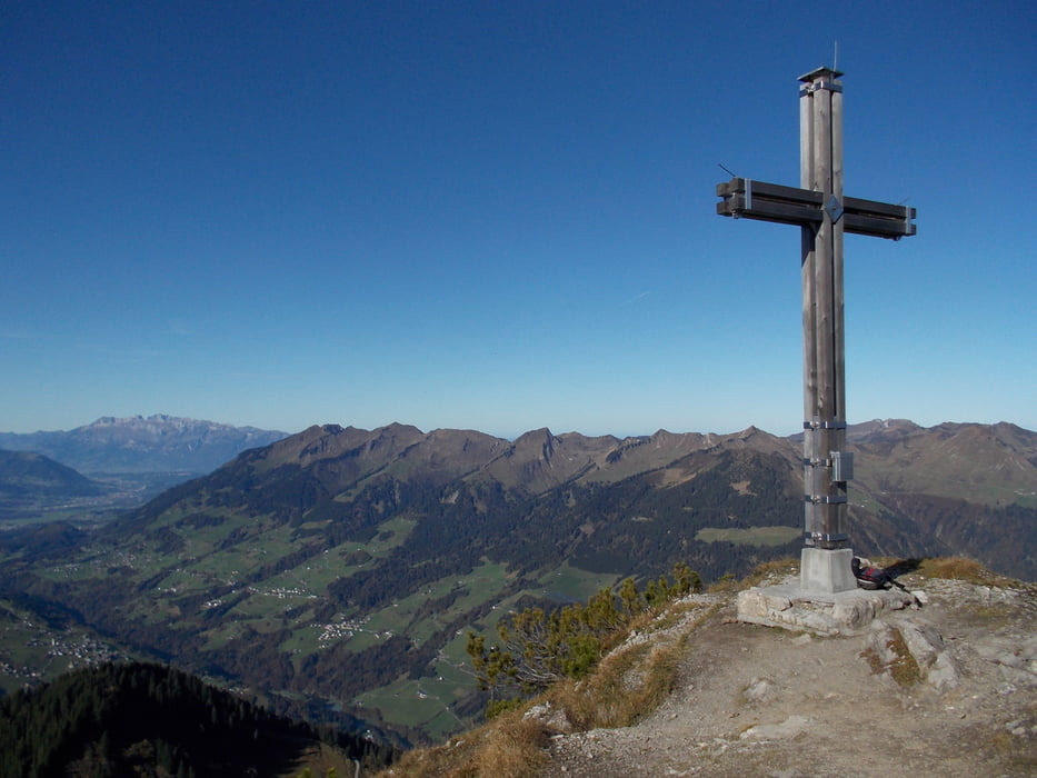
Hier das Bike abstellen und zu Fuß auf dem ausgeschilderten Weg rauf zur Kellaspitze. Für den Weg hin und zurück ca. 2,5 Stunden einplanen. Der Auf- und Abstige muß teilweise auf allen Vieren bewältigt werden, teilweise ausgesetzt und ein bisschen Kletterei ist auch bei.
Zurück zur Alpe und dann fahren wir noch mal weiter, ein kleines Stückchen bergauf und dann gehts abwärts nach Garsella.
Further information at
http://www.grosseswalsertal.at/system/web/default.aspx?sprache=1Tour gallery
Tour map and elevation profile
Minimum height 726 m
Maximum height 2016 m
More about the tour author
|
|
Wayneschlegell |
Comments

Anfahrt über die Autobahn, Abfahrt Nenzing, über Thüringen nach Garsella.
GPS tracks
Trackpoints-
GPX / Garmin Map Source (gpx) download
-
TCX / Garmin Training Center® (tcx) download
-
CRS / Garmin Training Center® (crs) download
-
Google Earth (kml) download
-
G7ToWin (g7t) download
-
TTQV (trk) download
-
Overlay (ovl) download
-
Fugawi (txt) download
-
Kompass (DAV) Track (tk) download
-
Track data sheet (pdf) download
-
Original file of the author (gpx) download
More about the tour author
|
|
Wayneschlegell |
Add to my favorites
Remove from my favorites
Edit tags
Open track
My score
Rate