


Vom Parkplatz des Skiliftes am Mendelpass gestartet.
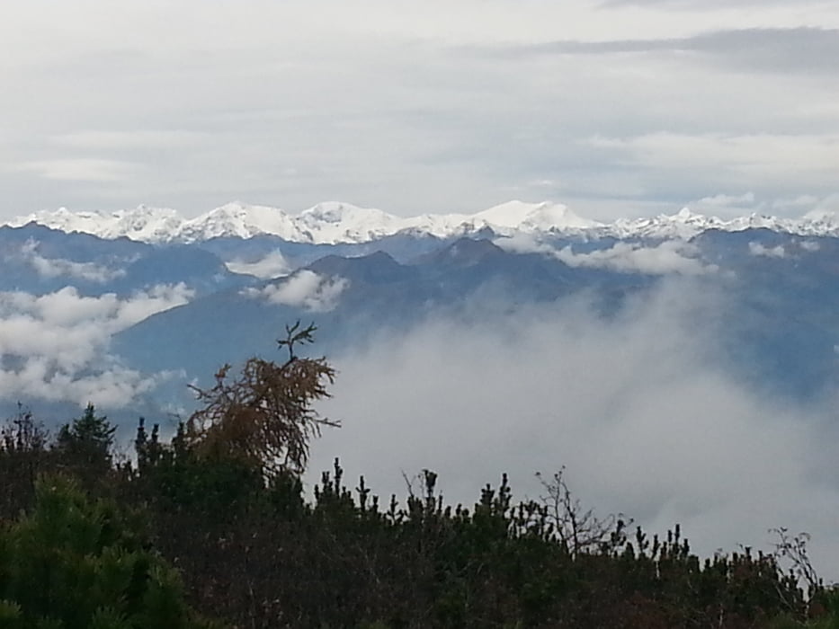
Gerade aus hinauf über die Piste bis zum Wanderweg Richtung Roen und malga mazzavina. Nach einem ca. 2, 5 Std. Anstieg kamen wir zur Überetscher Hütte. Kurz eingekehrt und anschl. in den Klettersteig eingestiegen. Nach dem Ausstieg noch ca. 15 Minuten bis zum unspektakulären Gipfel. Abstieg in Richtung malga romero und dann auf dem Anstiegsweg zurück. Stärkung in der malga mazzavina eingenommen und nach ca. 6 Std. wieder am Auto. Sonne und Nebel im Wechsel. Landschaftlich sehr schön.
Tour gallery
Tour map and elevation profile
Minimum height 452 m
Maximum height 2119 m
More about the tour author
|
|
ultra |
Comments

Entweder vom Nonstal oder vom Unterland aus auf den Mendelpass. Parken am Skilift-Parkplatz.
Im Oktober der Lift geschlossen.
GPS tracks
Trackpoints-
GPX / Garmin Map Source (gpx) download
-
TCX / Garmin Training Center® (tcx) download
-
CRS / Garmin Training Center® (crs) download
-
Google Earth (kml) download
-
G7ToWin (g7t) download
-
TTQV (trk) download
-
Overlay (ovl) download
-
Fugawi (txt) download
-
Kompass (DAV) Track (tk) download
-
Track data sheet (pdf) download
-
Original file of the author (gpx) download
More about the tour author
|
|
ultra |
Add to my favorites
Remove from my favorites
Edit tags
Open track
My score
Rate