

Wanderroute Nummer 12 was die Längster aller Wanderrouten in Gildehaus ist.
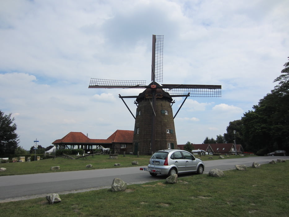
Startpunkt ist an der Ostmühle wo sich eine gute Parkmöglichkeit befindet. Durch Felder führt bis runter zum Drilander See und dort einmal im Kreis durch den Wald beginnt der Rückweg.
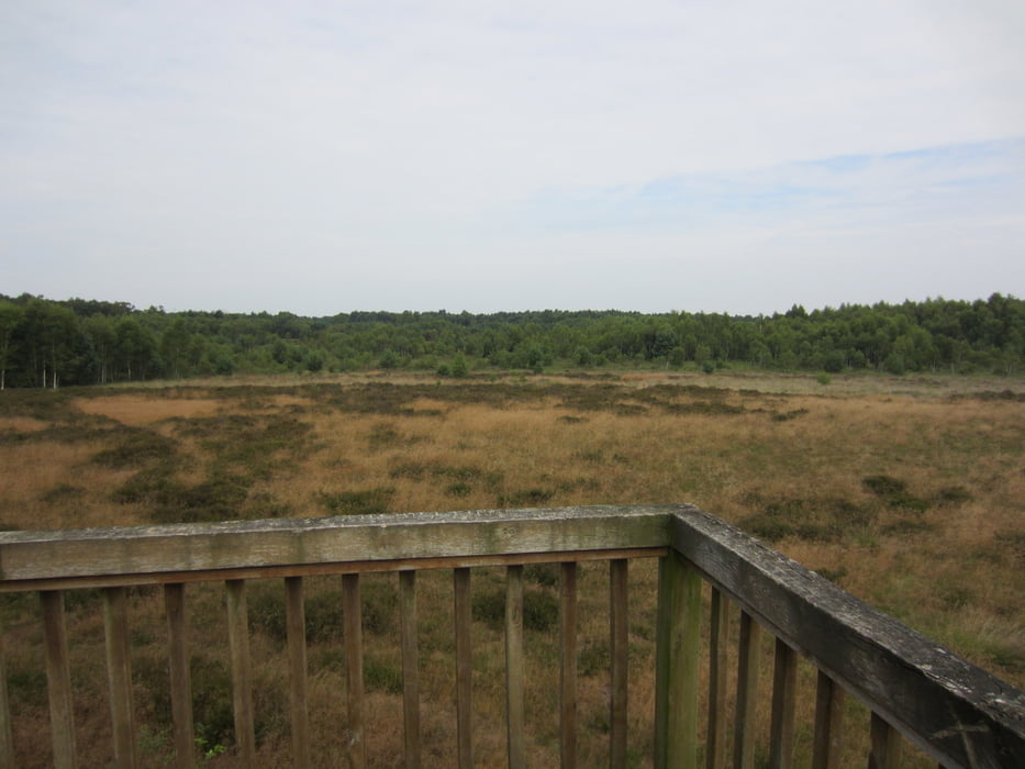
Man kann wahlweise am Rand vom Naturschutzgebiet dem Weg folgen oder auf einen kleinen Pfad der die Beiden Ausichtspunkten des Naturschutz gebietes einen Tieferen Einblick ins Gebiet genießen.
Zurück geht es durch die Felder und dem Rand Gebiet der Stadt
Tour gallery


Tour map and elevation profile
Minimum height 61 m
Maximum height 132 m
More about the tour author

|
Diggs |
Comments

GPS tracks
Trackpoints-
GPX / Garmin Map Source (gpx) download
-
TCX / Garmin Training Center® (tcx) download
-
CRS / Garmin Training Center® (crs) download
-
Google Earth (kml) download
-
G7ToWin (g7t) download
-
TTQV (trk) download
-
Overlay (ovl) download
-
Fugawi (txt) download
-
Kompass (DAV) Track (tk) download
-
Track data sheet (pdf) download
-
Original file of the author (gpx) download
More about the tour author
|
|
Diggs |
Add to my favorites
Remove from my favorites
Edit tags
Open track
My score
Rate