Login

Forgotten password?

Cookies have to be accepted!
Your browser's cookie functionality is disabled. Please enable this functionality.

Not a member yet?

Register now
Login

Available for registred users only

Log in to use this feature.

Forgotten password?

Cookies have to be accepted!
Your browser's cookie functionality is disabled. Please enable this functionality.

Not a member yet?

Register now
Filter
Categories
Advanced filters
  • Distance (km)
  • Height
Save filters Reset filter

TrackRank

QRCode

Technical data

Distance67,6 km Height0 m Way down0 m Duration4 days 10 h Date10.11.2014
Scores Author Landscape Fun factor Fitness Technique

Statistics

745 Views Scores 53 Downloads Average
Rate
  • Track data sheet
  • Directions
  • Downloads
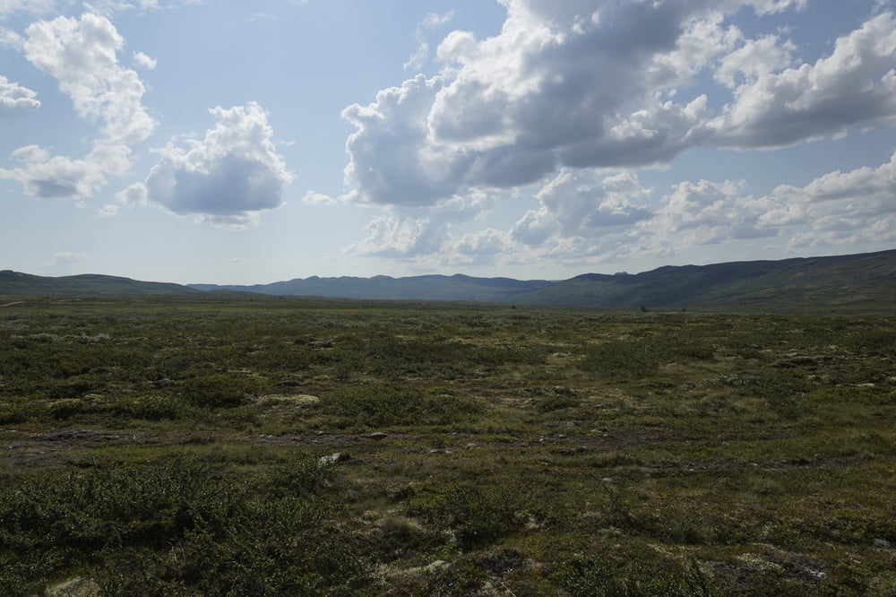
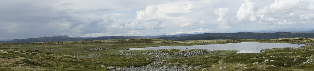
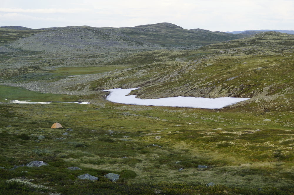
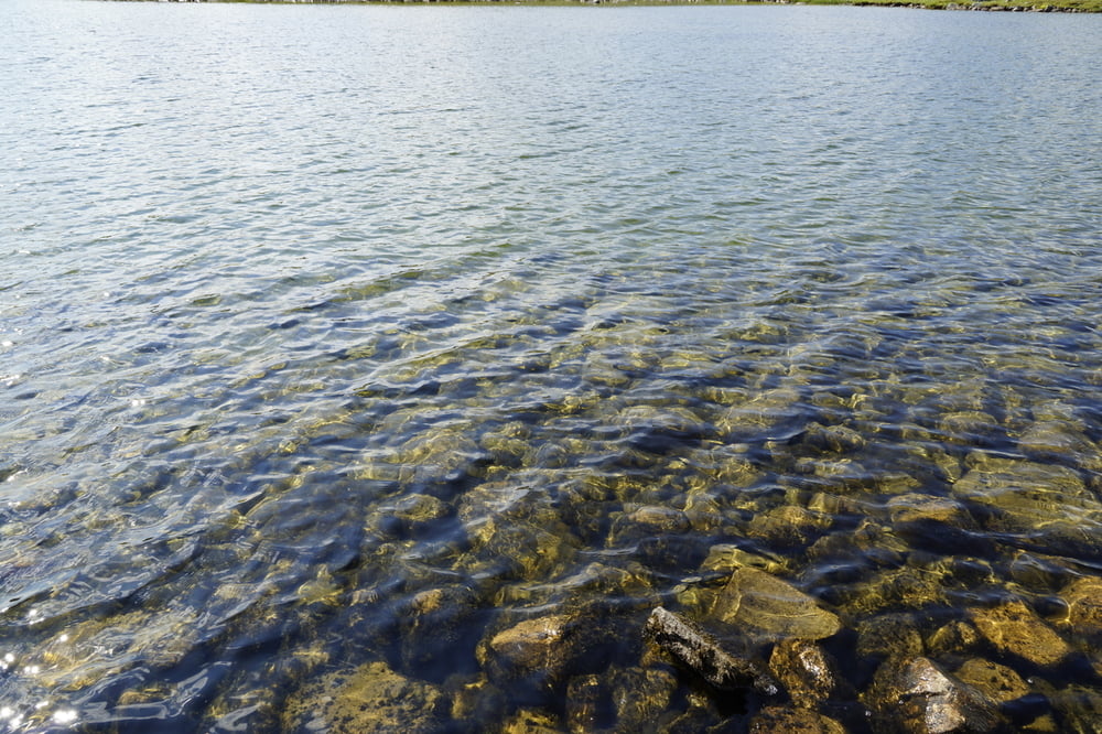
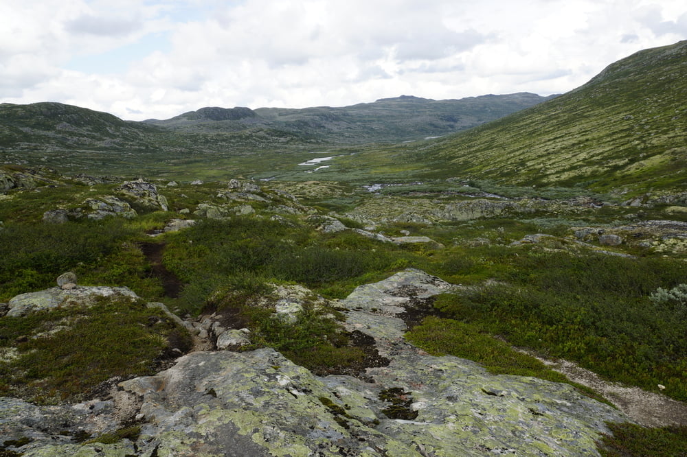
Traumhafte Landshaften am Rande des Hardangervidda. Einfache und gut zu findende Wege. Nur die Mooretappe ist ein wenig anspruchsvoller. Man kann diese Tour nur Empfehlen. Auch Anfänger geeigent, die gerne mit dem Zelt los ziehen wollen. 

Tour gallery

Tour map and elevation profile

  • Open Street Map
  • Google
Minimum height 99999 m Maximum height -99999 m Detailed view

More about the tour author

the_marten
Member since 2014

Send private message

Comments

GPS tracks

Trackpoints
  • GPX / Garmin Map Source (gpx) download
  • TCX / Garmin Training Center® (tcx) download
  • CRS / Garmin Training Center® (crs) download
  • Google Earth (kml) download
  • G7ToWin (g7t) download
  • TTQV (trk) download
  • Overlay (ovl) download
  • Fugawi (txt) download
  • Kompass (DAV) Track (tk) download
  • Track data sheet (pdf) download
  • Original file of the author (gpx) download

More about the tour author

the_marten
Member since 2014

Send private message
Share track
Add to my favorites
Remove from my favorites
Edit tags
My score
Rate
Track: 4 Tage Hardanger Vidda
Type: Hiking
Distance: 67,6 km
Evaluated on:
Duration:
Day(s)
Hour(s)
Minute(s)
Score: Landscape Fun factor Fitness Technique