


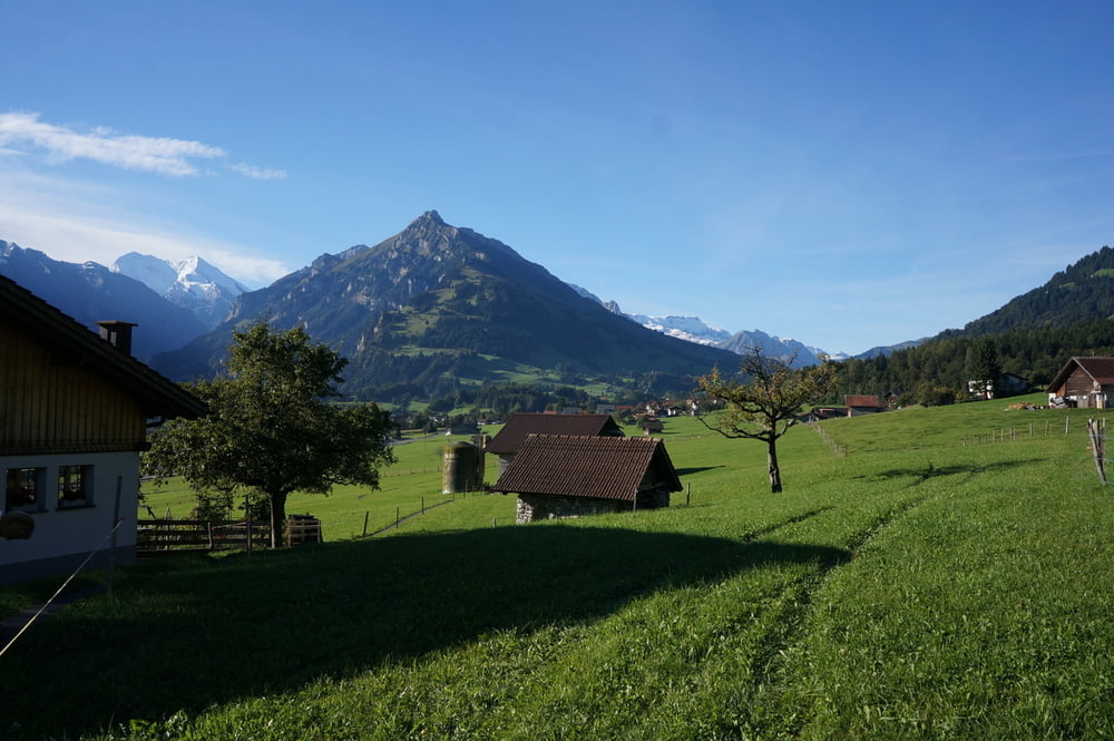
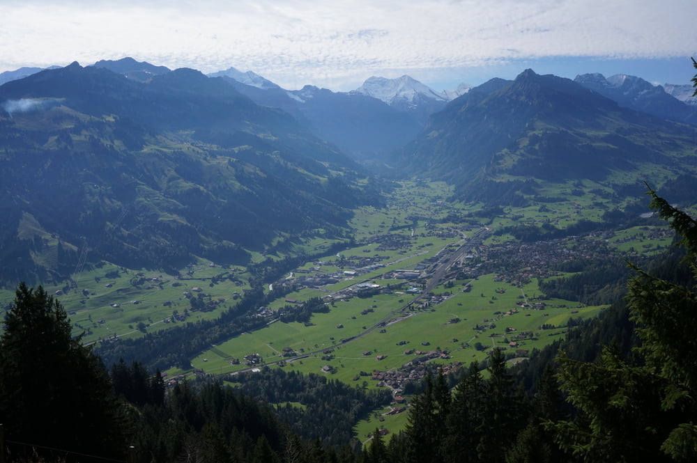
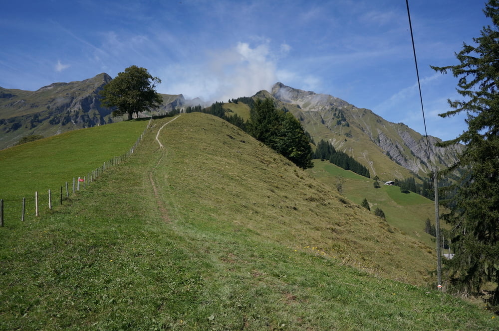
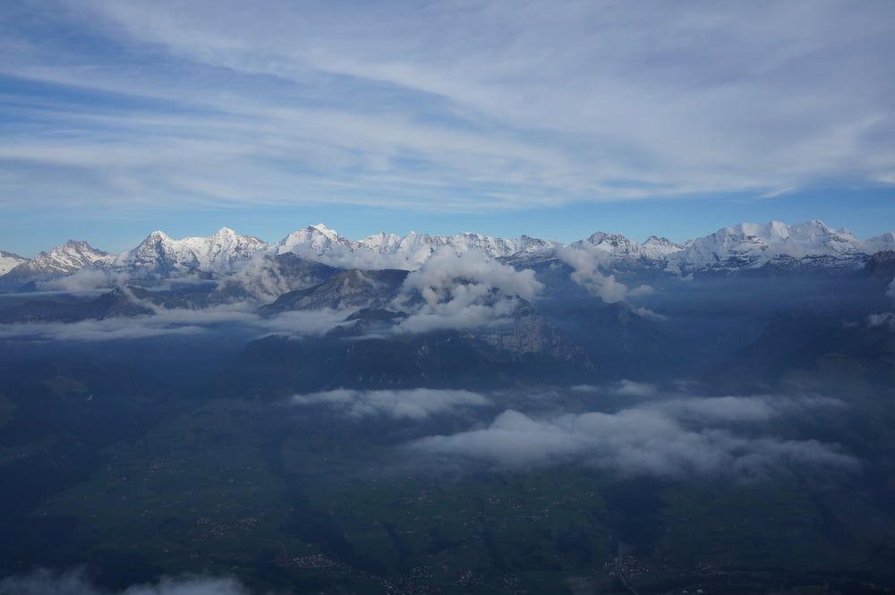
Eine sehr schöne Tour mit viel Ausblick ins Kandertal, da man über weite Strecken parallel zum Tal geht. Die Steigung ist recht kontinuierlich verteilt, technisch ist der Weg nicht besonders anspruchsvoll. Der Gipfel belohnt mit einer traumhaften Aussicht auf das Bergpanorama.
Gewandert sind wir die Tour im September 2013.
Tour gallery
Tour map and elevation profile
Minimum height 788 m
Maximum height 2321 m
More about the tour author
|
|
s-braeutigam |
Comments

Ausgangspunkt war die bls-Bahnstation Frutigen.
Bergab haben wir die Niesen-Bahn genommen, deren Talstation befindet sich an der bls-Station Mülenen.
GPS tracks
Trackpoints-
GPX / Garmin Map Source (gpx) download
-
TCX / Garmin Training Center® (tcx) download
-
CRS / Garmin Training Center® (crs) download
-
Google Earth (kml) download
-
G7ToWin (g7t) download
-
TTQV (trk) download
-
Overlay (ovl) download
-
Fugawi (txt) download
-
Kompass (DAV) Track (tk) download
-
Track data sheet (pdf) download
-
Original file of the author (gpx) download
More about the tour author
|
|
s-braeutigam |
Add to my favorites
Remove from my favorites
Edit tags
Open track
My score
Rate