


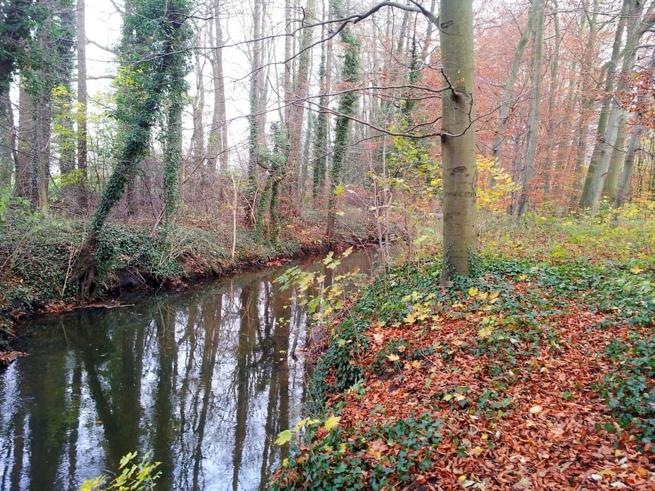
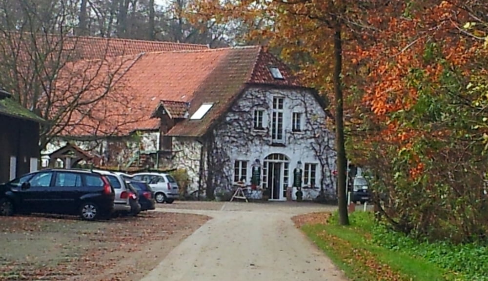
Diese Runde führt dich vom Isselhorster Kirchplatz durch den Lutterwald in Richtung Marienfeld. An der zweiten Brücke verlässt Du das Wäldchen und gehst Richtung Gütersloh, über die Kahlertstraße, entlang den Bahnschienen bis zur Hollerstr.. Nächstes Ziel ist der Meierhof Rassfeld. Über die Brockhägerstr., später entlang des Blankenhagener Sportplatzes erreichst durch auf kleinen Pättchen wieder die Brockhägerstr.. Immer entlang der Lutter erreichst Du deinen Ausgangspunkt.
Insgesamt eine Strecke auf fast unbekannten Wegen.
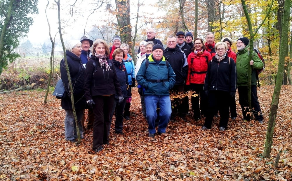
Tour gallery
Tour map and elevation profile
Minimum height 64 m
Maximum height 87 m
More about the tour author
|
|
radrolle48 |
Comments

GPS tracks
Trackpoints-
GPX / Garmin Map Source (gpx) download
-
TCX / Garmin Training Center® (tcx) download
-
CRS / Garmin Training Center® (crs) download
-
Google Earth (kml) download
-
G7ToWin (g7t) download
-
TTQV (trk) download
-
Overlay (ovl) download
-
Fugawi (txt) download
-
Kompass (DAV) Track (tk) download
-
Track data sheet (pdf) download
-
Original file of the author (gpx) download
More about the tour author
|
|
radrolle48 |
Add to my favorites
Remove from my favorites
Edit tags
Open track
My score
Rate