


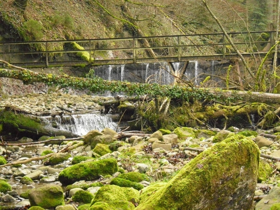
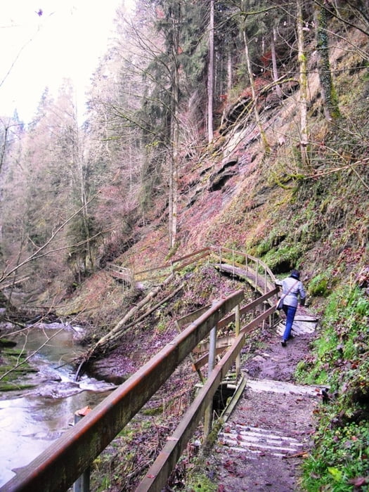
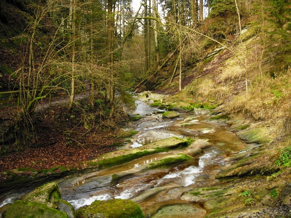
Wir starten die Wanderung in Weiler/Allg. bei der Schule. Vorbei an der Pestkapelle kommen wir in die Hausbachklamm. Weiter gehts nun auf dem Maximiliansweg nach Rieder und Simmerberg. Nun gehen wir oberhalb von den Skiliften zum Aussichtspunkt Oberberg (900m). Von hier kann man die gesamte Nagelfluhkette und Schweizer Berge Säntis und Altmann sehen. Weiter gehts nun talwärts zurück zur Hausbachklamm nach Weiler.
Einkehrmöglichkeiten gibts bei der Tour in Weiler und Simmerberg.
Further information at
http://www.weiler-simmerberg.deTour gallery
Tour map and elevation profile
Minimum height 638 m
Maximum height 898 m
More about the tour author
|
|
Bockrider |
Comments

Auf B308 über Lindenberg nach Weiler. Kostenlose Parkmöglichkeit bei der Schule.
GPS tracks
Trackpoints-
GPX / Garmin Map Source (gpx) download
-
TCX / Garmin Training Center® (tcx) download
-
CRS / Garmin Training Center® (crs) download
-
Google Earth (kml) download
-
G7ToWin (g7t) download
-
TTQV (trk) download
-
Overlay (ovl) download
-
Fugawi (txt) download
-
Kompass (DAV) Track (tk) download
-
Track data sheet (pdf) download
-
Original file of the author (gpx) download
More about the tour author
|
|
Bockrider |
Add to my favorites
Remove from my favorites
Edit tags
Open track
My score
Rate