Login

Forgotten password?

Cookies have to be accepted!
Your browser's cookie functionality is disabled. Please enable this functionality.

Not a member yet?

Register now
Login

Available for registred users only

Log in to use this feature.

Forgotten password?

Cookies have to be accepted!
Your browser's cookie functionality is disabled. Please enable this functionality.

Not a member yet?

Register now
Filter
Categories
Advanced filters
  • Distance (km)
  • Height
Save filters Reset filter

TrackRank

QRCode

Technical data

Distance6,1 km Height165 m Way down40 m Duration00:00 h:m Date09.12.2014
Scores Author Landscape Fun factor Fitness Technique

Statistics

438 Views Scores 12 Downloads Average
Rate
  • Track data sheet
  • Directions
  • Downloads
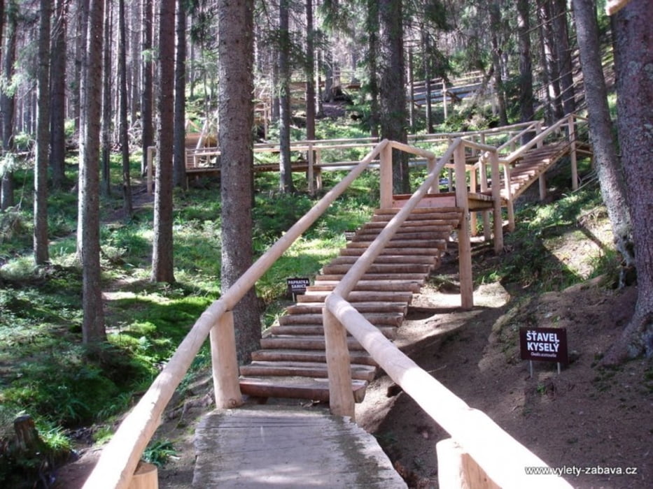
Výlet z Kvildy k prameni Vltavy a zpátky. Oblast výletu: Šumava, Česká republika.

Further information at

http://www.vylety-zabava.cz/tipy-na-vylet/sumava/75-kvilda-pramen-vltavy

Tour map and elevation profile

  • Open Street Map
  • Google
Minimum height 1043 m Maximum height 1195 m Detailed view

More about the tour author

vasatkoj
Member since 2014

Send private message

Comments

GPS tracks

Trackpoints
  • GPX / Garmin Map Source (gpx) download
  • TCX / Garmin Training Center® (tcx) download
  • CRS / Garmin Training Center® (crs) download
  • Google Earth (kml) download
  • G7ToWin (g7t) download
  • TTQV (trk) download
  • Overlay (ovl) download
  • Fugawi (txt) download
  • Kompass (DAV) Track (tk) download
  • Track data sheet (pdf) download
  • Original file of the author (gpx) download

More about the tour author

vasatkoj
Member since 2014

Send private message
Share track
Add to my favorites
Remove from my favorites
Edit tags
My score
Rate
Track: Kvilda - pramen Vltavy, Šumava
Type: Hiking
Distance: 6,1 km
Evaluated on:
Duration:
Day(s)
Hour(s)
Minute(s)
Score: Landscape Fun factor Fitness Technique