


Eine Tour für den Ausdauerbereich - kaum nennenswerte Steigungen, teilweise auf Nebenstraßen geführt.
An Llucmajor südlich vorbei gefahren, dann Richtung Campos. Vor Campos ca. bei KM 40 auf sehr schmalen teilwweise schlechter Asphalt, jedoch wenn man rechtzeitig die Schlaglöcher anzeigt kein Problem für die nachkommenden Fahrer.
In Campos kann man direkter durch die Stadt fahren (hier hab ich mich ein wenig verfahren)
Der Weg nach Felanitx führt durch größtenteils, vom Autoverkehr befahrene Straßen.
Felanitx nach Porreres führt über eine stärker befahrene Straße. Die Straße von Porreres nach Algaida ist eine alte Nebenstraße die als Radweg ausgeschildert ist und führt überhalb von Montuiri.
Von Algaida nach Llucmajor über eine schmale Straße (ausgeschilderter Radweg) und dann wieder entlang der Autobahn nach El Arenal.
Further information at
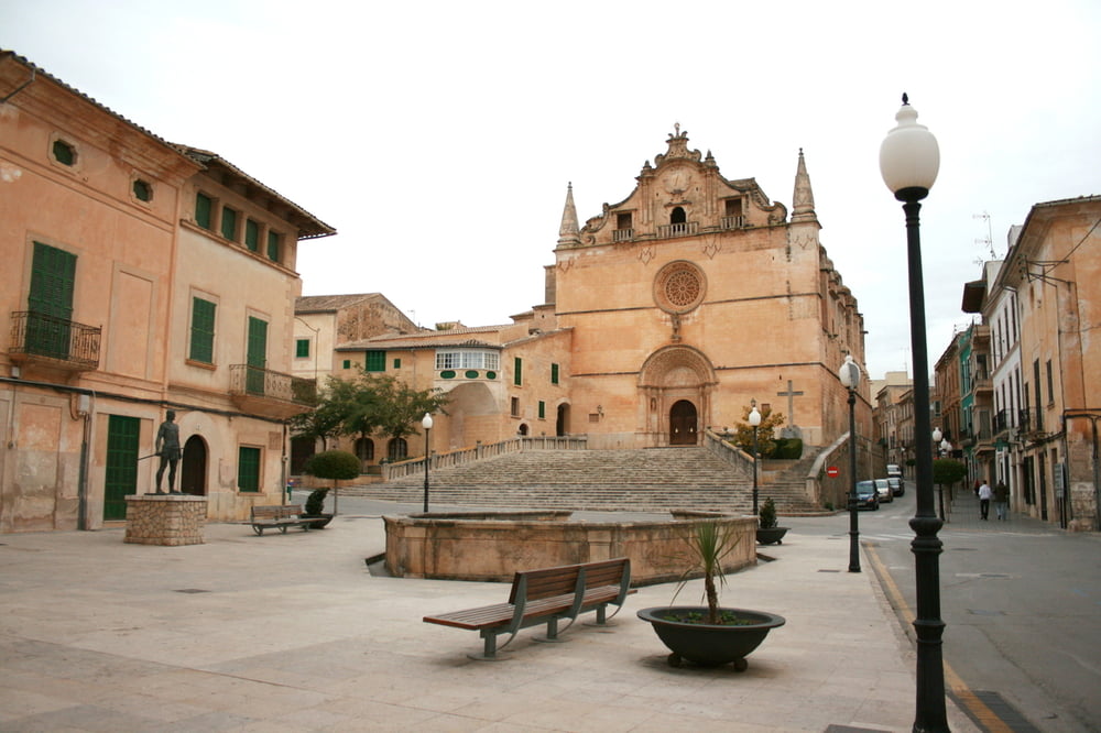
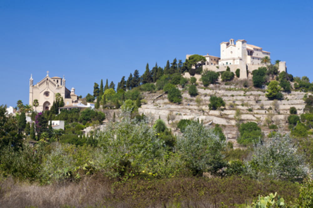
http://de.wikipedia.org/wiki/FelanitxTour gallery


Tour map and elevation profile
Minimum height 2 m
Maximum height 229 m
More about the tour author
|
|
der_Bergverfuehrer |
Comments

GPS tracks
Trackpoints-
GPX / Garmin Map Source (gpx) download
-
TCX / Garmin Training Center® (tcx) download
-
CRS / Garmin Training Center® (crs) download
-
Google Earth (kml) download
-
G7ToWin (g7t) download
-
TTQV (trk) download
-
Overlay (ovl) download
-
Fugawi (txt) download
-
Kompass (DAV) Track (tk) download
-
Track data sheet (pdf) download
-
Original file of the author (gpx) download
More about the tour author
|
|
der_Bergverfuehrer |
Add to my favorites
Remove from my favorites
Edit tags
Open track
My score
Rate