


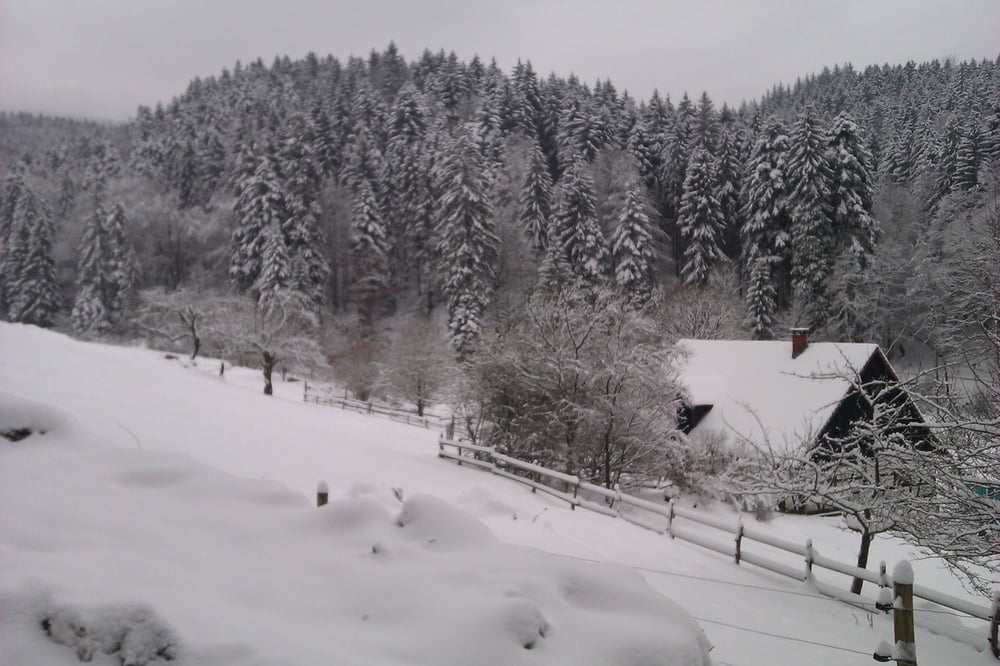
Schnee bis ins Tal, ideal für eine schöne Skitour auf die Badener Höhe.
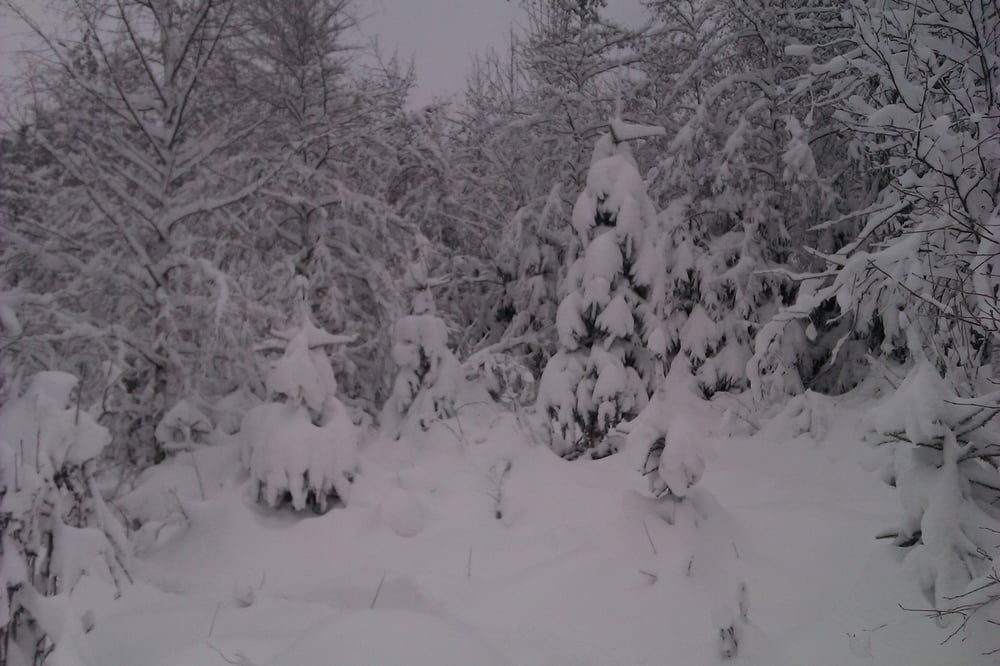
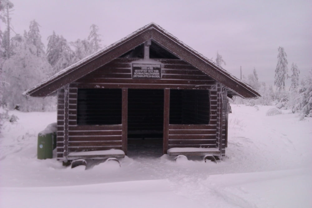
Startpunkt ist der Waldparkplatz Bütthof (Wasserfallstraße). Von dort in Richtung Scherrhof, vorbei an der Hütte "Neuhaus". Das Harzbachtal weiter in Richtung Bersteinweg. Nun geht es quer durch den Wald, ich legte die erste Spur. Am Badener Sattel angekommen sind es noch 100 Höhenmeter, wieder querfeldein, der Schnee ist ausreichend tief!
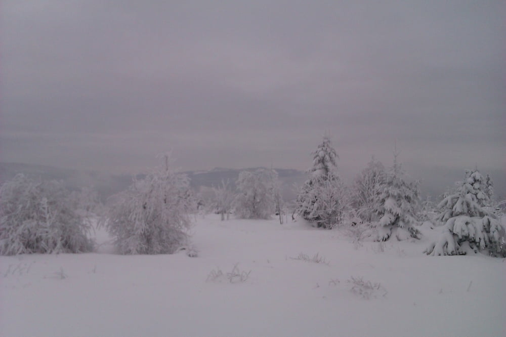
Die Abfahrt über den Herrenwieser Sattel, Mittelfeldhütte und das Urbachtal in Richtung Wasserfallstraße.
Insgesamt eine sehr schöne, einsame Skitour mit eine Abfahrt von immerhin 7.4 km!
Tour gallery
Tour map and elevation profile
Minimum height 350 m
Maximum height 1005 m
More about the tour author

|
thheinz |
Comments

GPS tracks
Trackpoints-
GPX / Garmin Map Source (gpx) download
-
TCX / Garmin Training Center® (tcx) download
-
CRS / Garmin Training Center® (crs) download
-
Google Earth (kml) download
-
G7ToWin (g7t) download
-
TTQV (trk) download
-
Overlay (ovl) download
-
Fugawi (txt) download
-
Kompass (DAV) Track (tk) download
-
Track data sheet (pdf) download
-
Original file of the author (gpx) download
More about the tour author
|
|
thheinz |
Add to my favorites
Remove from my favorites
Edit tags
Open track
My score
Rate