Login

Forgot your login?

Cookies have to be accepted!
Your browser's cookie functionality is disabled. Please enable this functionality.

Not a member yet?

Register now
Login

Available for registred users only

Log in to use this feature.

Forgot your login?

Cookies have to be accepted!
Your browser's cookie functionality is disabled. Please enable this functionality.

Not a member yet?

Register now
Filter
Categories
Advanced filters
  • Distance (km)
  • Height
Save filters Reset filter

TrackRank

QRCode

Technical data

Distance19,7 km Height801 m Way down803 m Duration05:30 h:m Date03.01.2015
Scores Author Landscape Fun factor Fitness Technique

Statistics

273 Views Scores 11 Downloads Average
Rate
  • Track data sheet
  • Directions
  • Downloads
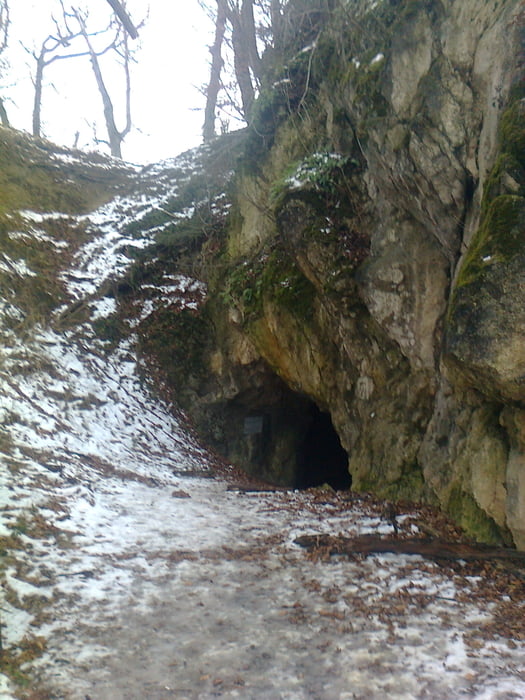
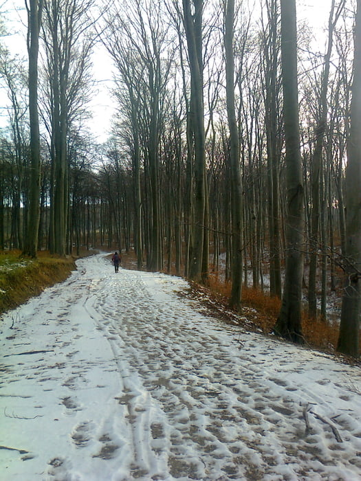
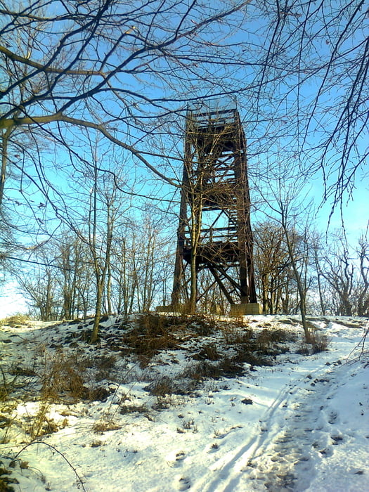
 A Téli Bakony 20 teljesítménytúra Bakonybélből a Likas-kő felé kanyarodik,majd a Várhegy,Gerence-völgy,Odvas-kő érintésével jutunk el a Kőris-hegy tetejére.Innen a Százhalmon keresztül a Pörgöl barlang előtt elhaladva jutunk visza Bakonybélbe.

Tour gallery

Tour map and elevation profile

  • Open Street Map
  • Google
Minimum height 230 m Maximum height 721 m Detailed view

More about the tour author

frontera74
Member since 2011

Send private message

Comments

Busz Pápáról és Zircről.

GPS tracks

Trackpoints
  • GPX / Garmin Map Source (gpx) download
  • TCX / Garmin Training Center® (tcx) download
  • CRS / Garmin Training Center® (crs) download
  • Google Earth (kml) download
  • G7ToWin (g7t) download
  • TTQV (trk) download
  • Overlay (ovl) download
  • Fugawi (txt) download
  • Kompass (DAV) Track (tk) download
  • Track data sheet (pdf) download
  • Original file of the author (gpx) download

More about the tour author

frontera74
Member since 2011

Send private message
Share track
Add to my favorites
Remove from my favorites
Edit tags
My score
Rate
Track: Téli Bakony 20
Type: Hiking
Distance: 19,7 km
Evaluated on:
Duration:
Day(s)
Hour(s)
Minute(s)
Score: Landscape Fun factor Fitness Technique