


Wir sind hier im Wesentlichen die Tour von GPS-Tour-Info Mitglied "Klinker" (http://www.gps-tour.info/de/touren/detail.7775.html) nachgefahren.
Daher verweisen wir an dieser Stelle auf seine Tourenbeschreibung.
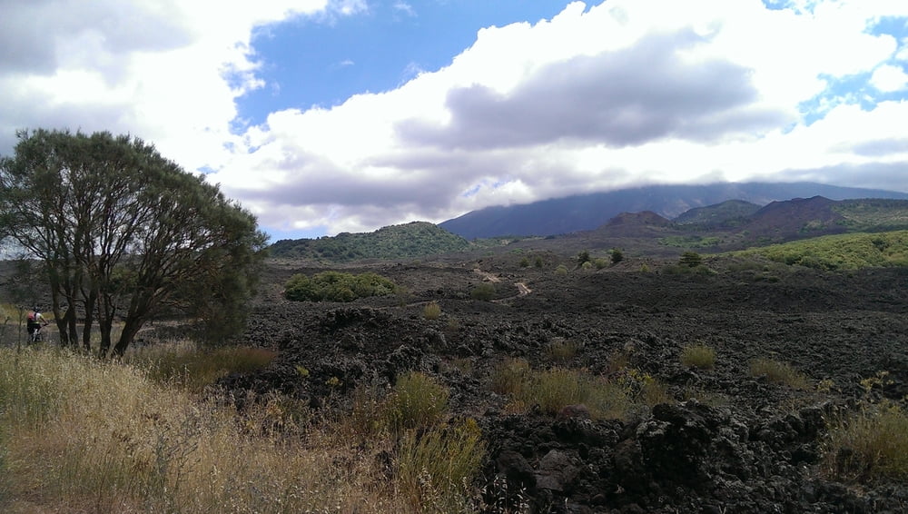
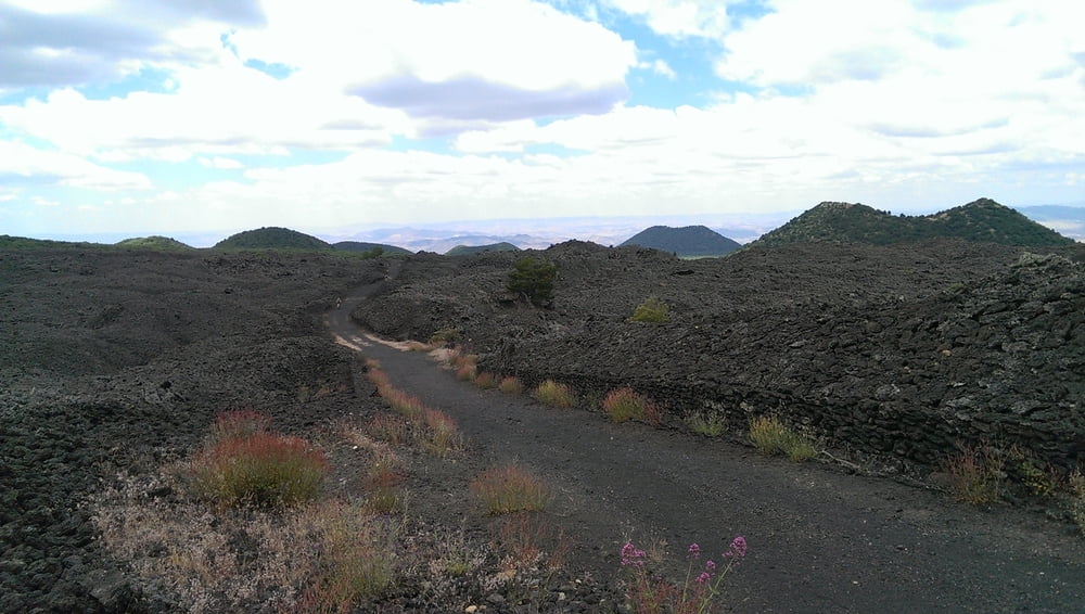
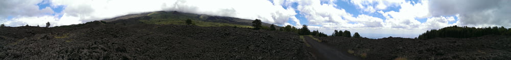
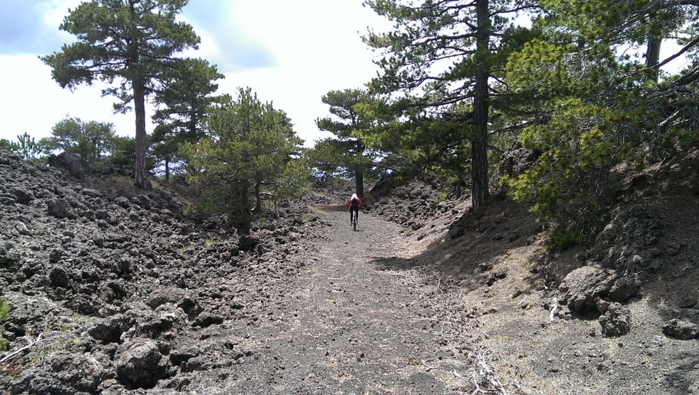
Es war ein besonderes Erlebnis bergauf und bergab auf Lavasand zu fahren!
Tolle Landschaft!
Further information at
http://ferienhaussizilien.de/Tour gallery
Tour map and elevation profile
Minimum height 852 m
Maximum height 1871 m
More about the tour author

|
RobbiTob |
Comments

Anfahrt mit dem PKW von Rodi nach Bronte. Wir sind nicht über die Autobahn, sondern auf direktem Weg über die SS185 und SP1 nach Moio Alcantara und von dort nach Bronte gefahren.
Hierfür ausreichend Zeit einplanen!
Die Straßen sind teilweise herausfordernd, speziell im Dunklen. Aber: Ein Muss für Freunde kurvenreicher Strecken!
GPS tracks
Trackpoints-
GPX / Garmin Map Source (gpx) download
-
TCX / Garmin Training Center® (tcx) download
-
CRS / Garmin Training Center® (crs) download
-
Google Earth (kml) download
-
G7ToWin (g7t) download
-
TTQV (trk) download
-
Overlay (ovl) download
-
Fugawi (txt) download
-
Kompass (DAV) Track (tk) download
-
Track data sheet (pdf) download
-
Original file of the author (gpx) download
More about the tour author
|
|
RobbiTob |
Add to my favorites
Remove from my favorites
Edit tags
Open track
My score
Rate