Login

Forgot your login?

Cookies have to be accepted!
Your browser's cookie functionality is disabled. Please enable this functionality.

Not a member yet?

Register now
Login

Available for registred users only

Log in to use this feature.

Forgot your login?

Cookies have to be accepted!
Your browser's cookie functionality is disabled. Please enable this functionality.

Not a member yet?

Register now
Filter
Categories
Advanced filters
  • Distance (km)
  • Height
Save filters Reset filter

TrackRank

QRCode

Technical data

Distance7,9 km Height247 m Way down206 m Duration04:00 h:m Date21.01.2015
Scores Author Landscape Fun factor Fitness Technique

Statistics

87 Views Scores 10 Downloads Average
Rate
  • Track data sheet
  • Directions
  • Downloads
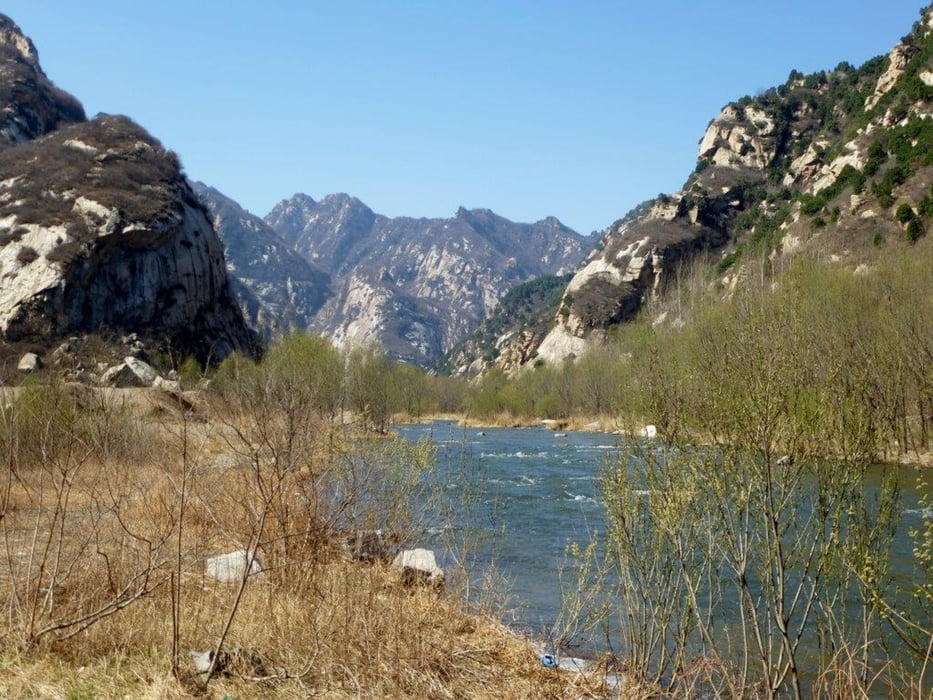
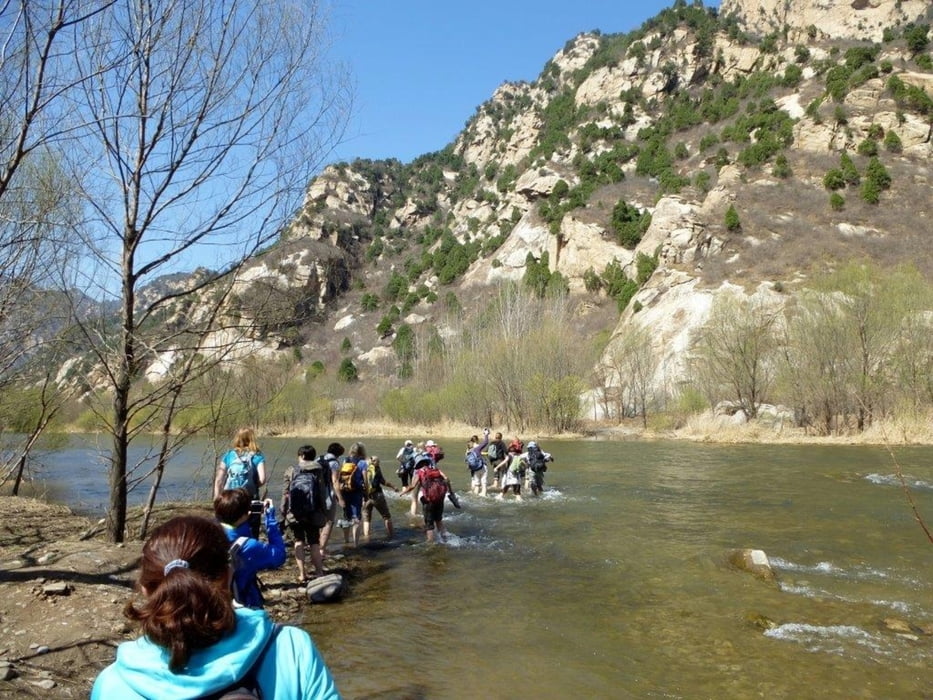
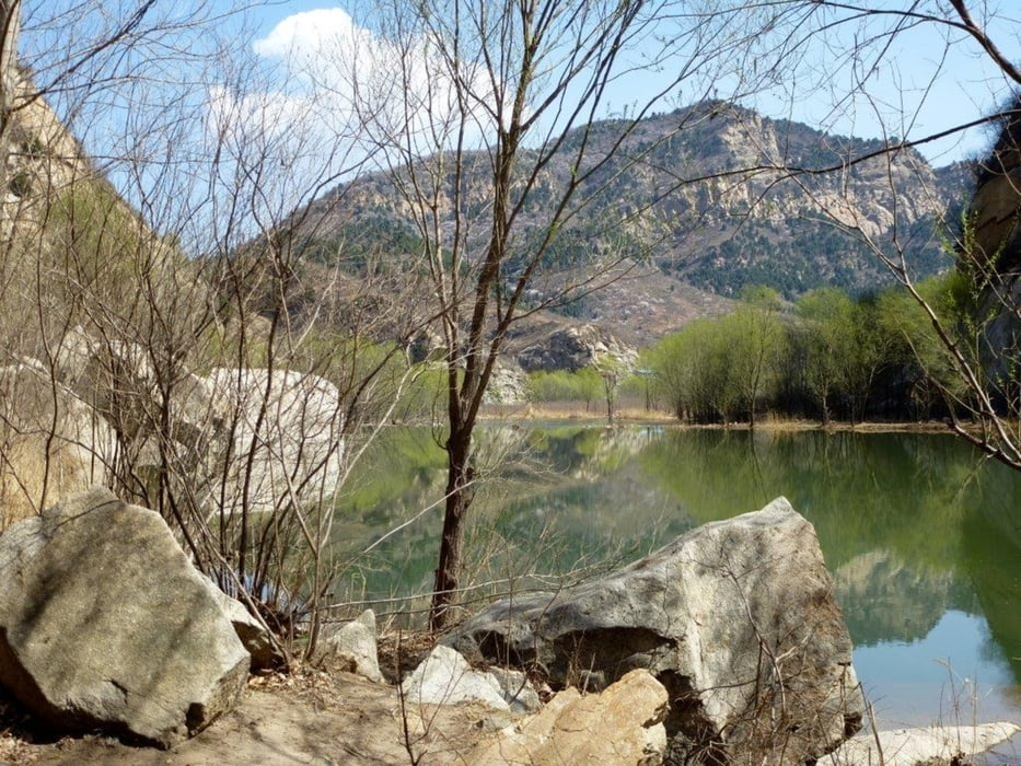
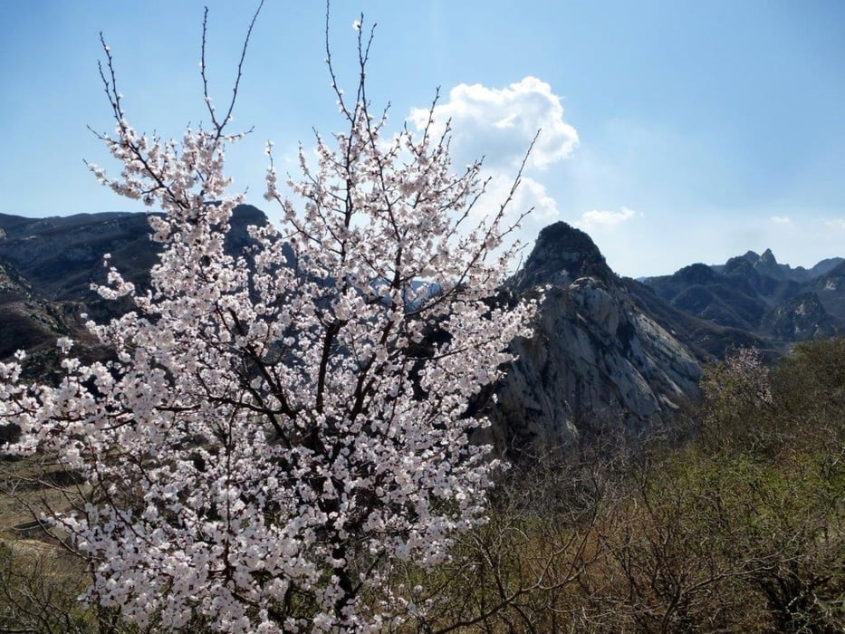
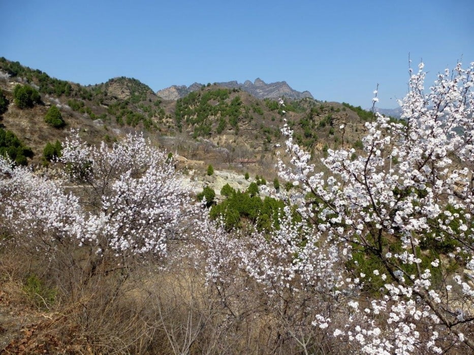
Die Wanderung beginnt im Dorf. Es ist ein Eintritt für diese Gegend zu zahlen. In einem der Häuser gibt es einen Wächter. Von dort geht es über eine Autobrücke auf das andere Ufer. Rechts schräg zurück zum Ufer. Am Ufer entlang gegen den Strohm. Nach 1.6 Km kommt eine Furt. Im April war das Wasser Hüfthoch. Also Hose und Schuhe aus und durch. Man kann sich auch mit extra Schuhe und Stock vorbereiten. Die Steine im Wasser sind nicht scharfkantig. Auf der anderen Uferseite geht es mit dem Strohm am Ufer entlang. Durch eine kleine Höhle die auch als Filmkulisse gedient hatte. Über verschiedene Stege führt eine Treppe hinauf auf 390 m. Bis zur höchsten Erhebung von 406 m sind es dann noch 800 m zu wandern. Hier sind auch einige Filmkulissen zu entdecken. Die Aussicht ist top. Über ein Nachbartal führt ein Weg zum Dorf zurück. An einer Stelle ist ein Gittertor das oft verschlossen ist. Für einen Wanderer ist das kein Hindernis.

Tour gallery

Tour map and elevation profile

  • Open Street Map
  • Google
Minimum height 183 m Maximum height 408 m Detailed view

More about the tour author

Hastati
Member since 2015

Send private message

Comments

Auto mit Fahrer mieten.


GPS tracks

Trackpoints
  • GPX / Garmin Map Source (gpx) download
  • TCX / Garmin Training Center® (tcx) download
  • CRS / Garmin Training Center® (crs) download
  • Google Earth (kml) download
  • G7ToWin (g7t) download
  • TTQV (trk) download
  • Overlay (ovl) download
  • Fugawi (txt) download
  • Kompass (DAV) Track (tk) download
  • Track data sheet (pdf) download
  • Original file of the author (gpx) download

More about the tour author

Hastati
Member since 2015

Send private message
Share track
Add to my favorites
Remove from my favorites
Edit tags
My score
Rate
Track: Long Yuan Shan Rundweg
Type: Hiking
Distance: 7,9 km
Evaluated on:
Duration:
Day(s)
Hour(s)
Minute(s)
Score: Landscape Fun factor Fitness Technique