
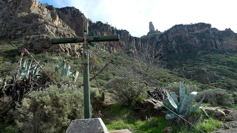

Von der Haarnadelkurve, unterhalb vom Ort Tejeda, gehen wir hinunter zum Barranco de Tejeda und folgen diesem bis zum ersten Hinweisschild Cruz de Timagada. Der Pfad führ nun 1,6 km Bergan bis wir die Plattform Cruz de Timagada erreichen.
Von hier folgen wir der Beschilderung La Culata. Zuerst verläuft der Weg im ständigen Wechsel auf und ab. Nach der Richtungsänderung Richtung SO fällt der Weg zuerst leicht dann immer steiler zum Ort La Culata hin.
Mit dem erreichen des Ortes führt der Weg zunächst ca. 1km über eine asphaltiere Straße. Nun führt die Beschilderung nach links abwärts in den Barranco hinein. Mit dem erreichen eines kleinen Wasserfall sind es nur noch wenige Meter bis zum Ausgangspunkt.
Tour gallery
Tour map and elevation profile
Minimum height 945 m
Maximum height 1598 m
More about the tour author
|
|
schleidy |
Comments

GPS tracks
Trackpoints-
GPX / Garmin Map Source (gpx) download
-
TCX / Garmin Training Center® (tcx) download
-
CRS / Garmin Training Center® (crs) download
-
Google Earth (kml) download
-
G7ToWin (g7t) download
-
TTQV (trk) download
-
Overlay (ovl) download
-
Fugawi (txt) download
-
Kompass (DAV) Track (tk) download
-
Track data sheet (pdf) download
-
Original file of the author (gpx) download
More about the tour author
|
|
schleidy |
Add to my favorites
Remove from my favorites
Edit tags
Open track
My score
Rate