Login

Forgot your login?

Cookies have to be accepted!
Your browser's cookie functionality is disabled. Please enable this functionality.

Not a member yet?

Register now
Login

Available for registred users only

Log in to use this feature.

Forgot your login?

Cookies have to be accepted!
Your browser's cookie functionality is disabled. Please enable this functionality.

Not a member yet?

Register now
Filter
Categories
Advanced filters
  • Distance (km)
  • Height
Save filters Reset filter

TrackRank

QRCode

Technical data

Distance7,1 km Height300 m Way down653 m Duration01:30 h:m Date01.02.2015
Scores Author Landscape Fun factor Fitness Technique

Statistics

2932 Views Scores 80 Downloads Average
Rate
  • Track data sheet
  • Directions
  • Downloads

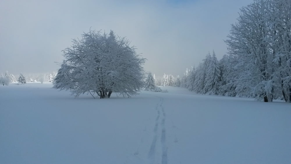
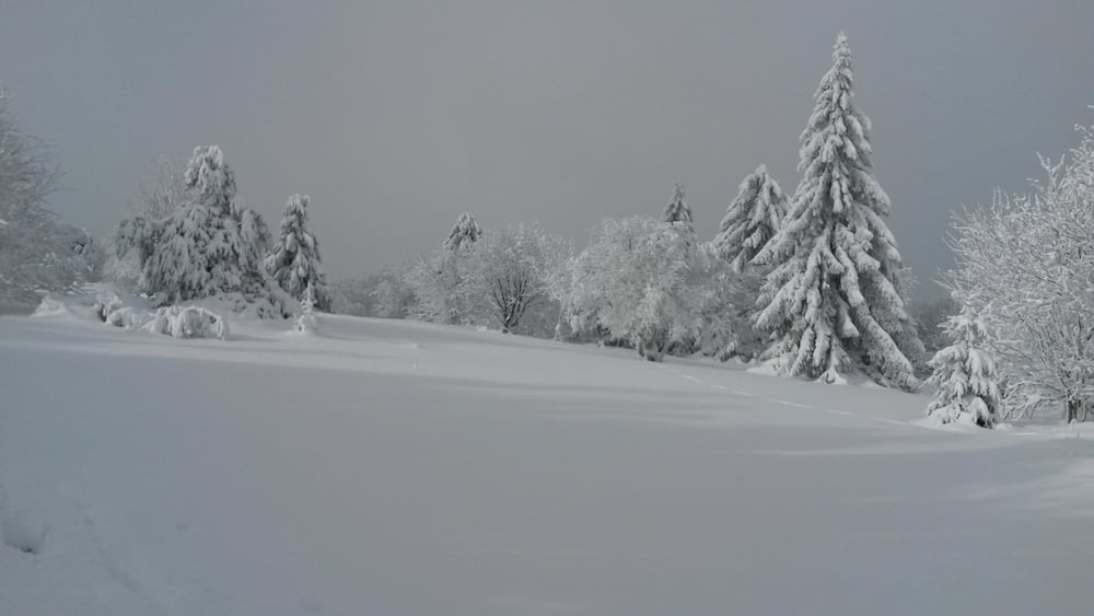
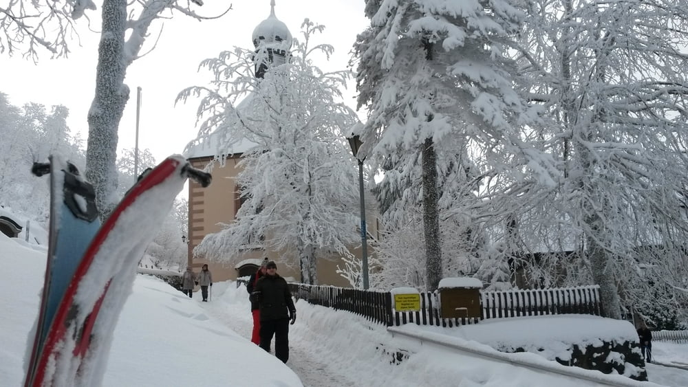
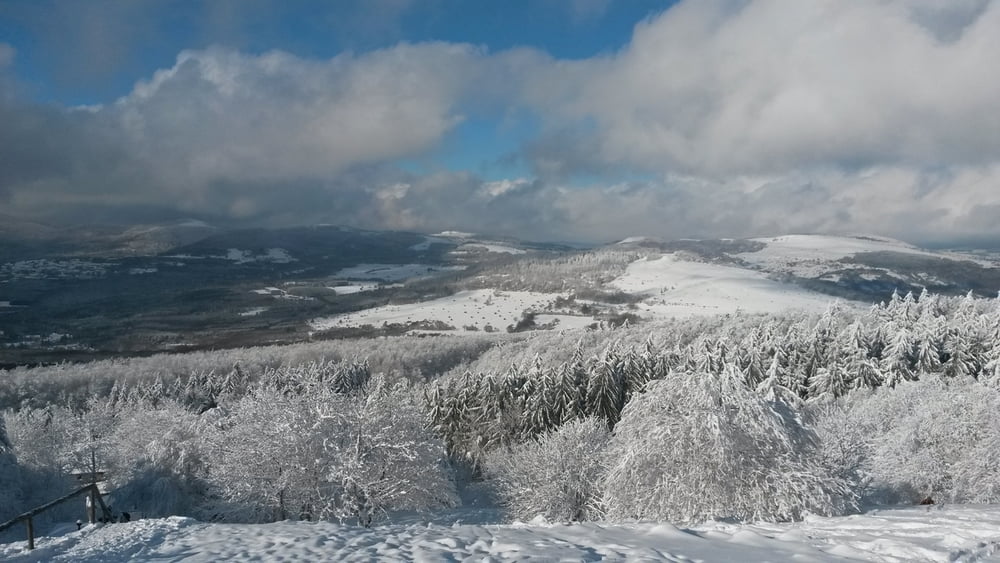
Kleine Skitour in der Fränkischen Rhön!

Gibt mehrer Möglichkeiten zum Einkehren entlang der Route.


Tour gallery

Tour map and elevation profile

  • Open Street Map
  • Google
Minimum height 562 m Maximum height 1095 m Detailed view

More about the tour author

Stony1974
Member since 2014

Send private message

Comments

Bis nach Haselbach zum Drei Tannen Lift fahren von dort Starten!


GPS tracks

Trackpoints
  • GPX / Garmin Map Source (gpx) download
  • TCX / Garmin Training Center® (tcx) download
  • CRS / Garmin Training Center® (crs) download
  • Google Earth (kml) download
  • G7ToWin (g7t) download
  • TTQV (trk) download
  • Overlay (ovl) download
  • Fugawi (txt) download
  • Kompass (DAV) Track (tk) download
  • Track data sheet (pdf) download
  • Original file of the author (gpx) download

More about the tour author

Stony1974
Member since 2014

Send private message
Share track
Add to my favorites
Remove from my favorites
Edit tags
My score
Rate
Track: Kreuzberg
Type: Ski touring
Distance: 7,1 km
Evaluated on:
Duration:
Day(s)
Hour(s)
Minute(s)
Score: Landscape Fun factor Fitness Technique