


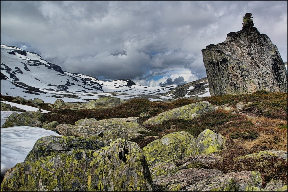
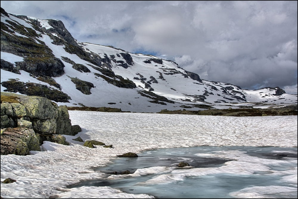
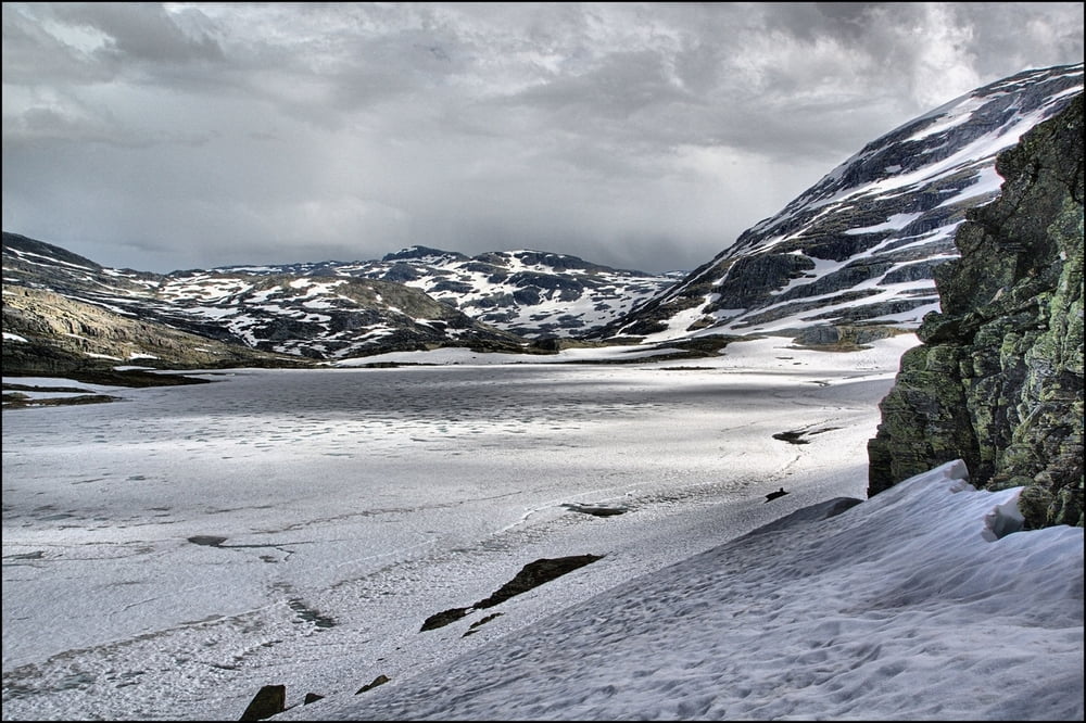
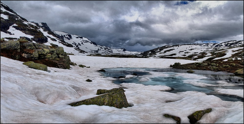
Vom Parkplatz gehen wir ein Stück zurück. Der Beginn ist nicht markiert, nur als sehr schmaler Pfand erkennbar. Der Weg führt steil bergan und wir erreichen einen Weg, den wir weiter folgen. Ab hier ist der Weg mit Steinmännchen gekennzeichnet. Im weiteren Verlauf folgen wir links den Flussverlauf, den wir später noch überqueren. Am Ende erfolgt dann ein Anstieg zu einer Passhöhe, von der wir einen Blick auf den Isvatnet haben.
Tour gallery
Tour map and elevation profile
Minimum height 724 m
Maximum height 1284 m
More about the tour author
|
|
Empe53 |
Comments

Anfahrt von der E134 Abzweig Valldalen. Von hier 16 km, davon 10km Schotterpiste zu einem Parkplatz.
GPS tracks
Trackpoints-
GPX / Garmin Map Source (gpx) download
-
TCX / Garmin Training Center® (tcx) download
-
CRS / Garmin Training Center® (crs) download
-
Google Earth (kml) download
-
G7ToWin (g7t) download
-
TTQV (trk) download
-
Overlay (ovl) download
-
Fugawi (txt) download
-
Kompass (DAV) Track (tk) download
-
Track data sheet (pdf) download
-
Original file of the author (gpx) download
More about the tour author
|
|
Empe53 |
Add to my favorites
Remove from my favorites
Edit tags
Open track
My score
Rate