Login

Forgotten password?

Cookies have to be accepted!
Your browser's cookie functionality is disabled. Please enable this functionality.

Not a member yet?

Register now
Login

Available for registred users only

Log in to use this feature.

Forgotten password?

Cookies have to be accepted!
Your browser's cookie functionality is disabled. Please enable this functionality.

Not a member yet?

Register now
Filter
Categories
Advanced filters
  • Distance (km)
  • Height
Save filters Reset filter

TrackRank

QRCode

Technical data

Distance3,3 km Height194 m Way down204 m Duration01:30 h:m Date16.03.2015
Scores Author Landscape Fun factor Fitness Technique

Statistics

183 Views Scores 9 Downloads Average
Rate
  • Track data sheet
  • Directions
  • Downloads
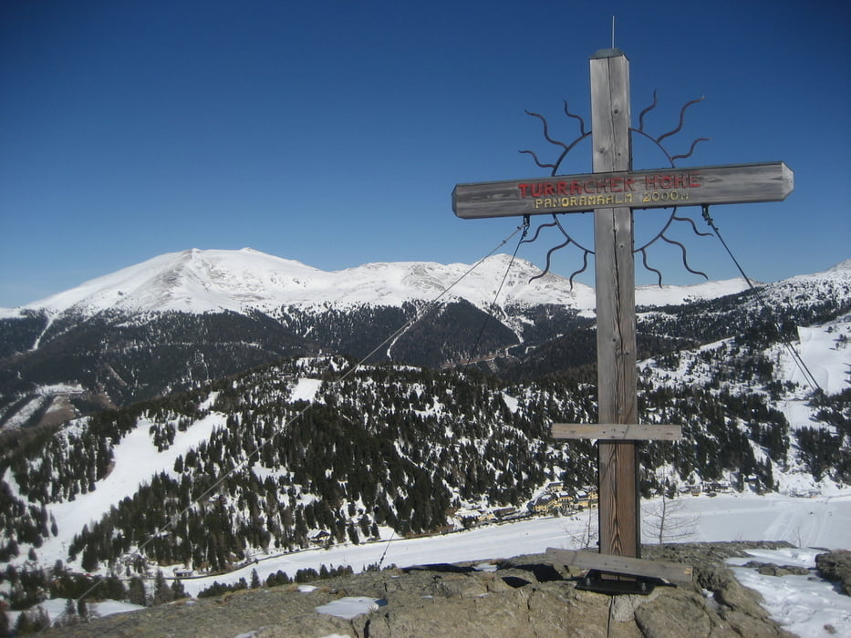
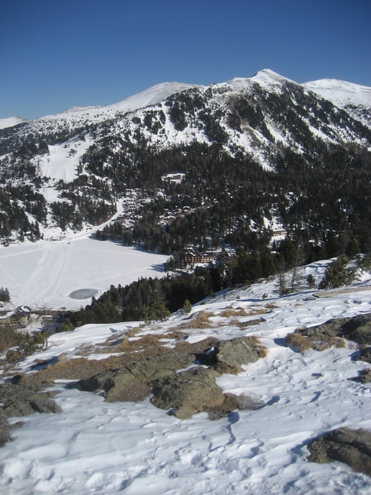
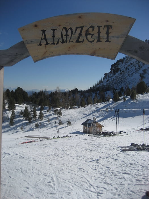
Schöne Wanderung, wenn man einfach mal eine schnelle Runde drehen möchte. Wunderschöne Ausblicke und nette Einkehr auf der Almzeit-Hütte inklusive.

Tour gallery

Tour map and elevation profile

  • Open Street Map
  • Google
Minimum height 1781 m Maximum height 1985 m Detailed view

More about the tour author

sstraesser
Member since 2012

Send private message

Comments

GPS tracks

Trackpoints
  • GPX / Garmin Map Source (gpx) download
  • TCX / Garmin Training Center® (tcx) download
  • CRS / Garmin Training Center® (crs) download
  • Google Earth (kml) download
  • G7ToWin (g7t) download
  • TTQV (trk) download
  • Overlay (ovl) download
  • Fugawi (txt) download
  • Kompass (DAV) Track (tk) download
  • Track data sheet (pdf) download
  • Original file of the author (gpx) download

More about the tour author

sstraesser
Member since 2012

Send private message
Share track
Add to my favorites
Remove from my favorites
Edit tags
My score
Rate
Track: Schneewanderung zur Almzeit-Hütte
Type: Hiking
Distance: 3,3 km
Evaluated on:
Duration:
Day(s)
Hour(s)
Minute(s)
Score: Landscape Fun factor Fitness Technique