Login

Forgot your login?

Cookies have to be accepted!
Your browser's cookie functionality is disabled. Please enable this functionality.

Not a member yet?

Register now
Login

Available for registred users only

Log in to use this feature.

Forgot your login?

Cookies have to be accepted!
Your browser's cookie functionality is disabled. Please enable this functionality.

Not a member yet?

Register now
Filter
Categories
Advanced filters
  • Distance (km)
  • Height
Save filters Reset filter

TrackRank

QRCode

Technical data

Distance5,4 km Height122 m Way down232 m Duration04:00 h:m Date29.03.2015
Scores Author Landscape Fun factor Fitness Technique

Statistics

659 Views Scores 87 Downloads Average
Rate
  • Track data sheet
  • Directions
  • Downloads

Von der Kirche bei Cabo den Wanderweg nach Lombada velha über Serrado und Pedregal nach Farol. Einkehrmöglichkeit kurz vor Farol in der dortigen Gaststätte (gutes Essen).

Der Track ist nur in einer Richtung aufgezeichnet. Rückweg auf gleicher Tour.
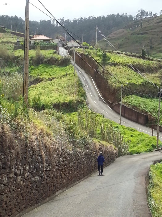
 

Tour gallery

Tour map and elevation profile

  • Open Street Map
  • Google
Minimum height 376 m Maximum height 501 m Detailed view

More about the tour author

ultra
Member since 2010

Send private message

Comments

Gute Parkmöglichkeit bei der Kirche (kostenlos).


GPS tracks

Trackpoints
  • GPX / Garmin Map Source (gpx) download
  • TCX / Garmin Training Center® (tcx) download
  • CRS / Garmin Training Center® (crs) download
  • Google Earth (kml) download
  • G7ToWin (g7t) download
  • TTQV (trk) download
  • Overlay (ovl) download
  • Fugawi (txt) download
  • Kompass (DAV) Track (tk) download
  • Track data sheet (pdf) download
  • Original file of the author (gpx) download

More about the tour author

ultra
Member since 2010

Send private message
Share track
Add to my favorites
Remove from my favorites
Edit tags
My score
Rate
Track: Madeira Küstenwanderung im Westen
Type: Hiking
Distance: 5,4 km
Evaluated on:
Duration:
Day(s)
Hour(s)
Minute(s)
Score: Landscape Fun factor Fitness Technique