


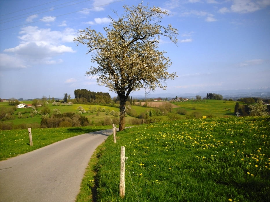
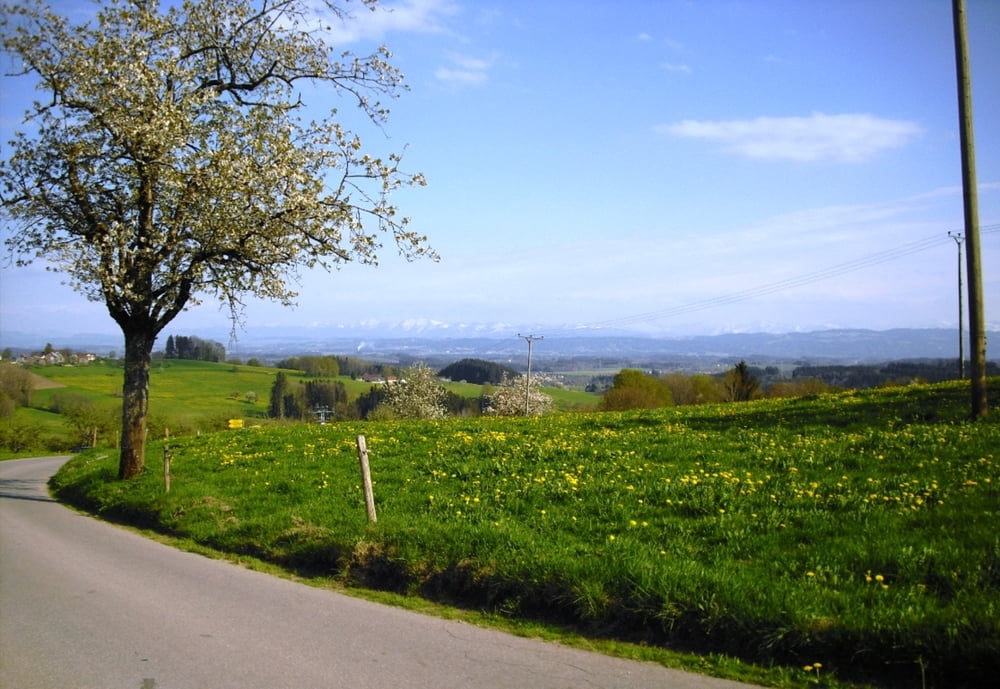
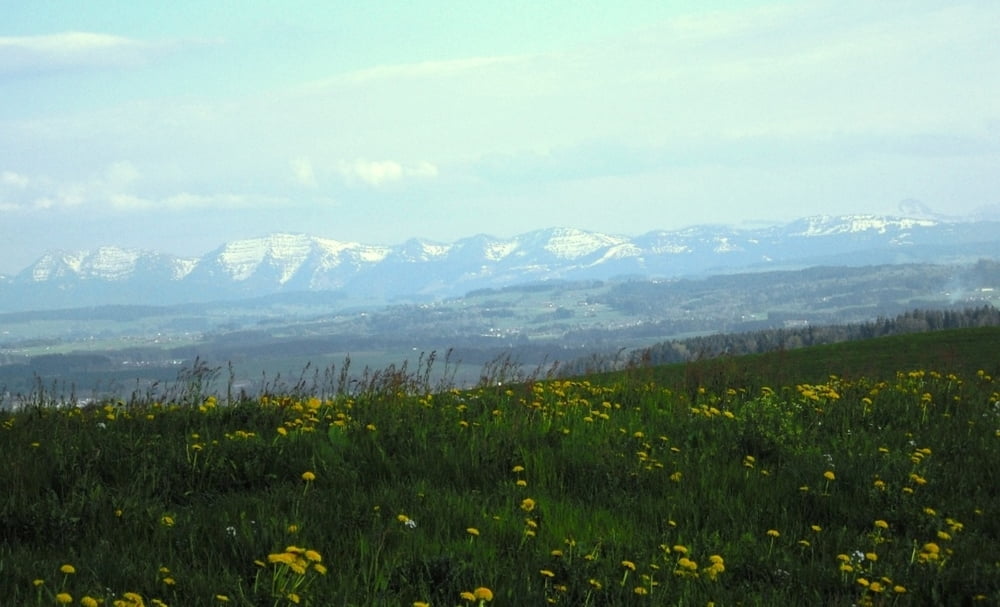
Rennradtour von Tettnang ins Allgäu. Die Tour ist ideal für Leute die auch ein paar Anstiege nicht scheuen und Freude am schönen Alpenpanorama finden. Es werden bevorzugt kleine Nebenwege mit wenig Verkehr gefahren. Von Tettnang, Obereisenbach, Bodnegg, Reibeisenmühle kommen wir zum "Kongo" Gasthaus Grüner Baum in Amtzell/Wieser. Weiter über Pfärrich, Niederwangen, Neuravensburg vorbei am Schloß Achberg gehts durchs Argental zurück.
Einkehrmöglichkeiten gibts neben der Kongowirtschaft mehrere an der Tour.
Further information at
http://www.gasthaus-gruener-baum.deTour gallery
Tour map and elevation profile
Minimum height 418 m
Maximum height 673 m
More about the tour author
|
|
Bockrider |
Comments

Tour startet in 88069 Tettnang am Wohnmobilstellplatz. Kann aber an jeder anderen Stelle der Tour gestartet werden,
GPS tracks
Trackpoints-
GPX / Garmin Map Source (gpx) download
-
TCX / Garmin Training Center® (tcx) download
-
CRS / Garmin Training Center® (crs) download
-
Google Earth (kml) download
-
G7ToWin (g7t) download
-
TTQV (trk) download
-
Overlay (ovl) download
-
Fugawi (txt) download
-
Kompass (DAV) Track (tk) download
-
Track data sheet (pdf) download
-
Original file of the author (gpx) download
More about the tour author
|
|
Bockrider |
Add to my favorites
Remove from my favorites
Edit tags
Open track
My score
Rate