
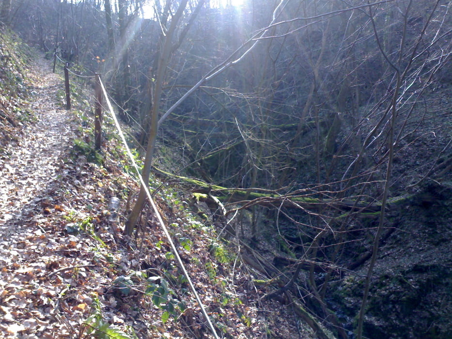

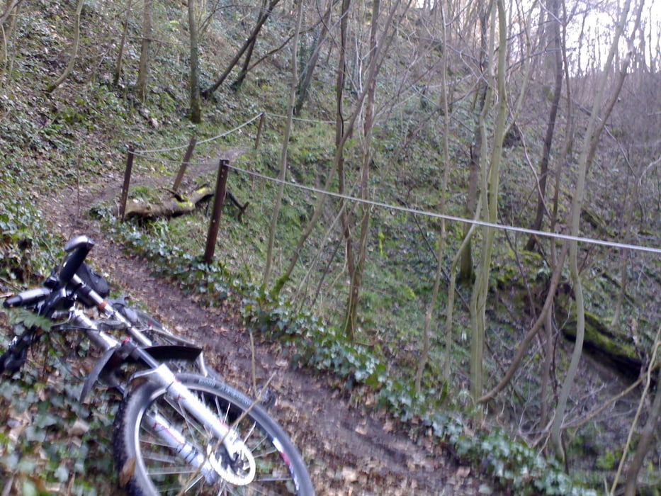
Diese Tour unbedingt in der Richtung von Frücht nach Miellen fahren, das wildromantische Schweizertal abwärts. Also zunächst zum Forsthaus, dann fährst du Richtung Frücht und dort ins Schweizertal einbiegen, ein schmales Tal an einem tief eingeschnittenen Bächlein lang. Die Uferseite ist meist durch ein Seil abgesichert. Auf dem schmalen Trail hast du alles, was das Herz begehrt, Felsplatten Wurzeln, Stufen – Fahrtechnik pur gefordert. Und dazu noch das wirklich Wildromantische des Bachlaufes und des Waldes. Da hat noch keine Kettensäge aufgeräumt, einfach wunderschön.
Tour gallery
Tour map and elevation profile
Minimum height 70 m
Maximum height 365 m
More about the tour author
|
|
berufsradler |
Comments

GPS tracks
Trackpoints-
GPX / Garmin Map Source (gpx) download
-
TCX / Garmin Training Center® (tcx) download
-
CRS / Garmin Training Center® (crs) download
-
Google Earth (kml) download
-
G7ToWin (g7t) download
-
TTQV (trk) download
-
Overlay (ovl) download
-
Fugawi (txt) download
-
Kompass (DAV) Track (tk) download
-
Track data sheet (pdf) download
-
Original file of the author (gpx) download
More about the tour author
|
|
berufsradler |
Add to my favorites
Remove from my favorites
Edit tags
Open track
My score
Rate