


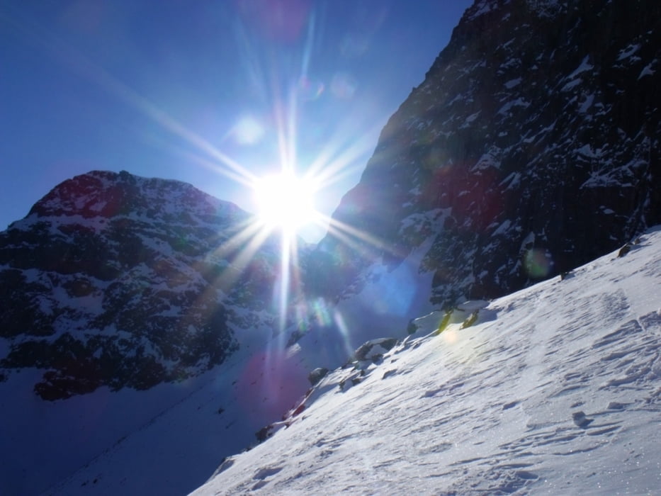
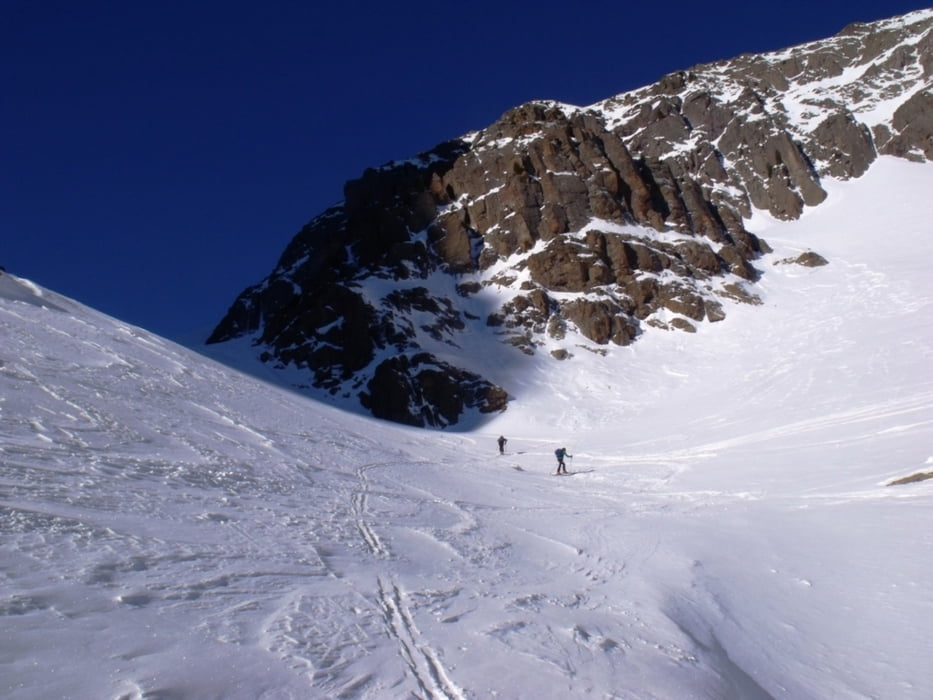
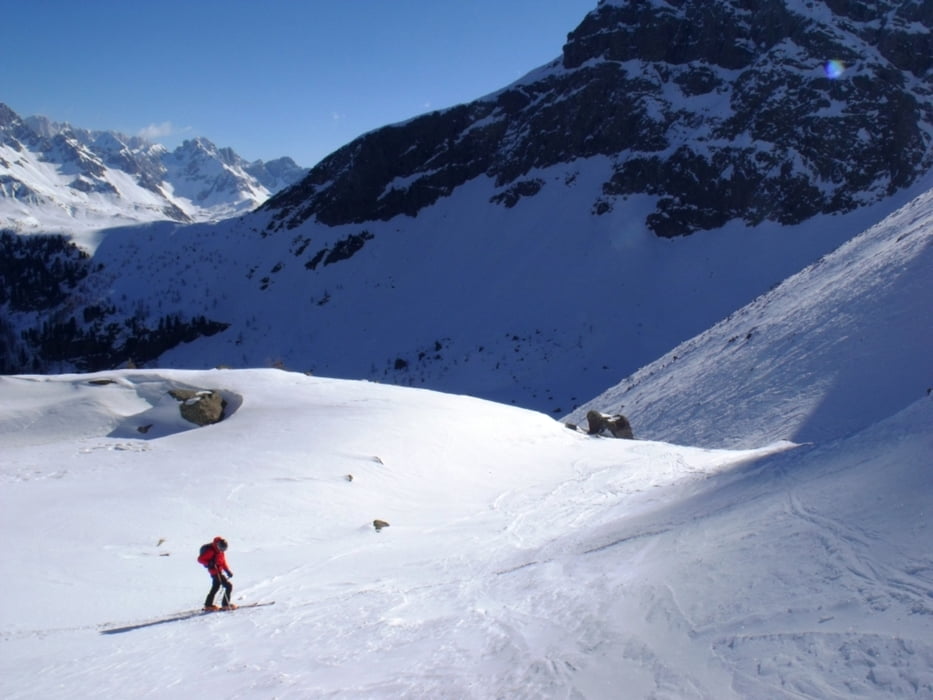
Si parte dal parcheggio del bar ristorante Negritella, il località Alochet (quota 1770 metri). Si sale verso il bosco seguendo la pista da fondo. Già dai primi passi si staglia davanti a noi la piramide del Cimon di Bocche. Si continua a salire puntando poi a destra. Si esce dal rado bosco e si punta a ovest in direzione della forcella che divide il tetro spallone del Cimon di Bocche dal Gronton. La salita non presenta particolari difficoltà. In caso do neve ghiacciata usare i rampant. Sulla sommità della forcella c'è un piccolo riparo. La discesa è per la stessa via. Fare attenzione nell'ultimo tratto di bosco.
Tour gallery
Tour map and elevation profile
Minimum height 1788 m
Maximum height 2597 m
More about the tour author
|
|
bonani |
Comments

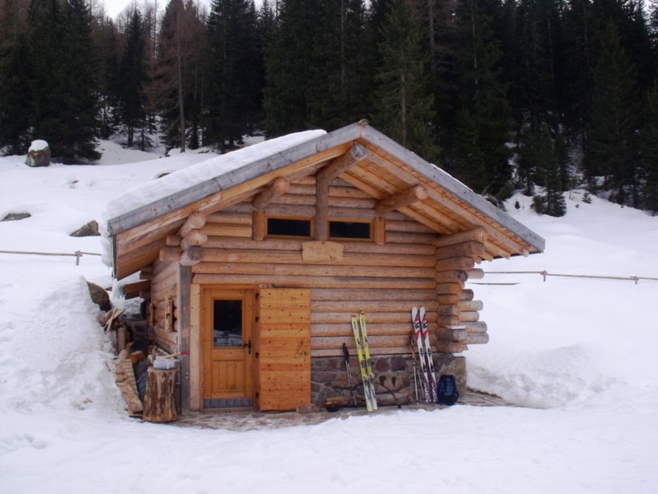
Raggiungere Moena attraverso la SS 48 delle Dolomiti. In prossimità del paese prendere la circonvallazione e proseguire a destra seguendo le indicazioni per Passo San Pellegrino (SS346). Percorrere la strada fino a raggiungere il Ristorante Negritella (1770m ) facilmente individuabile sulla destra in località Alochet.
GPS tracks
Trackpoints-
GPX / Garmin Map Source (gpx) download
-
TCX / Garmin Training Center® (tcx) download
-
CRS / Garmin Training Center® (crs) download
-
Google Earth (kml) download
-
G7ToWin (g7t) download
-
TTQV (trk) download
-
Overlay (ovl) download
-
Fugawi (txt) download
-
Kompass (DAV) Track (tk) download
-
Track data sheet (pdf) download
-
Original file of the author (gpx) download
More about the tour author
|
|
bonani |
Add to my favorites
Remove from my favorites
Edit tags
Open track
My score
Rate