


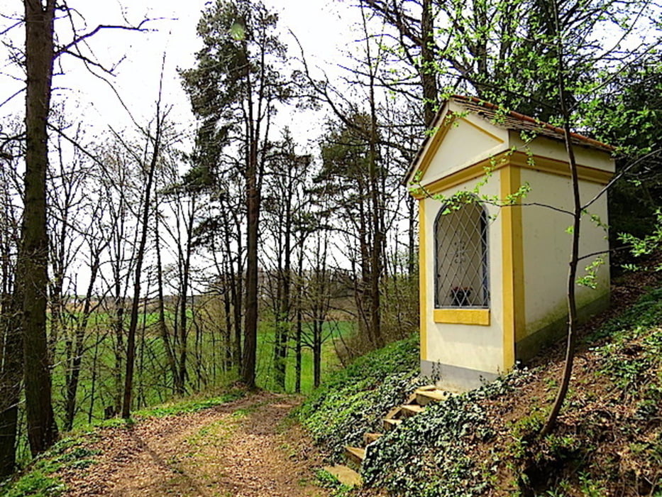
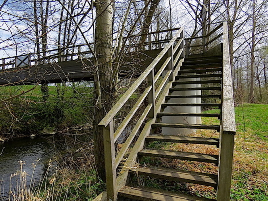
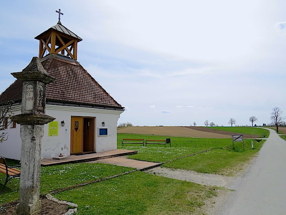
Zwischen Waidhofen/Thaya und Rafingsberg besteht schon lange eine spirituelle Verbindung in der Form eines Pilgerweges. Der Pilgerweg ist lange Zeit in Vergessenheit geraten und unpassierbar. Einige Kreuzwegstationen sind verfallen oder gar verschwunden. Ab dem Jahre 2000 werden die Kreuzwegstationen unter SR Josef FRANZ aus Waidhofen/Thaya restauriert und wenn nötig sogar wieder neu errichtet. Im Juni 2009 wird schließlich durch die Pioniere des Österreichischen Bundesheeres der zerstörte Kapuzinersteg neu errichtet. Ein durchgehendes Pilgern ist daher wieder möglich.
Der Kapuzinerkreuzweg mit der gelben Nummer 54 führt von Waidhofen/Thaya nach Rafingsberg. Wir wandern dann noch weiter bis Windigsteig. Zuvor sind wir mit dem Waldviertelbus WA14 von Windigsteig nach Waidhofen/Thaya gefahren.
Mehr Info und Deine Meinung in meinem Wanderblog - schau doch mal vorbei!
Karten:
• Austria Map Ost (BEV)
• ÖK25V 1:25.000, 4304 - Ost, Waidhofen an der Thaya
• ÖK25V 1:25.000, 4310 - Ost, Zwettl
Further information at
http://www.zwalk.at/kapuzinerkreuzweg-nach-maria-rafingsberg-1/Tour gallery
Tour map and elevation profile
Minimum height 482 m
Maximum height 532 m
More about the tour author
|
|
Jonny |
Comments

Per Auto
• westlich Linz, Freistadt, Gmünd, Schrems, Vitis, Waidhofen/Thaya
• östlich Wien, Horn, Göpfritz, Waidhofen/Thaya
• südlich Westautobahn A1 Abfahrt Ybbs, Würnsdorf, Ottenschlag, Zwettl, Vitis, Waidhofen/Thaya
GPS tracks
Trackpoints-
GPX / Garmin Map Source (gpx) download
-
TCX / Garmin Training Center® (tcx) download
-
CRS / Garmin Training Center® (crs) download
-
Google Earth (kml) download
-
G7ToWin (g7t) download
-
TTQV (trk) download
-
Overlay (ovl) download
-
Fugawi (txt) download
-
Kompass (DAV) Track (tk) download
-
Track data sheet (pdf) download
-
Original file of the author (gpx) download
More about the tour author
|
|
Jonny |
Add to my favorites
Remove from my favorites
Edit tags
Open track
My score
Rate