Login

Forgotten password?

Cookies have to be accepted!
Your browser's cookie functionality is disabled. Please enable this functionality.

Not a member yet?

Register now
Login

Available for registred users only

Log in to use this feature.

Forgotten password?

Cookies have to be accepted!
Your browser's cookie functionality is disabled. Please enable this functionality.

Not a member yet?

Register now
Filter
Categories
Advanced filters
  • Distance (km)
  • Height
Save filters Reset filter

TrackRank

QRCode

Technical data

Distance21,1 km Height345 m Way down343 m Duration02:00 h:m Date14.05.2015
Scores Author Landscape Fun factor Fitness Technique

Statistics

598 Views Scores 46 Downloads Average
Rate
  • Track data sheet
  • Directions
  • Downloads
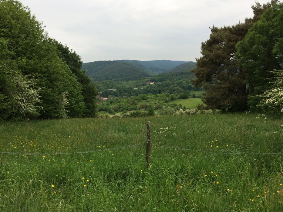
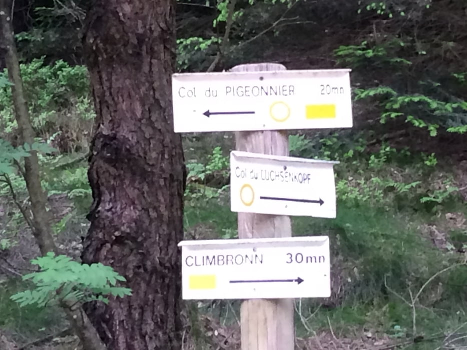
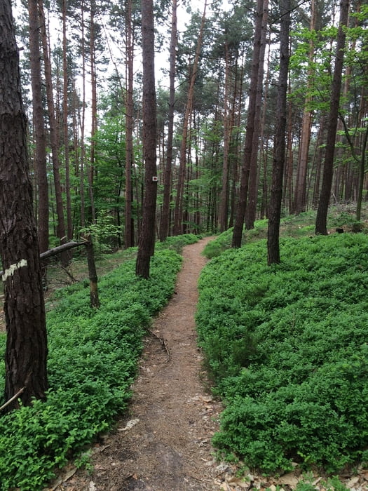
Eine sehr gemütliche Nachmittagsrunde von ca. 2h Fahrzeit. Wissembourg war unser Ausgangspunkte, eine sehr schöne Stadt im nördlichen Elsass. Von da aus der Lauter entlang in Richtung St. Germannshof bis wir dann irgendwann das Tal verlassen und links in Richtung Climbach gemütlich aber stetig den Berg hinaufradeln. In Climbach angekommen in Richtung Col de Pigeonnier und von da an geht der SingleTrail bis fast hinunter nach Wissembourg wieder zurück.

Tour gallery

Tour map and elevation profile

  • Open Street Map
  • Google
Minimum height 153 m Maximum height 426 m Detailed view

More about the tour author

thheinz
Member since 2014

Send private message

Comments

skyhopper11 on 18.10.2017

Tour

Super Runde, Dankeschön :-)

GPS tracks

Trackpoints
  • GPX / Garmin Map Source (gpx) download
  • TCX / Garmin Training Center® (tcx) download
  • CRS / Garmin Training Center® (crs) download
  • Google Earth (kml) download
  • G7ToWin (g7t) download
  • TTQV (trk) download
  • Overlay (ovl) download
  • Fugawi (txt) download
  • Kompass (DAV) Track (tk) download
  • Track data sheet (pdf) download
  • Original file of the author (gpx) download

More about the tour author

thheinz
Member since 2014

Send private message
Share track
Add to my favorites
Remove from my favorites
Edit tags
My score
Rate
Track: Wissembourg - Col de Pigeonnier
Type: Mountain bike
Distance: 21,1 km
Evaluated on:
Duration:
Day(s)
Hour(s)
Minute(s)
Score: Landscape Fun factor Fitness Technique