Login

Forgotten password?

Cookies have to be accepted!
Your browser's cookie functionality is disabled. Please enable this functionality.

Not a member yet?

Register now
Login

Available for registred users only

Log in to use this feature.

Forgotten password?

Cookies have to be accepted!
Your browser's cookie functionality is disabled. Please enable this functionality.

Not a member yet?

Register now
Filter
Categories
Advanced filters
  • Distance (km)
  • Height
Save filters Reset filter

TrackRank

QRCode

Technical data

Distance60,9 km Height799 m Way down790 m Duration04:20 h:m Date18.05.2015
Scores Author Landscape Fun factor Fitness Technique

Statistics

337 Views Scores 55 Downloads Average
Rate
  • Track data sheet
  • Directions
  • Downloads
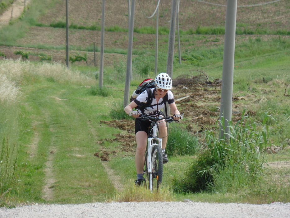
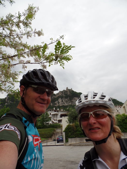
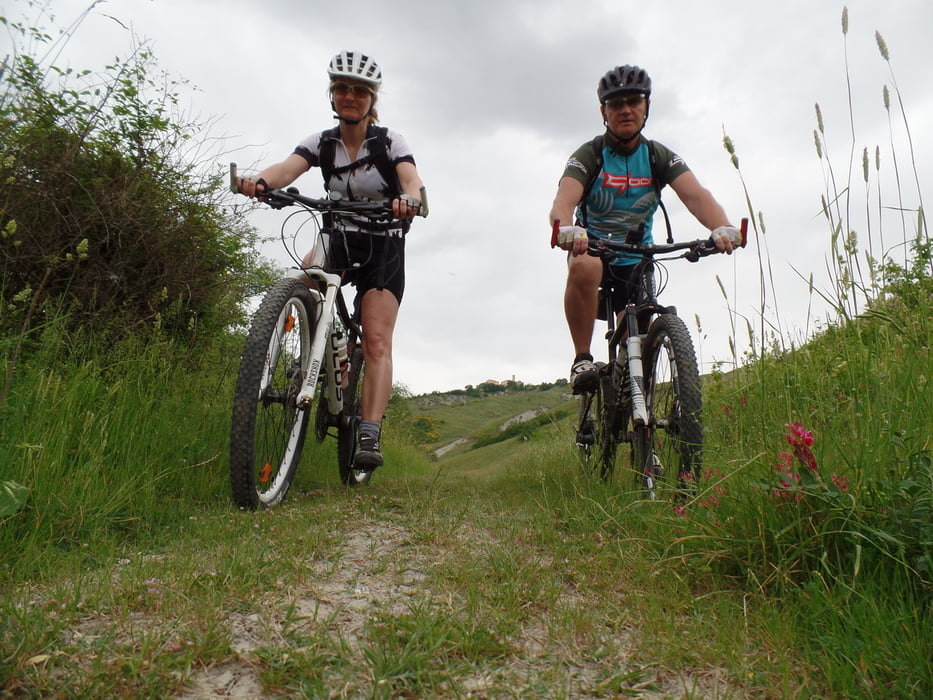
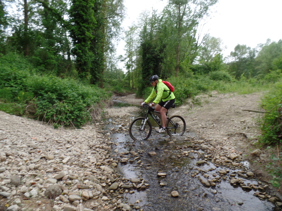
Die Tour führt von Rimini (Bellariva) bis vor San Marino (südöstlich).Es ist einiges auf Schotter zu fahren,mit kurzen Trails und saftigen kurzen Anstigen.

Tour gallery

Tour map and elevation profile

  • Open Street Map
  • Google
Minimum height 1 m Maximum height 523 m Detailed view

More about the tour author

plazo100
Member since 2009

Send private message

Comments

GPS tracks

Trackpoints
  • GPX / Garmin Map Source (gpx) download
  • TCX / Garmin Training Center® (tcx) download
  • CRS / Garmin Training Center® (crs) download
  • Google Earth (kml) download
  • G7ToWin (g7t) download
  • TTQV (trk) download
  • Overlay (ovl) download
  • Fugawi (txt) download
  • Kompass (DAV) Track (tk) download
  • Track data sheet (pdf) download
  • Original file of the author (gpx) download

More about the tour author

plazo100
Member since 2009

Send private message
Share track
Add to my favorites
Remove from my favorites
Edit tags
My score
Rate
Track: Unter San Marino
Type: Mountain bike
Distance: 60,9 km
Evaluated on:
Duration:
Day(s)
Hour(s)
Minute(s)
Score: Landscape Fun factor Fitness Technique