Login

Forgotten password?

Cookies have to be accepted!
Your browser's cookie functionality is disabled. Please enable this functionality.

Not a member yet?

Register now
Login

Available for registred users only

Log in to use this feature.

Forgotten password?

Cookies have to be accepted!
Your browser's cookie functionality is disabled. Please enable this functionality.

Not a member yet?

Register now
Filter
Categories
Advanced filters
  • Distance (km)
  • Height
Save filters Reset filter

TrackRank

QRCode

Technical data

Distance97,3 km Height968 m Way down1054 m Duration00:00 h:m Date20.05.2015
Scores Author Landscape Fun factor Fitness Technique

Statistics

432 Views Scores 76 Downloads Average
Rate
  • Track data sheet
  • Directions
  • Downloads

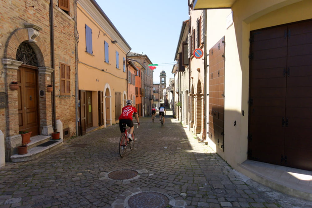
Schöne Runde. Durch das Industriegebiet nach Pesaro rein etwas weniger schön, dafür ist dann die Panoramico umso schöner.

Am Hafen von Pesaro etwas Umwege im Track, da wir was zum Essen gesucht haben und der Garmin sich mal ausgeschaltet hat...
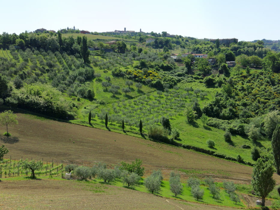
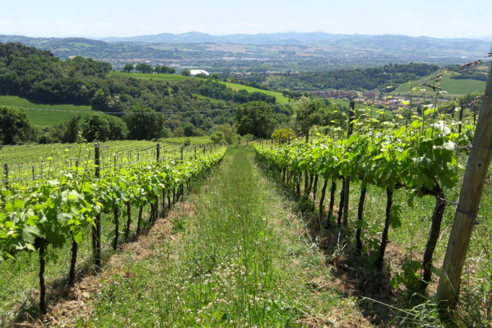
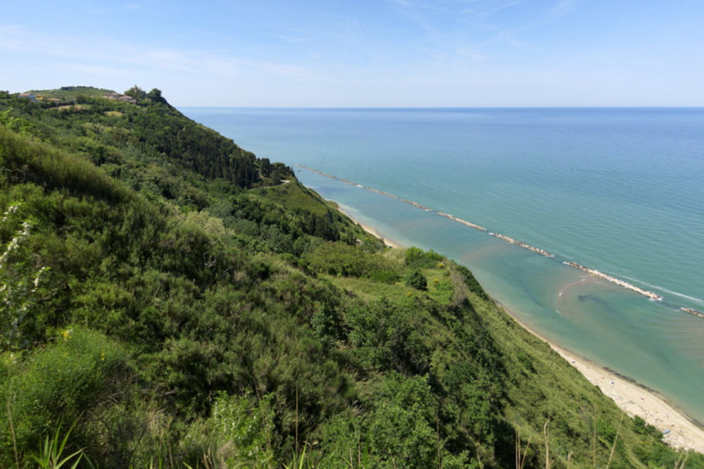
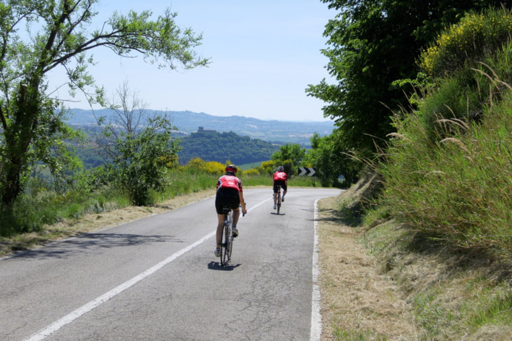
 

Tour gallery

Tour map and elevation profile

  • Open Street Map
  • Google
Minimum height -92 m Maximum height 386 m Detailed view

More about the tour author

Tourmalet
Member since 2008

Send private message

Comments

GPS tracks

Trackpoints
  • GPX / Garmin Map Source (gpx) download
  • TCX / Garmin Training Center® (tcx) download
  • CRS / Garmin Training Center® (crs) download
  • Google Earth (kml) download
  • G7ToWin (g7t) download
  • TTQV (trk) download
  • Overlay (ovl) download
  • Fugawi (txt) download
  • Kompass (DAV) Track (tk) download
  • Track data sheet (pdf) download
  • Original file of the author (gpx) download

More about the tour author

Tourmalet
Member since 2008

Send private message
Share track
Add to my favorites
Remove from my favorites
Edit tags
My score
Rate
Track: Von Riccione nach Saludecio und Pesaro
Type: Road biking
Distance: 97,3 km
Evaluated on:
Duration:
Day(s)
Hour(s)
Minute(s)
Score: Landscape Fun factor Fitness Technique