


Start ist am Mittersiller Bahnhof, hinter dem man auch Parken kann. Beim Wegpunkt Paß Thurn 71 kann man alternativ auch zum Schloss. Die Runde dauert dann cirka 40 Minuten länger. Weiter dann auf Weg 71.
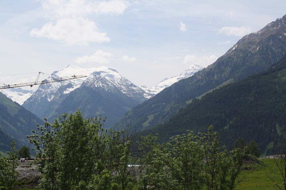
Beim Wegpunkt Sitzbank hat man einen herrlichen Blick in Felbertal.
Wenn man sich beim Wegpunkt 'Alternativ' links hält (wie im Track) kommt man auf einen steilen Naturweg, der bei Nässe sehr rutschig sein kann. Es ist wohl besser gerade aus zu gehen, ist flacher,dafür cirka 1km mehr.
Endpunkt ist wieder der Mittersiller Bahnhof.
Tour gallery
Tour map and elevation profile
Minimum height 802 m
Maximum height 1021 m
More about the tour author
|
|
dogmatix |
Comments

GPS tracks
Trackpoints-
GPX / Garmin Map Source (gpx) download
-
TCX / Garmin Training Center® (tcx) download
-
CRS / Garmin Training Center® (crs) download
-
Google Earth (kml) download
-
G7ToWin (g7t) download
-
TTQV (trk) download
-
Overlay (ovl) download
-
Fugawi (txt) download
-
Kompass (DAV) Track (tk) download
-
Track data sheet (pdf) download
-
Original file of the author (gpx) download
More about the tour author
|
|
dogmatix |
Add to my favorites
Remove from my favorites
Edit tags
Open track
My score
Rate