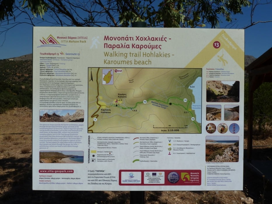
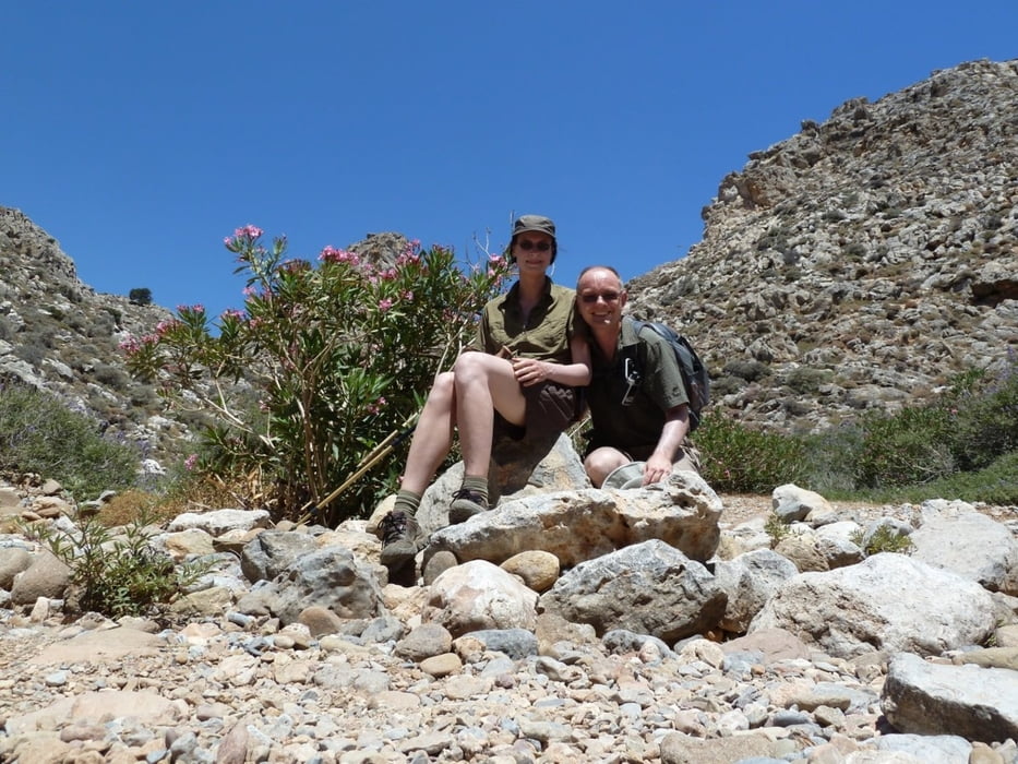
This is a hiking-track in the area between Palekastro and Zakros (Eastern End of Crete).
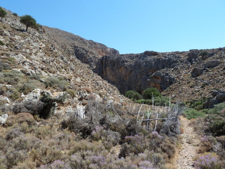
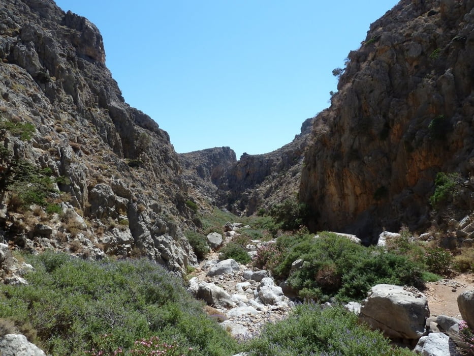
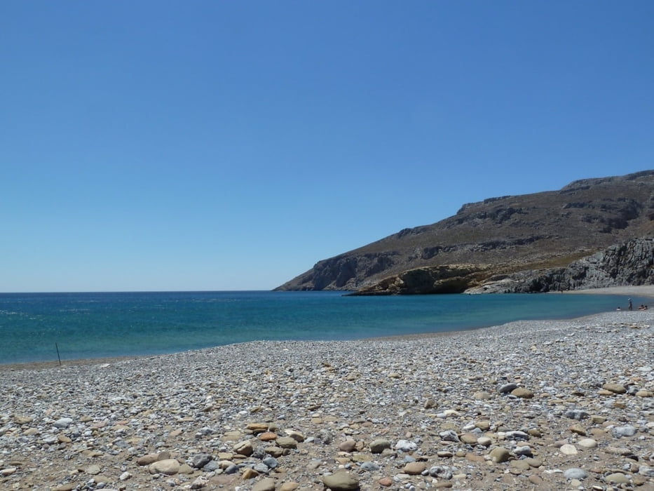
It is a nice trip through Chochlakies Gorge, ending on the broad beach of Karoumes. The walk of the Gorge is fairly easy, although we had to abort our first hike in April 20111 since the Gorge was still full of water at a narrow point. Karoumes beach offers nice possibilities for swimming, but there is not too much shadow available.
No Taverns or villages can be found on the whole trip, so water and sun protection is essential.
From Karoumes you can either return through the Gorge, or you can walk southwards towards pelekita cave and continue to Kato Zakros. I have not made this trip yet, but right at the beginning it will mount in some high ledges.
Further information at
http://www.sitia-geopark.gr/en.aspxTour gallery
Tour map and elevation profile
Comments

The best point to begin is at the small Chapel behind the village of Chochlakies. You will have to drive thorugh a narrow alley in Chochlakies to reach this parking.
GPS tracks
Trackpoints-
GPX / Garmin Map Source (gpx) download
-
TCX / Garmin Training Center® (tcx) download
-
CRS / Garmin Training Center® (crs) download
-
Google Earth (kml) download
-
G7ToWin (g7t) download
-
TTQV (trk) download
-
Overlay (ovl) download
-
Fugawi (txt) download
-
Kompass (DAV) Track (tk) download
-
Track data sheet (pdf) download
-
Original file of the author (gpx) download

