

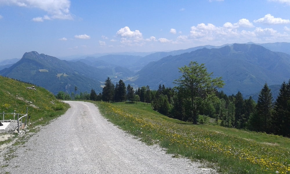
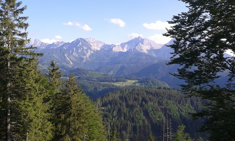
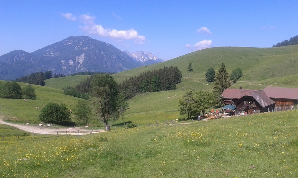
Schöne, liebliche Landschaft, nichts Spektakuläres trotzdem eine Wohltat! Streckenführung, wie so häufig bei offiziellen Routen - ich hab mich großteils an die Vorgaben gehalten (http://www.kalkalpentour.at/strecke-varianten/kalkalpentour-xl.html) - doch ziemlich asphaltlastig und teilweise "sinnlose" Schlenker. Leute zum Großteil außergewöhnlich freundlich - sind offenbar noch nicht von der großen Tourismuswelle verdorben. Vielleicht auch daher recht preiswert.
Alles in allem recht empfehlenswert, allerdings würde ich die Strecke dort und da etwas abwandeln.
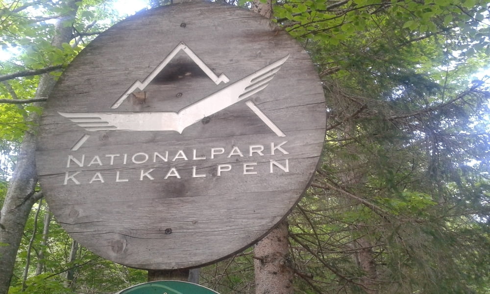
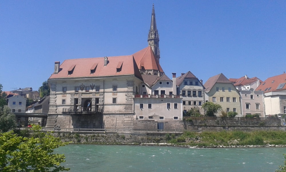
Tour gallery
Tour map and elevation profile
Minimum height 266 m
Maximum height 1224 m
More about the tour author
|
|
mitter |
Comments

Start in Steyr, Anreise mit dem Zug. Retour von St. Valentin.
GPS tracks
Trackpoints-
GPX / Garmin Map Source (gpx) download
-
TCX / Garmin Training Center® (tcx) download
-
CRS / Garmin Training Center® (crs) download
-
Google Earth (kml) download
-
G7ToWin (g7t) download
-
TTQV (trk) download
-
Overlay (ovl) download
-
Fugawi (txt) download
-
Kompass (DAV) Track (tk) download
-
Track data sheet (pdf) download
-
Original file of the author (gpx) download
More about the tour author
|
|
mitter |
Add to my favorites
Remove from my favorites
Edit tags
Open track
My score
Rate