Login

Forgotten password?

Cookies have to be accepted!
Your browser's cookie functionality is disabled. Please enable this functionality.

Not a member yet?

Register now
Login

Available for registred users only

Log in to use this feature.

Forgotten password?

Cookies have to be accepted!
Your browser's cookie functionality is disabled. Please enable this functionality.

Not a member yet?

Register now
Filter
Categories
Advanced filters
  • Distance (km)
  • Height
Save filters Reset filter

TrackRank

QRCode

Technical data

Distance10,6 km Height226 m Way down221 m Duration03:00 h:m Date11.06.2015
Scores Author Landscape Fun factor Fitness Technique

Statistics

406 Views Scores 57 Downloads Average
Rate
  • Track data sheet
  • Directions
  • Downloads

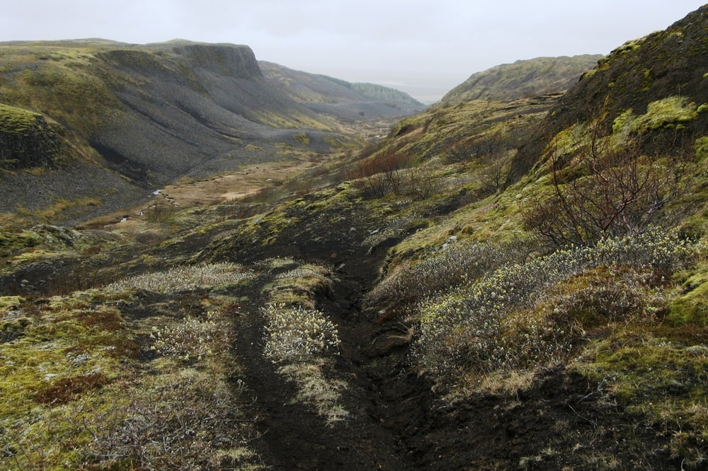
Die Wanderung ist anfangs (die ersten 5 km) sehr einfach zu bewältigen. Sind zunächst fast ausschließlich einfach zu findende Waldwege zu laufen, so sind die Pfade später oftmals ausgesetzt. Eine Wegzeichenmarkierung ist nicht vorhanden. Bei der späteren Kammüberquerung läuft man als Orientierungshilfe einfach am Viehzaun entlang, bis auf der anderen Seite der Hügelkette ein sichtbarer Weg erreicht wird.

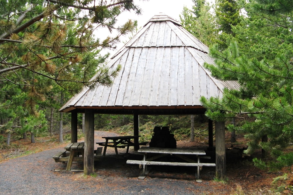
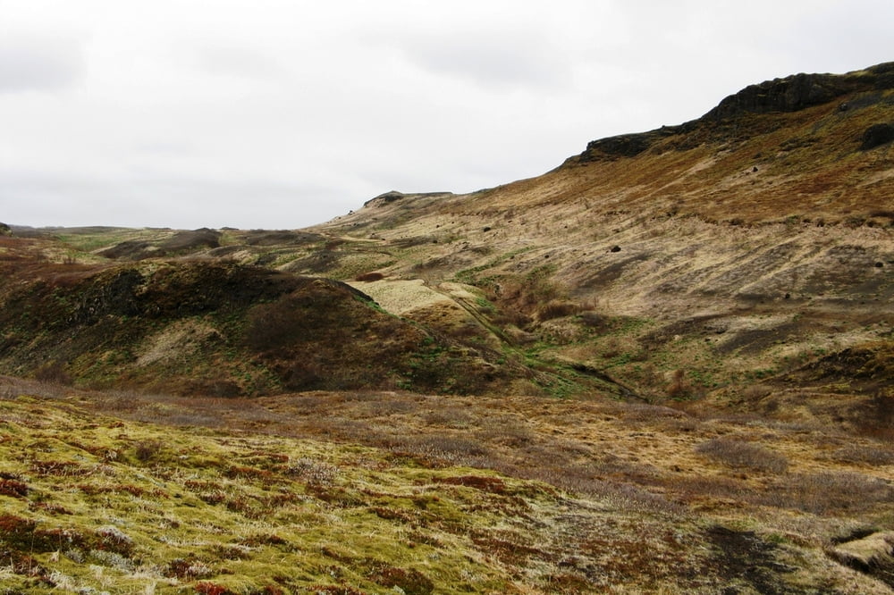
Alles in allem eine lohnenswerte Wanderung mit schönen Sichten (entsprechendes Wetter vorausgesetzt) ohne Gastronomie und Unterstellmöglichkeiten bei einsetzendem Starkregen.

Tour gallery

Tour map and elevation profile

  • Open Street Map
  • Google
Minimum height 144 m Maximum height 358 m Detailed view

More about the tour author

asbach63
Member since 2009

Send private message

Comments

GPS tracks

Trackpoints
  • GPX / Garmin Map Source (gpx) download
  • TCX / Garmin Training Center® (tcx) download
  • CRS / Garmin Training Center® (crs) download
  • Google Earth (kml) download
  • G7ToWin (g7t) download
  • TTQV (trk) download
  • Overlay (ovl) download
  • Fugawi (txt) download
  • Kompass (DAV) Track (tk) download
  • Track data sheet (pdf) download
  • Original file of the author (gpx) download

More about the tour author

asbach63
Member since 2009

Send private message
Share track
Add to my favorites
Remove from my favorites
Edit tags
My score
Rate
Track: Rundwanderung am Fossá í Þjórsárdal
Type: Mountain hiking
Distance: 10,6 km
Evaluated on:
Duration:
Day(s)
Hour(s)
Minute(s)
Score: Landscape Fun factor Fitness Technique