


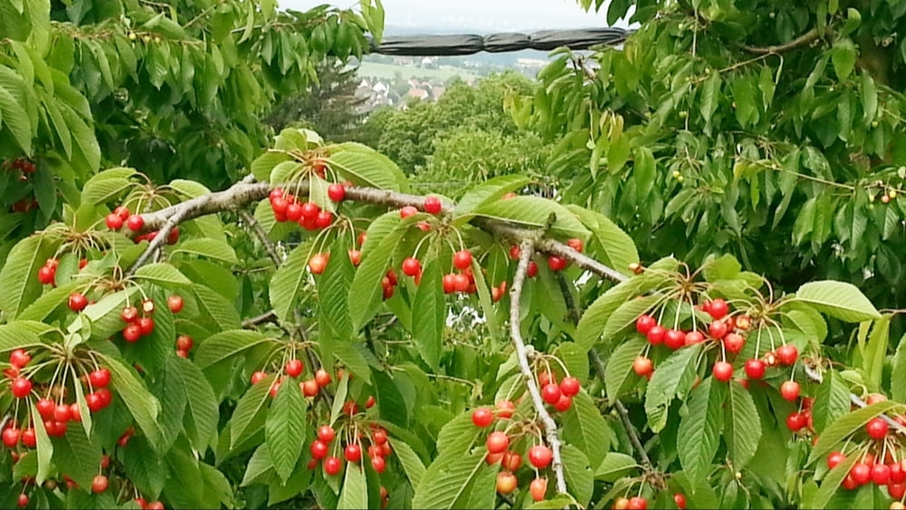
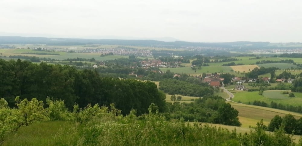
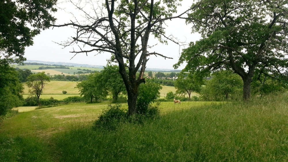
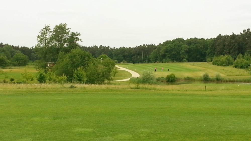
Vom Parkplatz nach Westen, bald abwärts über Wiese, rechts ab- Markierung Rotpunkt an Baum- nach Großenbuch. In Ortsmitte rechts nach Oberlindelbach. Auf der Höhe an großem Kirschgarten rechts ab mit Blaupunkt/ Jakobsweg. Links am Waldrand zur Straße, darüber hinweg und rechts abwärts nach Etlaswind. Geradeaus über die Straße auf Mühlweg weiter, an Bauernhof vorbei zu Straße in Neubau. Kurz an der Straße entlang, links mit Jakobsweg über Golfplatz hinweg. Vor Kleinsendelbach am Waldende (Markierung an Baum links) rechts über Wiesenweg ziemlich geradeaus nach Schellenberg; rechts auf Straße zum Parkplatz.
HINWEIS zum Video:
Mit Mozilla Firefox und Flash- Player Plugin startet das Video direkt.
Andernfalls verwendet ihr in eurem Browser den Link:
https://www.google.de/#q=iA66jc3gkkc&channel=fs&gws_rd=cr,ssl
Further information at
http://www.terrasound.de/gemafreie-musik-kostenlos-downloaden/Tour gallery

Tour map and elevation profile
Minimum height 333 m
Maximum height 461 m
More about the tour author
|
|
heinz-57 |
Comments

Von Neunkirchen am Brand kommend nach Kleinsendelbach, links nach Schellenberg. Nach Ortsende an Rechtskurve Parkmöglichkeit.
GPS tracks
Trackpoints-
GPX / Garmin Map Source (gpx) download
-
TCX / Garmin Training Center® (tcx) download
-
CRS / Garmin Training Center® (crs) download
-
Google Earth (kml) download
-
G7ToWin (g7t) download
-
TTQV (trk) download
-
Overlay (ovl) download
-
Fugawi (txt) download
-
Kompass (DAV) Track (tk) download
-
Track data sheet (pdf) download
-
Original file of the author (gpx) download
More about the tour author
|
|
heinz-57 |
Add to my favorites
Remove from my favorites
Edit tags
Open track
My score
Rate