

Hallo,
wer gerne Rad fährt , wird diese Tour lieben !
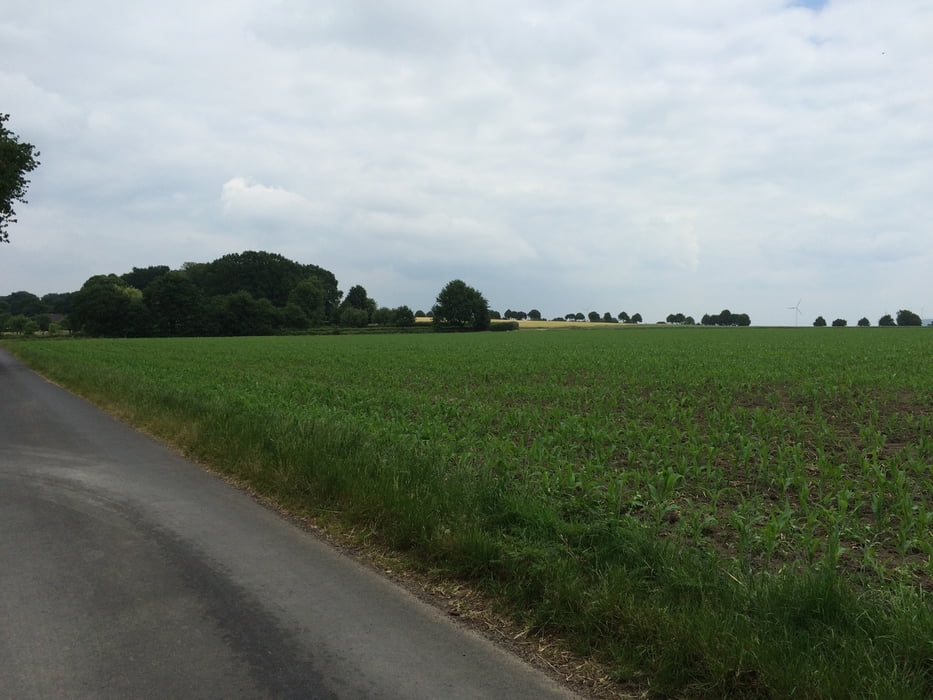
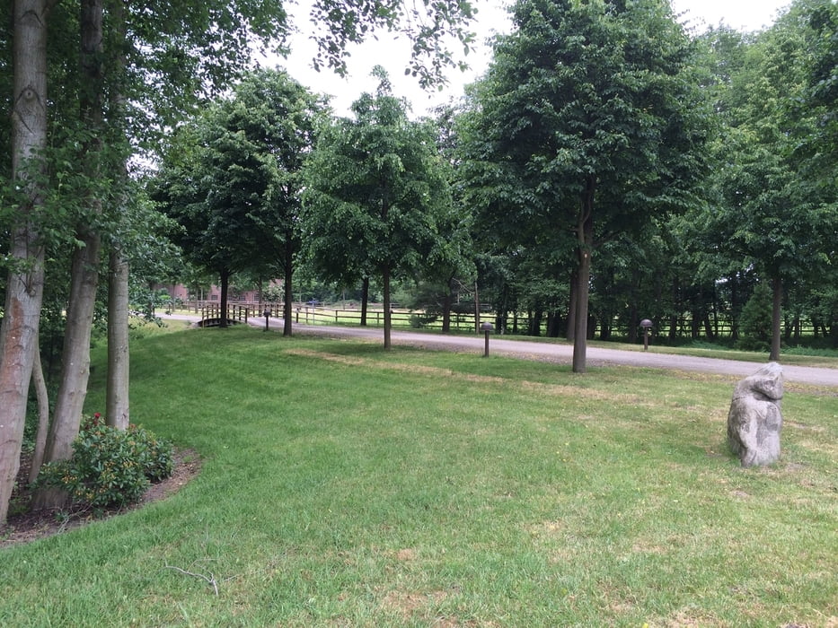
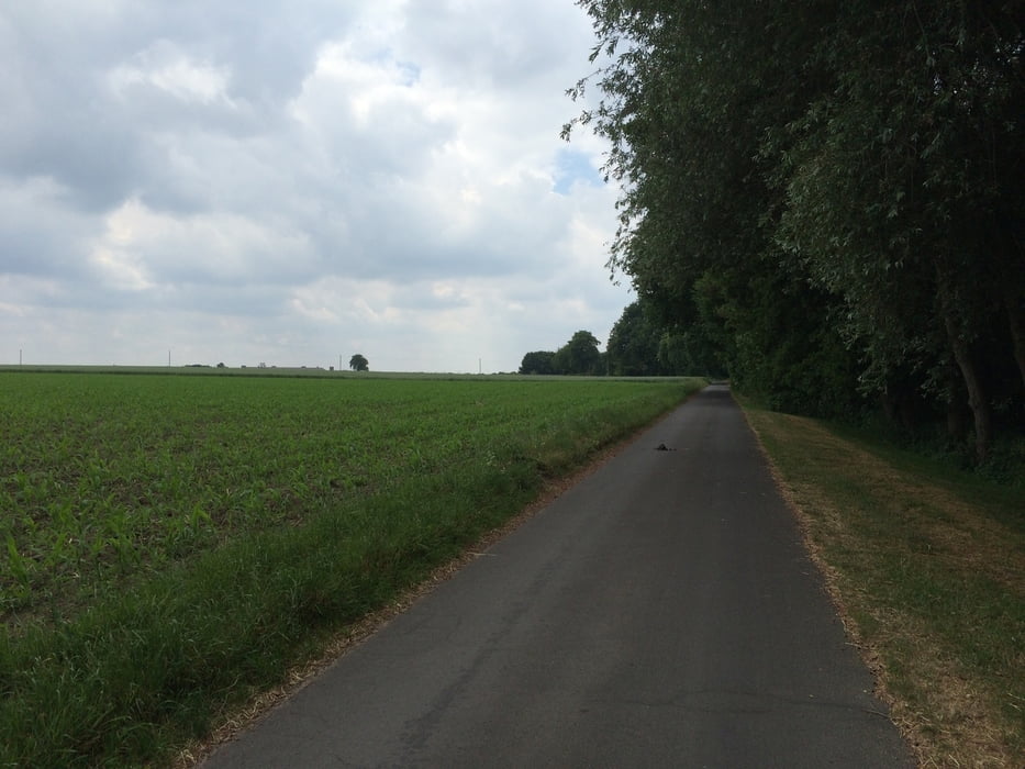
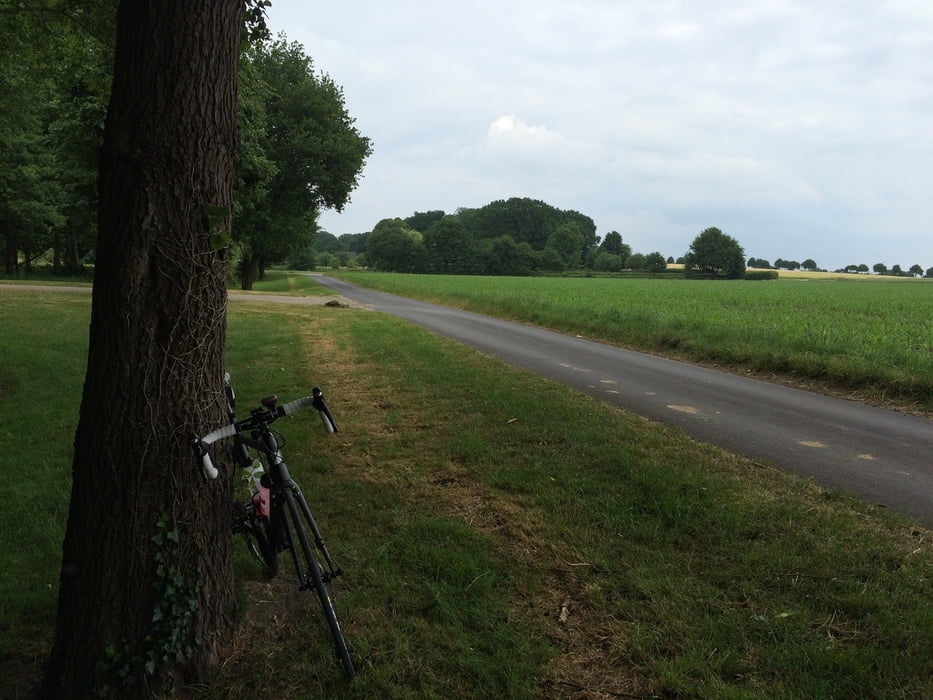
Es geht an der Prosperstr. los. Dort gibt es genügend Parkplätze, um dort zu starten. Von dort muß man zuerst einmal raus aus der Stadt und fährt durch eine Wohnsiedlung, durch ein Industriegebiet bis nach Grafenwald. Ab hier wird die Landschaft immer schöner. Man fährt größtenteils abseits vom Trubel. Bauernhöfe, Pferde, Wälder,Felder und später auch Seen säumen den Weg. Die Wege sind alle asphaltiert und sind gut zu befahren. Mehrere Biergärten laden zum Verweilen ein. Aber auch die ein- oder andere Bank kann man zum Verschnaufen und Durchatmen nutzen.. Auf dem Rückweg muß man kurze Zeit an einer Landstraße am Rand fahren. Es sind aber nur 200-300 m.
Über eine Mail oder eine pos. Bewertung würde ich mich sehr freuen !
Liebe Grüße
André
Tour gallery
Tour map and elevation profile
Minimum height 56 m
Maximum height 103 m
More about the tour author
|
|
Hallo-Andre |
Comments

Start und Ziel : B 224- Prosperstr. Richtung Alpincenter
GPS tracks
Trackpoints-
GPX / Garmin Map Source (gpx) download
-
TCX / Garmin Training Center® (tcx) download
-
CRS / Garmin Training Center® (crs) download
-
Google Earth (kml) download
-
G7ToWin (g7t) download
-
TTQV (trk) download
-
Overlay (ovl) download
-
Fugawi (txt) download
-
Kompass (DAV) Track (tk) download
-
Track data sheet (pdf) download
-
Original file of the author (gpx) download
More about the tour author
|
|
Hallo-Andre |
Add to my favorites
Remove from my favorites
Edit tags
Open track
My score
Rate