


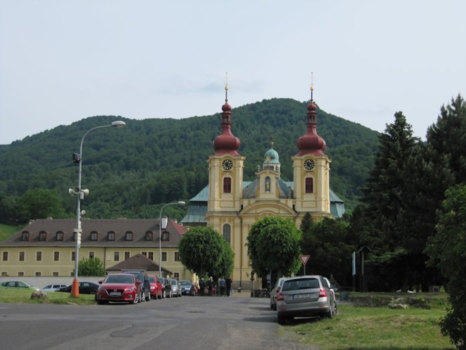
Start ist in Hejnice an der Basilika
dann geht es über Liebwerda - FASS - nach Nove Mesto Pod Smrkem
in Liebwerda gibt es das Bikecentre und von Nove Mesto aus kann man die Singletrails abfahren
es geht bergan, über uns schwebt öfters mal die Seilbahn
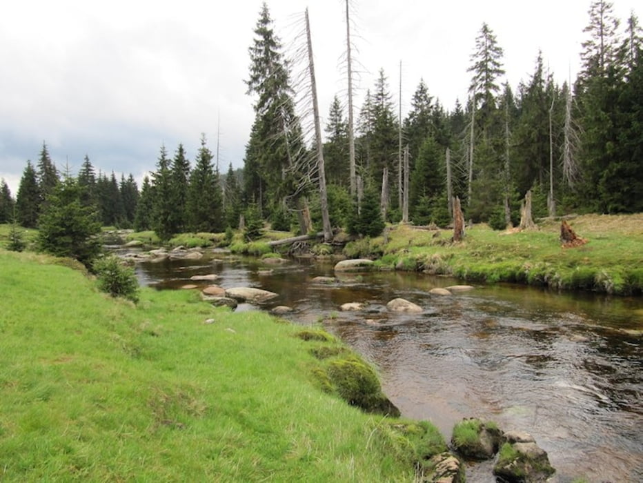
oben angekommen führt unser Weg weiter über die Große Iserwiese - herrliche Natur - nach Jizerka
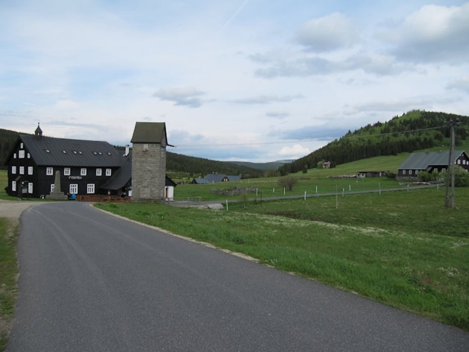
dort in der Sommerfrische kann man das nahegelegene Moor besuchen und den Sonnentau bestaunen oder einfach nur das Bier und gute Essen genießen
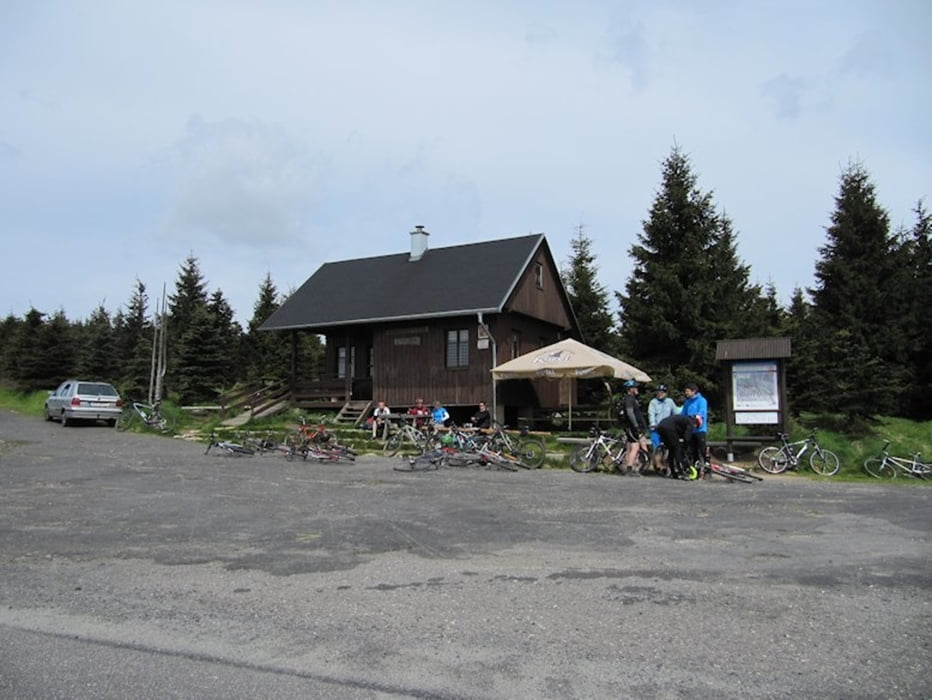
weiter geht es in Richtung "Na Kneipe" - beliebter Treffpunkt im Winter wie im Sommer um die Bergkuppen herum bis nach Hrebinek, wo es nochmals Erfrischungen gibt
ab da gehts abwärts - 400 Höhenmeter auf etwa 9 km - aber Achtung, ab und zu kommt auch einer entgegen
noch ein kurzer kleiner Stich bis zum Oldrichoer Pass und dann am Gebirge in etwa einer Höhe entlang gehts zurück bis zur Abfahrt nach Hejnice
Tour gallery
Tour map and elevation profile
Minimum height 374 m
Maximum height 1020 m
More about the tour author
|
|
schwaran |
Comments

A4 bis Görlitz, dann nach Polen Zawidow, über Frylandt nach Hejnice
GPS tracks
Trackpoints-
GPX / Garmin Map Source (gpx) download
-
TCX / Garmin Training Center® (tcx) download
-
CRS / Garmin Training Center® (crs) download
-
Google Earth (kml) download
-
G7ToWin (g7t) download
-
TTQV (trk) download
-
Overlay (ovl) download
-
Fugawi (txt) download
-
Kompass (DAV) Track (tk) download
-
Track data sheet (pdf) download
-
Original file of the author (gpx) download
More about the tour author
|
|
schwaran |
Add to my favorites
Remove from my favorites
Edit tags
Open track
My score
Rate