Login

Forgotten password?

Cookies have to be accepted!
Your browser's cookie functionality is disabled. Please enable this functionality.

Not a member yet?

Register now
Login

Available for registred users only

Log in to use this feature.

Forgotten password?

Cookies have to be accepted!
Your browser's cookie functionality is disabled. Please enable this functionality.

Not a member yet?

Register now
Filter
Categories
Advanced filters
  • Distance (km)
  • Height
Save filters Reset filter

TrackRank

QRCode

Technical data

Distance9,9 km Height151 m Way down570 m Duration02:12 h:m Date19.06.2015
Scores Author Landscape Fun factor Fitness Technique

Statistics

219 Views Scores 14 Downloads Average
Rate
  • Track data sheet
  • Directions
  • Downloads
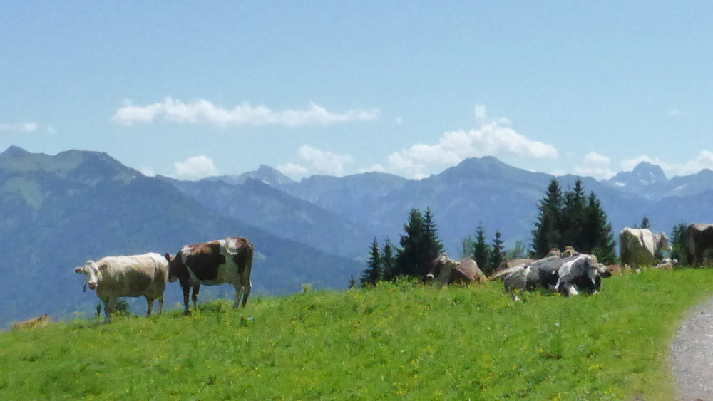
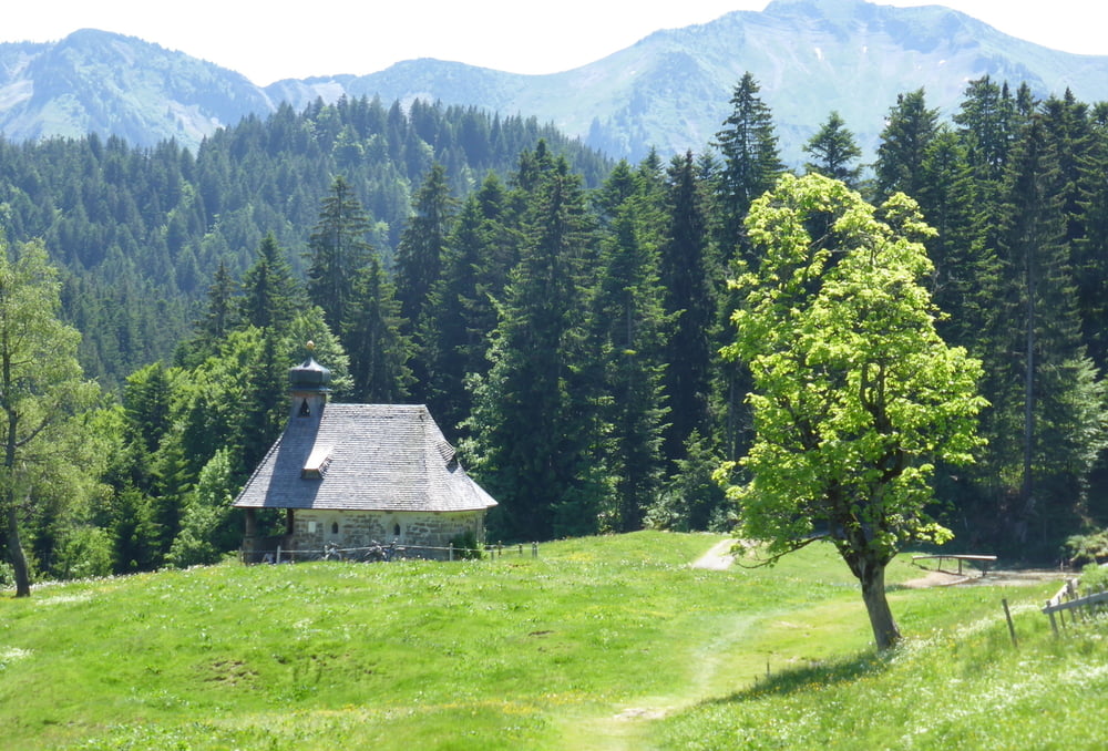
Leichte Tour von Blödele im wesenlichen abwärts via Lustenauer Hütte nach Schwarzenberg

Tour gallery

Tour map and elevation profile

  • Open Street Map
  • Google
Minimum height 710 m Maximum height 1278 m Detailed view

More about the tour author

horst1508
Member since 2012

Send private message

Comments

mit öffentlichen Verkehrsmitteln: vom Bahnhof Dornbirn mit dem Bus 38 in knapp 20 Minuten


GPS tracks

Trackpoints
  • GPX / Garmin Map Source (gpx) download
  • TCX / Garmin Training Center® (tcx) download
  • CRS / Garmin Training Center® (crs) download
  • Google Earth (kml) download
  • G7ToWin (g7t) download
  • TTQV (trk) download
  • Overlay (ovl) download
  • Fugawi (txt) download
  • Kompass (DAV) Track (tk) download
  • Track data sheet (pdf) download
  • Original file of the author (gpx) download

More about the tour author

horst1508
Member since 2012

Send private message
Share track
Add to my favorites
Remove from my favorites
Edit tags
My score
Rate
Track: Bödele - Schwarzenberg
Type: Hiking
Distance: 9,9 km
Evaluated on:
Duration:
Day(s)
Hour(s)
Minute(s)
Score: Landscape Fun factor Fitness Technique