
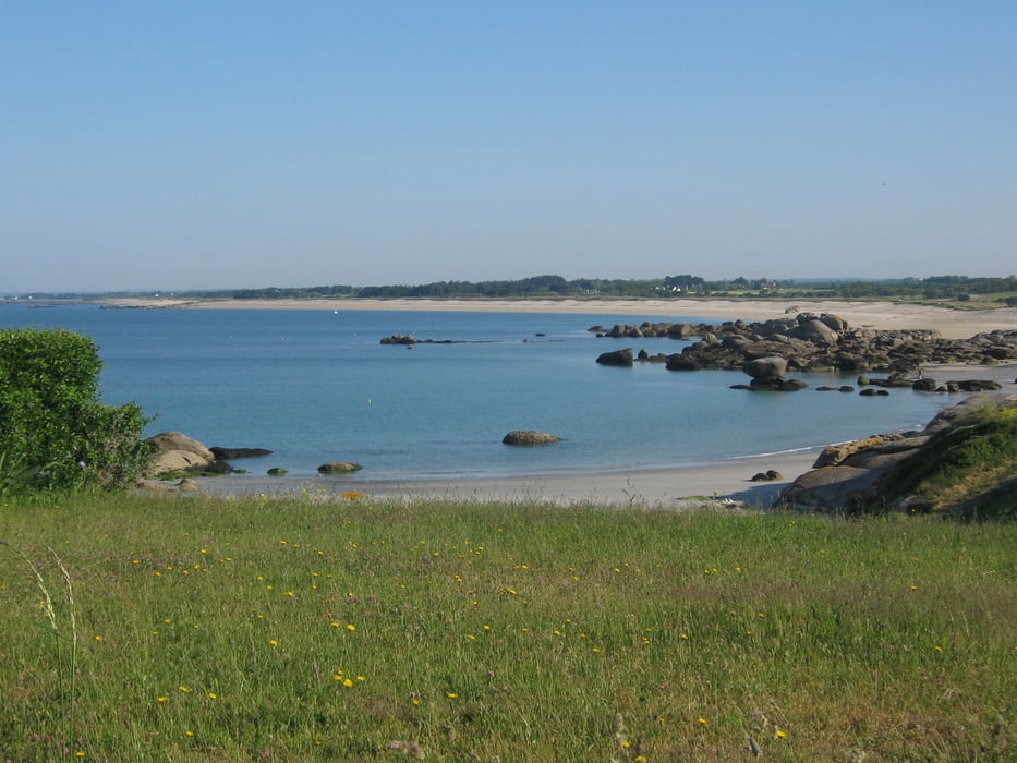

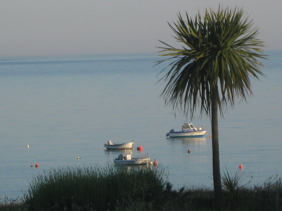
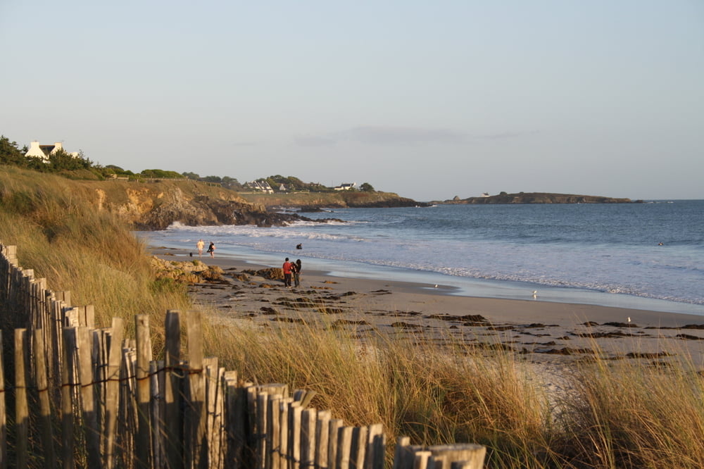
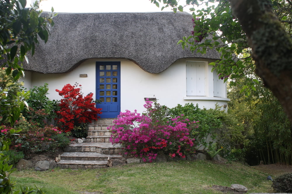
Wir wandern vom Plage de Kersidan nach Tréhubert, dann geht es in die "Feuchtgebiete" von Kersidan und weiter zum Strand hinunter und über den zurück. Also ab dann auf dem Chemin des Sables bis hin zur D 1, über die drüber und weiter über die Impasse des Petites Roches und die Route des Pins zur Rue de Chardons Bleus. Die bringt uns zielsicher nach Tréhubert, Hent an Tirien und Hent Trehuber führen uns durch den blumigen Weiler, dann wird die Route de Kersidan etwas schräg überschritten und auf etwas feuchtem Wanderweg und dann links abbiegend noch etwas feuchteren Wanderpfad geht es –auf Bohlen und deshalb durchaus trockenen Fußes- weiter, bis wir auf den Hent Keryann einbiegen, der uns hinunter zum Plage de Kersidan führt. Auf dem Côtier Sentier geht es nun weiter bis zum Ausgangspunkt unserer kleinen viereinhalb Kilometer-Wanderung am Chemin des Sables 28.
Tour gallery
Tour map and elevation profile
Minimum height -1 m
Maximum height 29 m
More about the tour author
|
|
Sigi2910 |
Comments

GPS tracks
Trackpoints-
GPX / Garmin Map Source (gpx) download
-
TCX / Garmin Training Center® (tcx) download
-
CRS / Garmin Training Center® (crs) download
-
Google Earth (kml) download
-
G7ToWin (g7t) download
-
TTQV (trk) download
-
Overlay (ovl) download
-
Fugawi (txt) download
-
Kompass (DAV) Track (tk) download
-
Track data sheet (pdf) download
-
Original file of the author (gpx) download
More about the tour author
|
|
Sigi2910 |
Add to my favorites
Remove from my favorites
Edit tags
Open track
My score
Rate