
)")

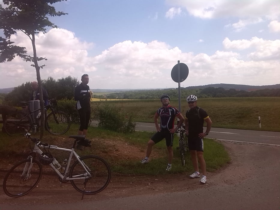
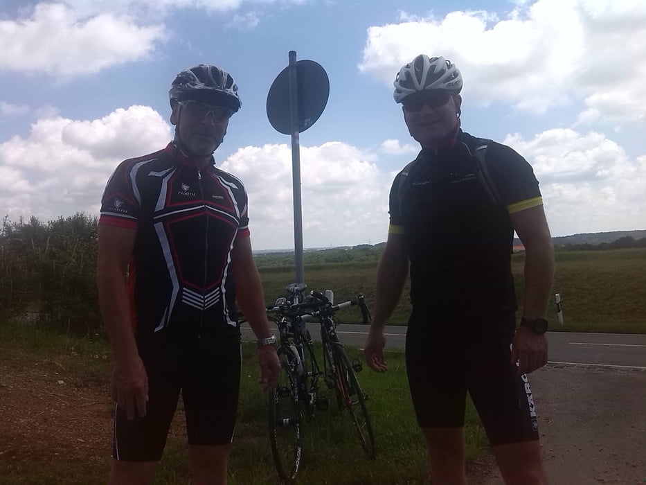
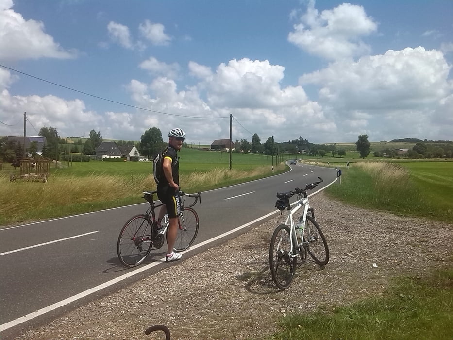
Grober Tourverlauf ca. 80km von Chemnitz nach Zwickau ein paar Anstiege auf dem Rückweg über Glauchau fast alles flach bis auf den Oberlungwitzer Berg.
Start Chemnitz Kaßberg
Mittelbach
Oberlungwitz
Bernsdorf
Mülsen
Zwickau
Oberrothenbach
VW-Mosel
Glauchau
St.Egidien
Hermsdorf
Oberlungwitz
Mittelbach
Schönau Stadtteil Chemnitz
Further information at
http://www.de.wikipedia.org/wiki/ZwickauTour gallery
Tour map and elevation profile
Minimum height 231 m
Maximum height 387 m
More about the tour author
|
|
JanJensen |
Comments

nach Zwickau mit dem Auto von Chemnitz
Abfahrt: Chemnitz, Stadtmitte
1
Verlassen Sie Chemnitz
5.5 km 00h14
2
A72
E441
Nach rechts abbiegen : A72 / E441 Richtung:
A72
Hof -
6.5 km 00h15 Weiterfahren nach links : A72 / E441 Richtung:
A72
Hof
Zwickau
17 km 00h22 Fahren Sie vorbei an Stollberg
33 km 00h32 Nehmen Sie die Ausfahrt in Richtung:
11
Zwickau-Ost
Zwickau-Ost
Wildenfels
VW-Werk
34 km 00h32
3
Nach rechts abbiegen : S283 Richtung:
Zwickau
38 km 00h36
4
Ankommen in Zwickau
42 km 00h47
Ziel erreicht: Zwickau, Stadtmitte
GPS tracks
Trackpoints-
GPX / Garmin Map Source (gpx) download
-
TCX / Garmin Training Center® (tcx) download
-
CRS / Garmin Training Center® (crs) download
-
Google Earth (kml) download
-
G7ToWin (g7t) download
-
TTQV (trk) download
-
Overlay (ovl) download
-
Fugawi (txt) download
-
Kompass (DAV) Track (tk) download
-
Track data sheet (pdf) download
-
Original file of the author (gpx) download
More about the tour author
|
|
JanJensen |
Add to my favorites
Remove from my favorites
Edit tags
Open track
My score
Rate