


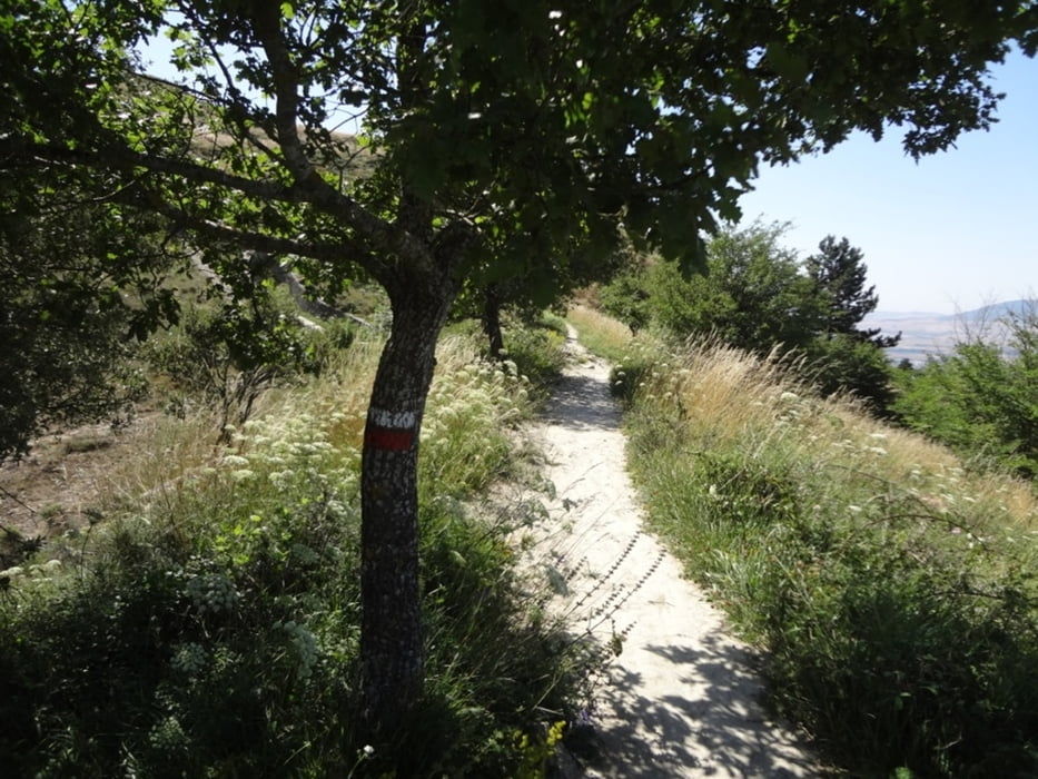
Von der Altstadt Pamplonas begrenzt der Monte Ezcaba den Blick nach Norden. Er lässt sich vom Portal Franca bequem zu Fuß in einer halben Stunde erreichen. Dann beginnt ein steiler Aufstieg, zunächst entlang einer Wiese, später im Wald. Auf dem Bergkamm stösst man auf eine rot-weiße Markierung, die zum Fort San Cristóbal führt. Dieses wurde während der Tour umrundet und dann ging es zurück in die Altstadt von Pamplona (Casco Antiguo).
Further information at
https://es.wikipedia.org/wiki/Monte_EzcabaTour gallery

Tour map and elevation profile
Minimum height 379 m
Maximum height 936 m
More about the tour author

|
Binuschka |
Comments

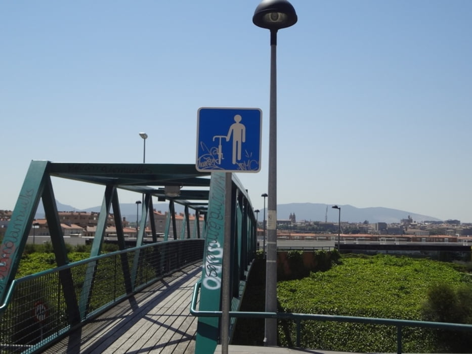
Die Tour beginnt am Portal Franca in der nördlichen Stadtmauer Pamplonas und endet am Aufzug nahe der Puente de la Rochapea über den Fluss Arga.
GPS tracks
Trackpoints-
GPX / Garmin Map Source (gpx) download
-
TCX / Garmin Training Center® (tcx) download
-
CRS / Garmin Training Center® (crs) download
-
Google Earth (kml) download
-
G7ToWin (g7t) download
-
TTQV (trk) download
-
Overlay (ovl) download
-
Fugawi (txt) download
-
Kompass (DAV) Track (tk) download
-
Track data sheet (pdf) download
-
Original file of the author (gpx) download
More about the tour author
|
|
Binuschka |
Add to my favorites
Remove from my favorites
Edit tags
Open track
My score
Rate