Login

Forgotten password?

Cookies have to be accepted!
Your browser's cookie functionality is disabled. Please enable this functionality.

Not a member yet?

Register now
Login

Available for registred users only

Log in to use this feature.

Forgotten password?

Cookies have to be accepted!
Your browser's cookie functionality is disabled. Please enable this functionality.

Not a member yet?

Register now
Filter
Categories
Advanced filters
  • Distance (km)
  • Height
Save filters Reset filter

TrackRank

QRCode

Technical data

Distance176,4 km Height1924 m Way down1889 m Duration09:00 h:m Date13.07.2015
Scores Author Landscape Fun factor Fitness Technique

Statistics

257 Views Scores 37 Downloads Average
Rate
  • Track data sheet
  • Directions
  • Downloads

Tour entlang der Bezirksgrenze des Bezirk Braunau am Inn

 Start in Braunau am Inn an der Innbrücke.

Tour wurde im Urzeigersinn gefahren.

15min Schiebestrecke auf den Tannberg.
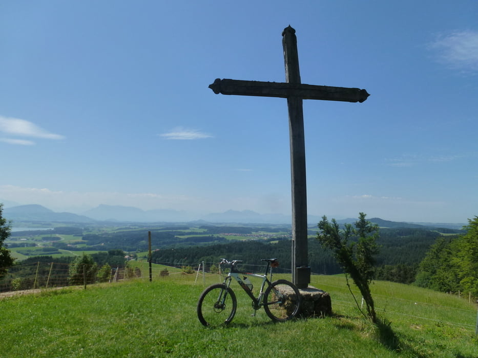
Tour gallery

Tour map and elevation profile

  • Open Street Map
  • Google
Minimum height 286 m Maximum height 798 m Detailed view

More about the tour author

thomas_504
Member since 2009

Send private message

Comments

GPS tracks

Trackpoints
  • GPX / Garmin Map Source (gpx) download
  • TCX / Garmin Training Center® (tcx) download
  • CRS / Garmin Training Center® (crs) download
  • Google Earth (kml) download
  • G7ToWin (g7t) download
  • TTQV (trk) download
  • Overlay (ovl) download
  • Fugawi (txt) download
  • Kompass (DAV) Track (tk) download
  • Track data sheet (pdf) download
  • Original file of the author (gpx) download

More about the tour author

thomas_504
Member since 2009

Send private message
Share track
Add to my favorites
Remove from my favorites
Edit tags
My score
Rate
Track: Rund um den Bezirk Braunau
Type: Mountain bike
Distance: 176,4 km
Evaluated on:
Duration:
Day(s)
Hour(s)
Minute(s)
Score: Landscape Fun factor Fitness Technique