


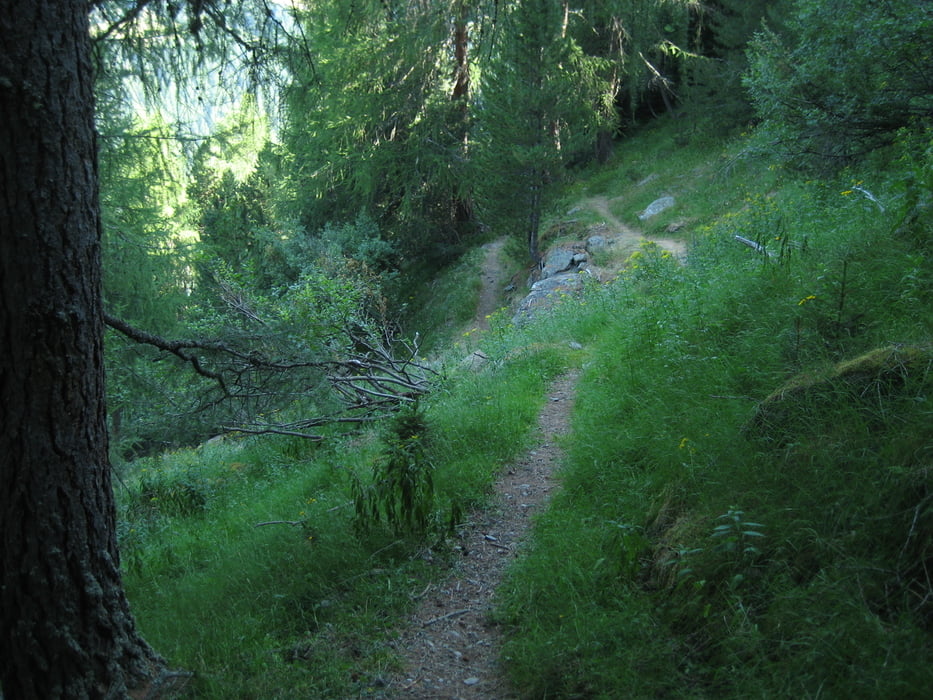
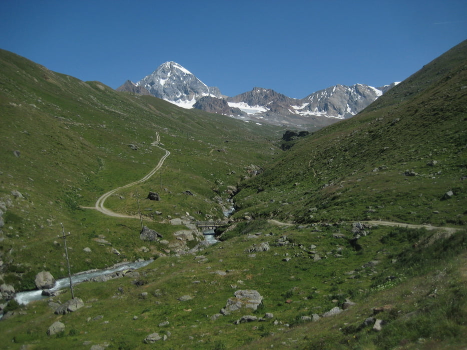
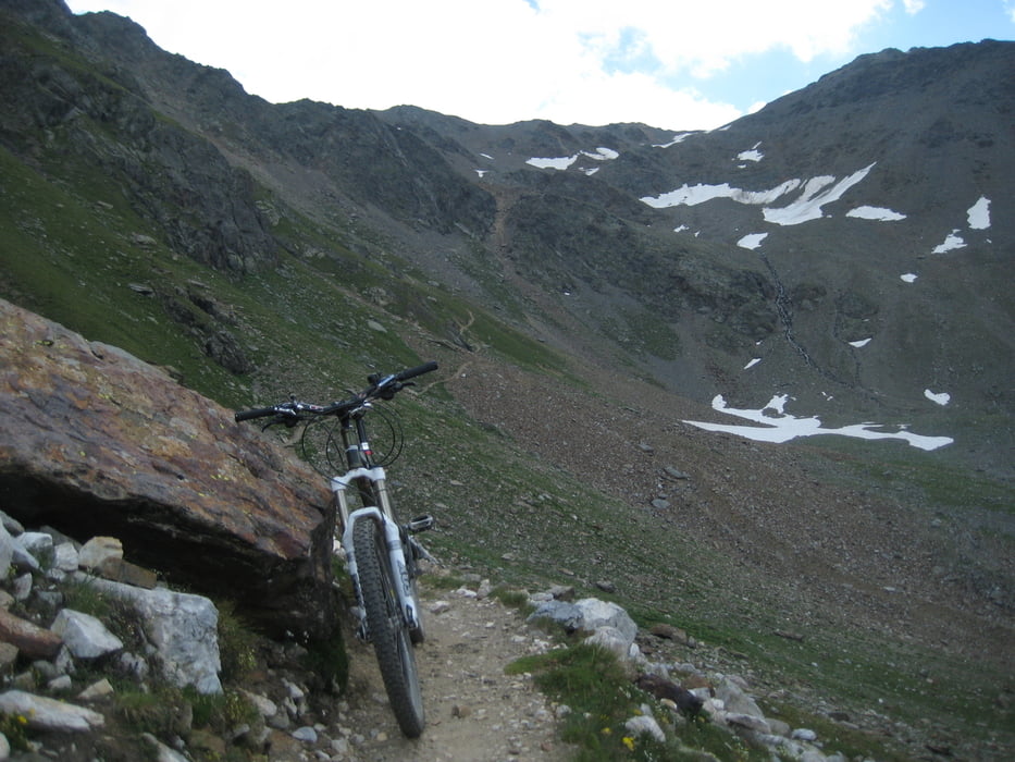
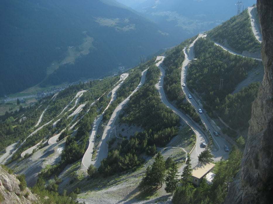
vom Gavia pass auf Enduro-Abfahrt Weg 25A; S2+ in auf und ab bis Abzweig 25B; dann super trail mit Spitzkehren hinab nach S. Catarina(1700m); auf Teer steil bis Rif. Forni; Rif Pizzini (2700) auf zuerst steiler Forststrasse; 1h schieben zum Zebru Pass (3010m); bergab 20Min schieben mit Steilstelle (seil);dann lange trail (S1/S2) und dann Forstweg-Abfahrt bis Bormio (1225m); auf kleiner Teerstrasse zum Cancano See; Übernachtung Rif Scale Park (2000m)
Tour gallery
Tour map and elevation profile
Minimum height 1195 m
Maximum height 3008 m
More about the tour author

|
trailhunterM |
Comments

Fortsetzung 2. Tag
GPS tracks
Trackpoints-
GPX / Garmin Map Source (gpx) download
-
TCX / Garmin Training Center® (tcx) download
-
CRS / Garmin Training Center® (crs) download
-
Google Earth (kml) download
-
G7ToWin (g7t) download
-
TTQV (trk) download
-
Overlay (ovl) download
-
Fugawi (txt) download
-
Kompass (DAV) Track (tk) download
-
Track data sheet (pdf) download
-
Original file of the author (gpx) download
More about the tour author
|
|
trailhunterM |
Add to my favorites
Remove from my favorites
Edit tags
Open track
My score
Rate