
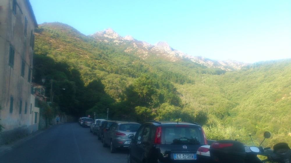

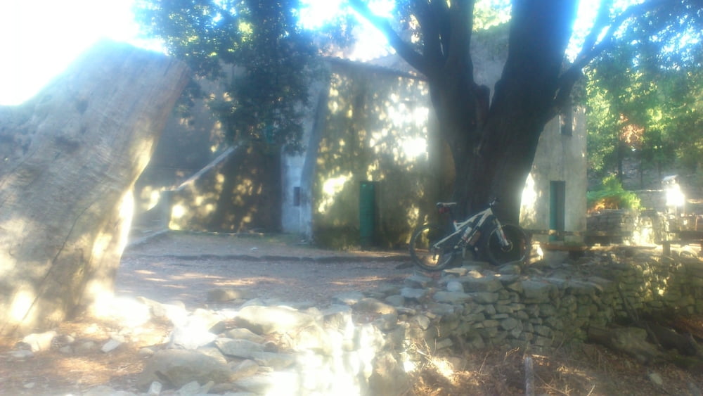
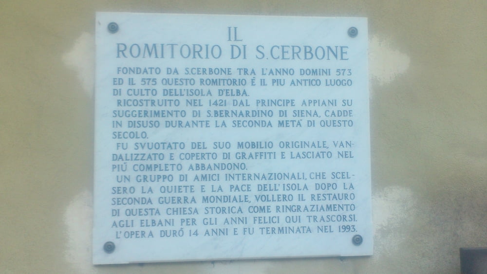
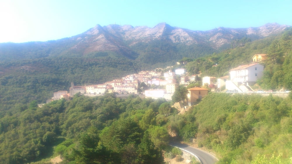
Lasciata la macchina nei pressi dell'aereoporto si risale per bella sterrata fino a Poggio (acqua). Si prende poi la traccia per il santuario di San Cerbone (sbarra). Oltrepassato tenere la sinistra e con brevi tratti a piedi si va a prendere una bella sterrata in discesa per Marciana. Poco prima a sinistra si risale a tratti anche a piedi per un sentiero lastricato che porta al santuario della Madonna del Monte (acqua), Si percorre tutta la via crucis in discesa passando prima per Marciana e poi per Poggio. Si risale poi in mezzo al bosco per strada asfaltata a zero traffico ma sopratutto ombreggiata fino alla cima del monte Perone (Santuario delle farfalle). Da qui una lunga e divertentissima discesa vi riporterà al punto di partenza.
Tour gallery
Tour map and elevation profile
Minimum height 6 m
Maximum height 617 m
More about the tour author

|
mikyross |
Comments

italy livorno toscana isola d'elba campo nell'elba aeroporto
GPS tracks
Trackpoints-
GPX / Garmin Map Source (gpx) download
-
TCX / Garmin Training Center® (tcx) download
-
CRS / Garmin Training Center® (crs) download
-
Google Earth (kml) download
-
G7ToWin (g7t) download
-
TTQV (trk) download
-
Overlay (ovl) download
-
Fugawi (txt) download
-
Kompass (DAV) Track (tk) download
-
Track data sheet (pdf) download
-
Original file of the author (gpx) download
More about the tour author
|
|
mikyross |
Add to my favorites
Remove from my favorites
Edit tags
Open track
My score
Rate