Login

Forgotten password?

Cookies have to be accepted!
Your browser's cookie functionality is disabled. Please enable this functionality.

Not a member yet?

Register now
Login

Available for registred users only

Log in to use this feature.

Forgotten password?

Cookies have to be accepted!
Your browser's cookie functionality is disabled. Please enable this functionality.

Not a member yet?

Register now
Filter
Categories
Advanced filters
  • Distance (km)
  • Height
Save filters Reset filter

TrackRank

QRCode

Technical data

Distance7,9 km Height466 m Way down466 m Duration03:30 h:m Date29.07.2015
Scores Author Landscape Fun factor Fitness Technique

Statistics

635 Views Scores 23 Downloads Average
Rate
  • Track data sheet
  • Directions
  • Downloads
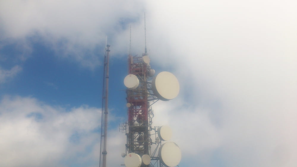
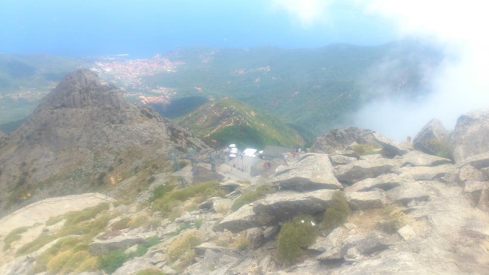
Ascesa al monte Capanne partendo dall'area di sosta del monte Perone. Salita per il sentiero 00 con breve via ferrata e discesa per sentiero normale. Rifugio aperto in estate in cima al monte Capanne. Buona escursione. 

Tour gallery

Tour map and elevation profile

  • Open Street Map
  • Google
Minimum height 610 m Maximum height 1008 m Detailed view

More about the tour author

mikyross
Member since 2014

Send private message

Comments

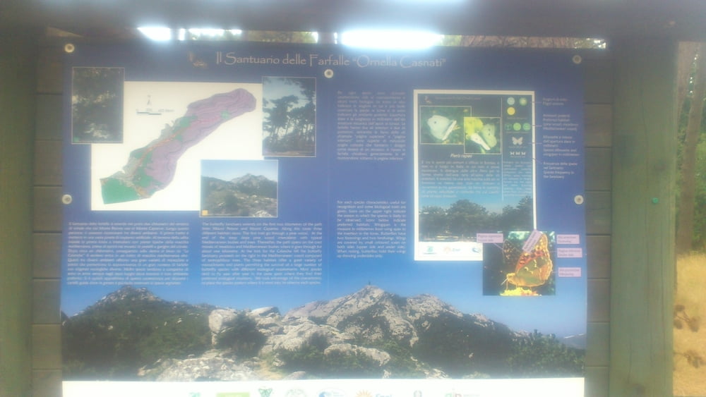
italy toscana livorno isola d'elba marciana monte perone

GPS tracks

Trackpoints
  • GPX / Garmin Map Source (gpx) download
  • TCX / Garmin Training Center® (tcx) download
  • CRS / Garmin Training Center® (crs) download
  • Google Earth (kml) download
  • G7ToWin (g7t) download
  • TTQV (trk) download
  • Overlay (ovl) download
  • Fugawi (txt) download
  • Kompass (DAV) Track (tk) download
  • Track data sheet (pdf) download
  • Original file of the author (gpx) download

More about the tour author

mikyross
Member since 2014

Send private message
Share track
Add to my favorites
Remove from my favorites
Edit tags
My score
Rate
Track: Monte Perone 00 Monte Capanne
Type: Hiking
Distance: 7,9 km
Evaluated on:
Duration:
Day(s)
Hour(s)
Minute(s)
Score: Landscape Fun factor Fitness Technique