

Nette Tour mit schönen Ausblicken. Nur der Abschnitt über Wiese und Hohenbrand nach Birkland ist nicht so empfehlenswert. Kurz vor Hohenbrand ein ca. 300m langer ungeteerter, ziemlich grobschottriger Abschnitt und in Hohenbrand ein aggressiver freilaufender Hund. Da würde ich beim nächsten Mal wieder auf der normalen Strasse über Aich nach Birkland bleiben.
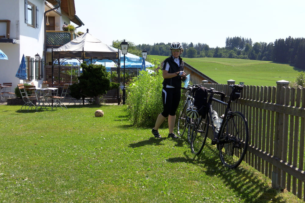
Bei schönem Wetter sehr nette Einkehr im Garten der Zauberhütte: http://www.zauberhuette.com/
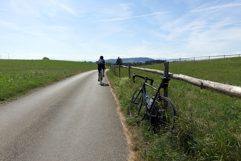
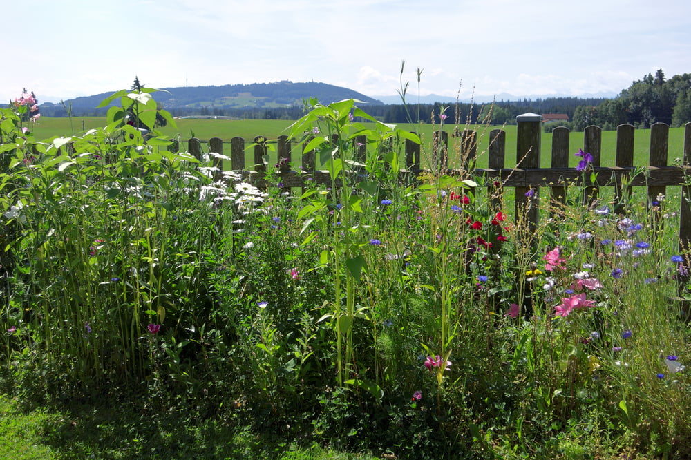
Tour gallery
Tour map and elevation profile
Minimum height 594 m
Maximum height 776 m
More about the tour author

|
Tourmalet |
Comments

GPS tracks
Trackpoints-
GPX / Garmin Map Source (gpx) download
-
TCX / Garmin Training Center® (tcx) download
-
CRS / Garmin Training Center® (crs) download
-
Google Earth (kml) download
-
G7ToWin (g7t) download
-
TTQV (trk) download
-
Overlay (ovl) download
-
Fugawi (txt) download
-
Kompass (DAV) Track (tk) download
-
Track data sheet (pdf) download
-
Original file of the author (gpx) download
More about the tour author
|
|
Tourmalet |
Add to my favorites
Remove from my favorites
Edit tags
Open track
My score
Rate