


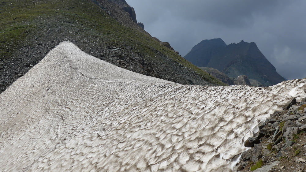
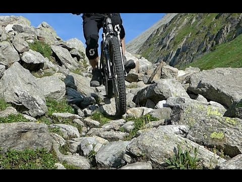
Eine Traumtour die allerdings nicht ohne eigene Planung nachgefahren werden sollte. Es ist eine gute körperliche und geistige Verfassung, alpine Erfahrung und eine überdurchschnittliche Fahrtechnik erforderlich. Die Tour verläuft bis in Höhen über 2700 m und führt durch ausgesetztes, steiles Gelände. Es sind Tragepassagen zwischen 30 min und etwa 2 h zu bewältigen. Auf einigen Abschnitten besteht zur Zeit Fahrverbot. Mountainbiken ist gefährlich und kann zu Unfällen mit Todesfolge führen.
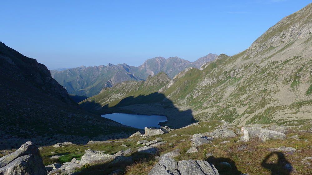
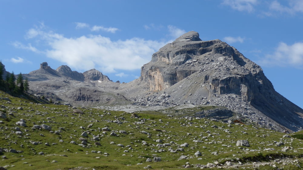
Pässe: Lafatscher Joch, Naviser Joch, Brenner, Flatschjoch mit Wolfendorn, Pfunderer Joch, Eisbruggjoch, Nevesjoch, Ochsenlenke, Klammljoch, Staller Sattel, Tadegajoch, Grödner Joch, Sellajoch, Schlern
Übernachtungen in: Scharnitz, Voldertalhütte, Gries, Kematen, Edelrauthütte, Prettau, Patscher Hütte, Camping Olympia (Cortina), Sellajoch
Tour gallery
Tour map and elevation profile
Minimum height 225 m
Maximum height 2782 m
More about the tour author

|
MTBxyz |
Comments

Anreise nach Garmisch mit Bahn oder Auto (auch Mietwagenstationen vorhanden)
Abreise vom Kalterer See: eine reichliche Stunde mit dem Rad nach Bozen zum Bahnhof (ca. 20 km, 300 Hm)
GPS tracks
Trackpoints-
GPX / Garmin Map Source (gpx) download
-
TCX / Garmin Training Center® (tcx) download
-
CRS / Garmin Training Center® (crs) download
-
Google Earth (kml) download
-
G7ToWin (g7t) download
-
TTQV (trk) download
-
Overlay (ovl) download
-
Fugawi (txt) download
-
Kompass (DAV) Track (tk) download
-
Track data sheet (pdf) download
-
Original file of the author (gpx) download
More about the tour author
|
|
MTBxyz |
Add to my favorites
Remove from my favorites
Edit tags
Open track
My score
Rate