


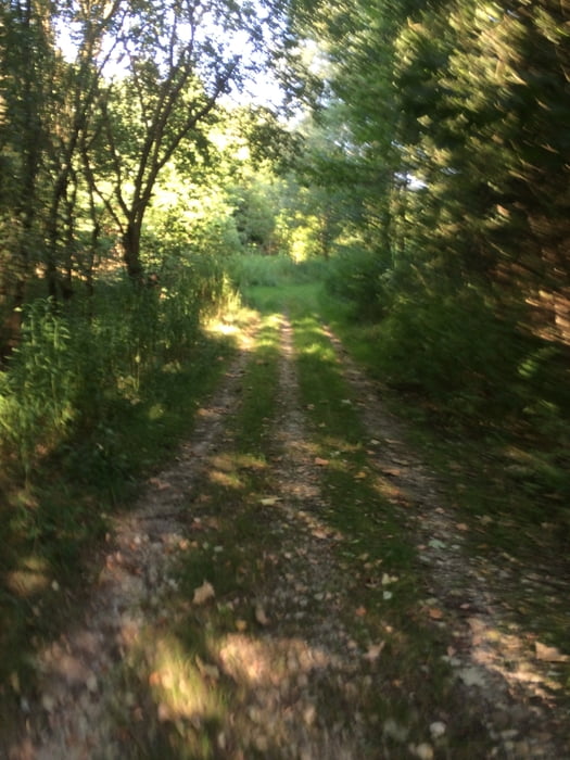
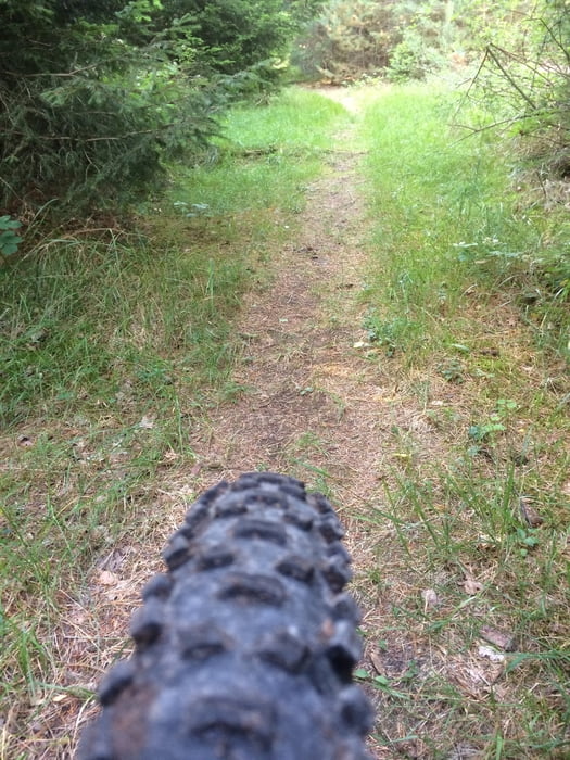
Die „Gfoid ma“ is wie der Name scho sagt Runde im Landshuter Süden die ma super gfoid :) . Die Schmankerl-Trails muss man sich mit ein paar Verbindungskilometern erradeln. Die Tour empfiehlt sich besonders wenn wie heute (6.8.15) die Bauern schon fleißig waren, aber bis auf einige Meter ist auch sonst fast alles gut befahrbar. Wird sicher in dieser Variante eine meiner Lieblingsrunden werden. Viel Spaß und lasst mal hören wie sie euch gefällt ! Uwe
Tour gallery
Tour map and elevation profile
Minimum height 400 m
Maximum height 516 m
More about the tour author
|
|
UweEibel |
Comments
Am besten startet man in LA Berg am Parkplatz vom TUS Berg Fussbballplatz
GPS tracks
Trackpoints-
GPX / Garmin Map Source (gpx) download
-
TCX / Garmin Training Center® (tcx) download
-
CRS / Garmin Training Center® (crs) download
-
Google Earth (kml) download
-
G7ToWin (g7t) download
-
TTQV (trk) download
-
Overlay (ovl) download
-
Fugawi (txt) download
-
Kompass (DAV) Track (tk) download
-
Track data sheet (pdf) download
-
Original file of the author (gpx) download
More about the tour author
|
|
UweEibel |
Add to my favorites
Remove from my favorites
Edit tags
Open track
My score
Rate
Gfoid ma a